We are headed to the Utah Panhandle for our forecast today. Have you ever been?
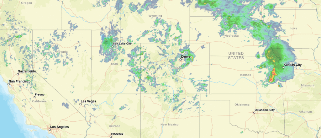
At 151PM, MT, Logan was reporting light rain, and a temperature of 43 degrees. A deep trough aloft has helped generate a strong area of cyclonic flow centered over northern New Mexico. Scattered showers are widespread across the Central Rockies, with snow common at elevation. Logan is on the back side of the feature, and is enduring the cooler wet weather.
Despite the surface feature intensifying and shifting towards the Great Lakes, moisture will remain strewn through the Rockies, riding the northern flank of the jet. Spots of rain will be in the forecast through the day tomorrow but ultimately, the vigorous jet is the culprit, and will carry most of the moisture at altitude. Rain and snow will thin vertically, and Tuesday morning will be dry in Logan, but not in the Wasatch.
Tomorrow – Mostly cloudy, scattered showers, High 51, Low 35
Tuesday – Partly cloudy, clearing, High 56, Low 32
TWC: Tomorrow – Overcast. High 52, Low 33
Tuesday – Intervals of clouds and sunshine in the morning with more clouds for later in the day High 55, Low 31
AW: Tomorrow – Cool with intervals of clouds and sun; widely separated afternoon thundershowers High 52, Low 33
Tuesday -A shower in the area in the morning; otherwise, mostly cloudy High 55, Low 34
NWS: Tomorrow -Rain showers likely before 9am, then rain and snow showers likely between 9am and noon, then rain showers likely after noon. Some thunder is also possible. Mostly cloudy, High 52, Low33
Tuesday – A chance of showers, with thunderstorms also possible after noon. Partly sunny High 56, Low 32
WB: Tomorrow -Snow showers in the morning then snow showers rain showers and a slight chance of thunderstorms in the afternoon. Mostly cloudy. Accumulation 1 inch High 43, Low 33
Tuesday -A chance of snow showers and a slight chance of thunderstorms in the morning then a chance of snow showers rain showers and a slight chance of thunderstorms in the afternoon High 47, Low 33
WN: Tomorrow – Mostly cloudy with a light wintry mix and isolated storms. High 52, Low 33
Tuesday – Partly cloudy with scattered showers and isolated storms, High 56, Low 32
CLI: Tomorrow – Heavy snow showers High 50, Low 32
Tuesday – Light rain showers High 53, Low 31
There is some variability on the end time for precipitation. I feel as though the position at the var northern end of Utah will isolate Logan a bit from the steering flow and dry them out a bit. Only one way to find out. It is quite wet tonight, however.