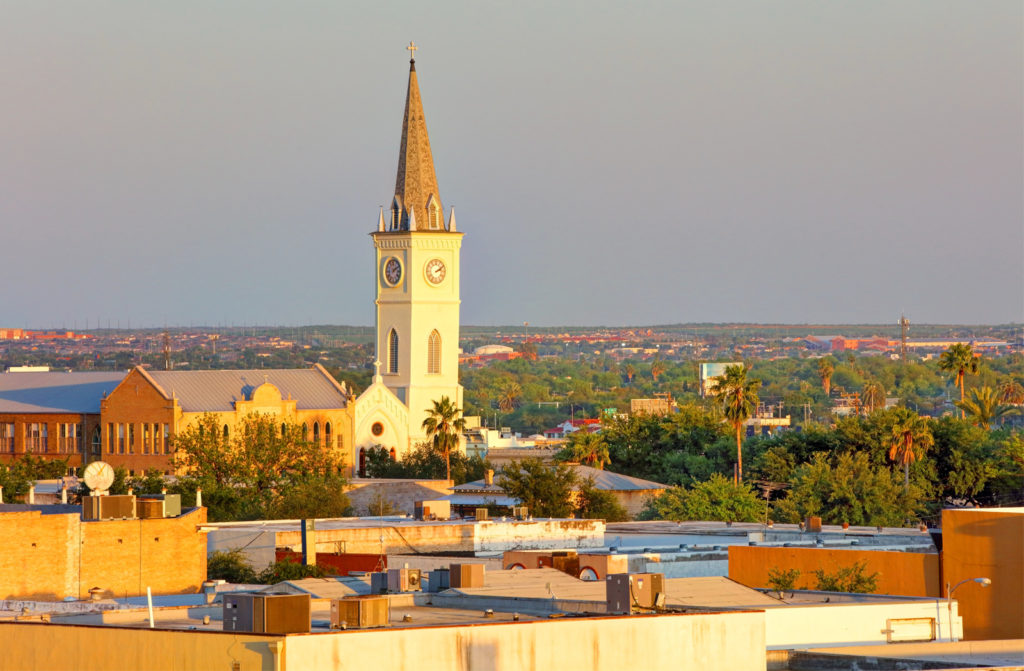
It’s a busy stretch of weather across almost the entire country, so obviously let’s just drive right through it. It’s going to take 3 1/2 days to cover the 1,965 miles between the two cities. Fortunately, we will have a lot of freeway time, which will mean a pace of 67.8mph, or 542 a day for those first three days.
DAY ONE (Friday)

The most recent storm system to sweep through the country caused some nasty weather in the southeastern US last night, particularly with tornadoes in Alabama and Georgia. The feature is going to be bothering Labrador by the time we are hitting the road from Laredo, though, and we will have the benefit of relatively cool high pressure for the drive through the Lone Star State. Arrival in Louisiana will coincide with a return flow setting up, and the potential for some low level moisture, including mist and light rain from Lake Charles to our destination for Friday night, Cecilia. Don’t be surprise if this turns into some murky fog as we set out on Saturday morning.
DAY TWO (Saturday)
That return flow from the Gulf is going to find a ripe environment in the Plains for development. As we get started, precipitation will already have exploded from the Great Lakes, where snow is possible, south through the Tennessee Valley. We will drive through the day in the warm sector of this new feature. By the end of the day, the pivot point for the surface low will be centered around Cincinnati, with a cold front to Shreveport and a warm front stretched towards Washington. With this positioning, Fog will be possible in the morning, through our northerly turn at Slidell, but the clouds may start filtering back in as we hit some terrain in northern Alabama, calling it a night in Hammondville, Alabama, which will come right before we pass into Georgia and then Chattanooga.
DAY THREE (Sunday)
That rain, including some embedded thunderstorm activity is going to hit like a freight train overnight in northern Alabama. It will still be pouring as we start packing our things to hit the road on Sunday morning. The bulk of the severe activity will hit to the west and a little south of our stop in Hammondville, but flash flooding is severe weather too. Our drive through steep terrain for most of the day may be plagued by some lingering effects, as heavy precipitation will have moved through every section of our route. If there is good news, it is that precipitation will move too quickly to really add up. Still, bear in mind the slick roadways and embrace how much drier it is by the time we get to the eastern face of the Appalachians, where rain will cut off much sooner. The day will take us to Woodstock in northern Virginia, leaving a half day to Binghamton.
DAY FOUR (Monday)
In the wake of the most recent round of significant weather coming this weekend, brisk west wind will trigger an active lake effect regime throughout the Eastern Great Lakes, Mostly clear skies should dominate our drive, with an exception as we approach Binghamton, when some of that Lake snow may filter through.

