Durham, North Carolina

We are 4 days into December, and it’s already snowed twice at the Victoria-Weather headquarters. Let’s see how it is going in North Carolina.

At 1130, ET, Durham was reporting a temperature of 39 degrees with clear skies. An elongated ridge ran along the coast, with the southwestern end nosing into the Carolinas, keeping Durham dry this evening. The tenuous existence of the ridge will make the Carolinas susceptible to wet weather over the next couple of days, despite the clear skies at present.
There is a low level perturbation that is moving east out of northern Alabama tonight, and will attempt to wrap under the southern Appalachians and into the Carolina Plains with limited success. A more notable feature moving through Canada will dangle a cold front that eventually catches up to the perturbation lurking in the southeast. This boundary will more effectively tap into the moisture drawn in tomorrow morning, leading to some clouds and light rain throughout the day on Tuesday. Don’t expect the front to ever reach Durham, however, so a dramatic cool down will be averted.
Tomorrow – Partly cloudy, High 55, Low 32
Tuesday – Mostly cloudy with some light rain, High 59, Low 46

TWC: Tomorrow – Considerable cloudiness. High 55, Low 29
Tuesday – Cloudy with showers High 58, Low 45

AW: Tomorrow – Some sunshine giving way to clouds High 54, Low 29
Tuesday – Cloudy with a passing shower High 58, Low 44

NWS: Tomorrow -Partly sunny, High 53, Low 29
Tuesday – A chance of rain before 8am, then showers likely, mainly between 8am and 2pm. Cloudy High 59, Low 43

WB: Tomorrow – Mostly cloudy, late rain High 53, Low 30
Tuesday – Cloudy. Showers mainly in the morning. High 59, Low 45

WN: Tomorrow – Partly Cloudy, High 53, Low 31
Tuesday – Mostly cloudy with showers likely, High 57, Low 43

FIO: Tomorrow – Partly cloudy throughout the day. High 51, Low 35
Tuesday – Rain until night, starting again in the afternoon. High 59, Low 484

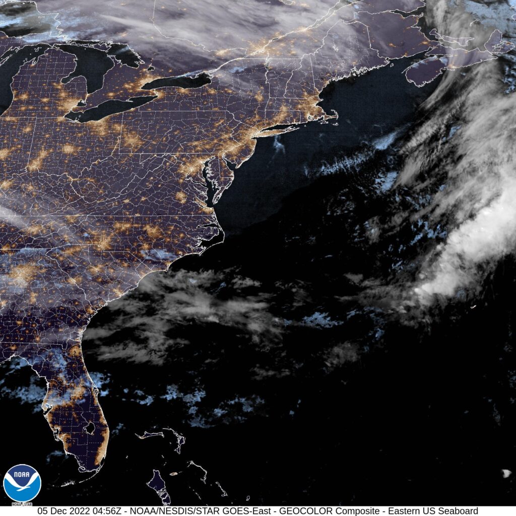
Satellite tonight shows whispers of clouds over Durham, but a pleasant day is promised ahead, unless you ask Weatherbug.
,

Tulsa, Oklahoma

Today’s forecast takes us to another part of the country that is known for strong spring time weather, after Decatur earlier this week. Will Tulsa see cool and calm like Decatur did, or will we see something different?

At 953AM, Tulsa was reporting a brisk 42 degrees with mostly cloudy skies and wind gusting over 20mph. The jet was quite strong, which is not unusual for the time of year, and ridging through the center of the country. High pressure centered over the Ohio Valley was generating the brisk wind on it’s back side, with return flow bringing some of the cloud and chances for rain in the southern Plains.
Over the Rockies, this same strong jet is producing a trough, which hasn’t fully materialized into a surface low yet, thanks to the local terrain. Expect a deep area of low pressure to emerge over South Dakota tomorrow morning, enhancing the windy conditions over Tulsa. Flow will be from the southwest, with high pressure still nosing into the northern Gulf, and this will staunch moisture flow into Oklahoma. The associated cold front will arrive late Friday with similarly gusty winds, and a significant Saturday cool down.
Tomorrow – Passing clouds, breezy, High 67, Low 48
Saturday – Partly cloudy, colder but less windy, High 49, Low 32

TWC: Tomorrow – Overcast. High 65, Low 46
Saturday – Partly cloudy skies. High 49, Low 33

AW: Tomorrow – Mostly cloudy, windy and warmer High 64, Low 47
Saturday – Mostly cloudy and cooler High 48, Low 30

NWS: Tomorrow – Mostly cloudy, High 66, Low 46
Saturday – Mostly sunny, High 51, Low 35

WB: Tomorrow – Mostly cloudy in the morning, then becoming partly sunny. Breezy, High 65, Low 47
Saturday – Mostly sunny, High 50, Low 37

WN: Tomorrow – Partly cloudy, High 65, Low 47
Saturday – Partly cloudy, High 46, Low 36

FIO: Tomorrow – Windy in the morning and afternoon. High 64, Low 44
Saturday – Windy overnight. High 53, Low 33

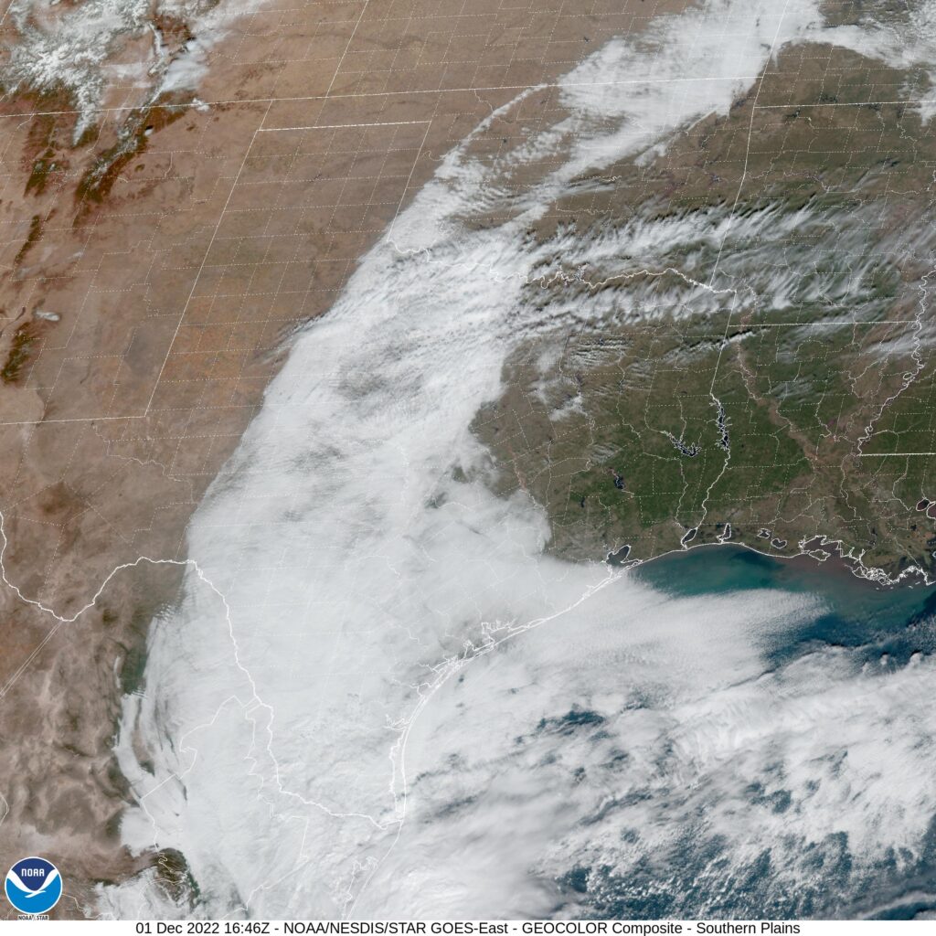
The high on Saturday will probably come at midnight. The WeatherNation hourly forecast doesn’t extend that far out, but they shouldn’t be too far off. Check out the satellite, showing clouds wrapping around high pressure in Texas and Oklahoma.