We have spent a lot of time in the western United States lately, so I find it refreshing to return to the east coast. What kind of weather will we see in an entirely different time one than I’ve become accustomed to?
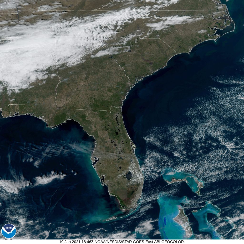
At 155PM, ET, Brunswick was reporting a temperature of 61 degrees with clear skies. Strong winds aloft have produced inland clouds, but they were scoured along the coast, where things are a few degrees cooler. The jet, just to the north of the Brunswick area is helping to facilitate high pressure across the region.
The strong jet will merge with a more northerly jet streak, which will set up an upper level convergence point, where showers and isolated embedded rumbles of thunder can develop. That activity will be to the west if Brunswick through most of the period, however increasing clouds will be likely on Thursday, with rain sneaking into the picture by early Friday morning.
Tomorrow – Mostly sunny, High 68, Low 41
Thursday – Increasing clouds, High 66, Low 43
TWC: Tomorrow – Plentiful Sunshine, High 66, Low 41
Thursday – Mostly cloudy, High 65, Low 42
AW: Tomorrow – Mostly sunny High 67, Low 42
Thursday – Pleasant with intervals of clouds and sun (PM Showers) High 67, Low 44
NWS: Tomorrow – Sunny, High 65, Low 43
Thursday – Partly sunny, High 64, Low 43
WB: Tomorrow – Partly cloudy in the morning, then clearing. High 67, Low 43
Thursday – Partly cloudy, High 64, Low 42
WN: Tomorrow – Mostly sunny, High 65, Low 43
Thursday – Mostly cloudy, High 65, Low 43
FIO: Tomorrow – Clear throughout the day. High 67, Low 42
Thursday – Partly cloudy throughout the day. High 68, Low 42
The website I have used for model guidance has been taken down. This was a long forecast to write, but not terribly difficult! Here is satellite imagery showing off some clouds resulting from the local jet streak.

