Atlantic City, New Jersey

March Madness is fully underway, so Vegas is bustling this weekend! Lets take a look at Atlantic City, the Vegas of the East!

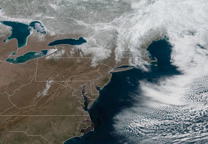
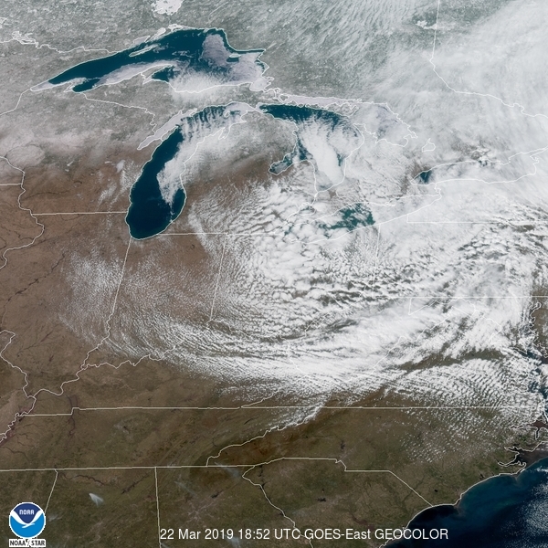
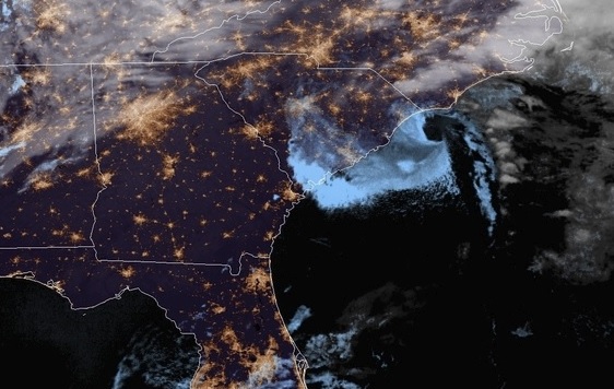
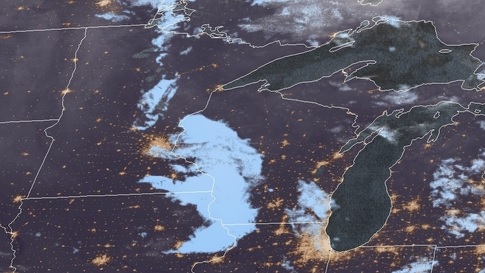
At 154pm EDT, the temperature at Atlantic City, NJ was 49 degrees under fair and breezy conditions. High pressure is sitting over the East Coast currently, making for very pleasant conditions in the Atlantic City area. High pressure will shift out over the Atlantic tomorrow but will continue to keep the area dry, though clouds will increase throughout the afternoon and evening hours. A quick-moving low pressure system will shift out of the Ohio Valley overnight Sunday into Monday, bringing rain to the area by midday Monday. It’s a quick-hitter though, and will clear out by Monday evening, ushering in colder air behind it. It’ll be dry for the rest of the week as high pressure builds back in.

Sunday: Some afternoon clouds. High 57, Low 29.
Monday: Overcast, some shower activity. High 48, Low 35.

TWC: Sunday: Mostly cloudy. High 56, Low 32.
Monday: Cloudy, chances of rain. High 49, Low 43.

AW :Sunday: Times of clouds and sun. High 55, Low 35.
Monday: Mostly cloudy, a little rain. High 52, Low 45.

NWS: Sunday: High 55, Low 32.
Monday: Rain likely. High 47, Low 41.

WB: Sunday: Sunny. High 53, Low 33.
Monday: Rain expected. High 49, Low 44.

WN: Sunday: Mostly sunny. High 55, Low 32.
Monday: Mostly cloudy with light rain likely. High 47, Low 42.

FIO: Sunday: Mostly cloudy and breezy starting in afternoon. High 53, Low 36.
Monday: Overcast throughout the day. High 51, Low 41.

It’s a picture perfect day today! Tomorrow will be more of the same before a system finally makes it way into the area on Monday.

Now you can check on us too!

Up until now, we’ve had to rely on our RSS feed to put together out verifications, but the first post back was for Fayetteville, North Carolina. It had been written before The Incident, so it was actually valid for the days before it even posted, but that’s neither here nor there. The forecast, then was for Monday the 11th and Tuesday the 12th. I’m happy to say the weather in North Carolina was fine, because this post has already required quite a bit of explanation. I’ll just conclude by saying that WeatherNation had the win for the first forecast back from oblivion.
Actuals: Monday, the 11th, High 72, Low 54
Tuesday the 12th, High 64, Low 39

Grade: B-C

Lafayette, Indiana

Yes, it’s tournament time, so there is no better time than to salute my alma mater, Purdue University. They’re a 3 seed in the Big Dance, and nearly everyone will be indoors watching basketball in their home city of West Lafayette, Indiana, but we can give them a forecast anyways, I guess.

At 254PM, ET, Lafayette was reporting clear skies with a temperature of 47 degrees and brisk north winds that belied the high pressure stably in place over the region. Satellite gave a clue to the blustery conditions, as Indiana was clearly in the wash of a strong system moving through the Eastern Seaboard this afternoon.
High pressure will remain in place across the Great Lakes tonight and through the day tomorrow, but the pattern aloft is moderately active, particularly in the Plains. A weak low will be bolstered by a sharp trough with weak flow through it in the Plains will start to approach the Hoosier State. Rain won’t reach Lafayette by the time the weekend ends, however some clouds will likely start to build.
Tomorrow – Mostly sunny, High 52, Low 25
Sunday – Increasing clouds late, other wise warmer, High 54, Low 37

TWC: Tomorrow – Mostly clear. High 51, Low 23
Sunday – Cloudy with occasional showers for the afternoon. High 51, Low 37

AW: Tomorrow – Mostly sunny; chilly High 50, Low 24
Sunday – On-and-off rain and drizzle High 60, Low 35

NWS: Tomorrow – Sunny High 53, Low 28
Sunday – Rain, mainly after 1pm. High 54, Low 40

WB: Tomorrow – Sunny, High 49, Low 26
Sunday – Rain, High 50, Low 37

WN: Tomorrow – Sunny, High 53, Low 25
Sunday – Mostly cloudy with light rain, High 54, Low 40

FIO: Tomorrow – Partly cloudy starting in the evening. High 54, Low 24
Sunday – Rain in the morning and evening. High 56, Low 40

Well, I’m not sure why everyone else has rain getting there so early. Please stay with us as we see just how wrong I can be! Here is satellite, showing that “wash” over Lafayette that I was talking about,

Sunny Sevens

The forecast for Oshkosh was easy enough, it was dry both days with not a lot of expected variance. However, Tuesday warmed up exactly 7 degrees for both the low AND high temps, slightly more than most were expecting. Well, the Weather Channel expected it at least, securing a fairly comfortable victory.

Monday: High 39, Low 19.
Tuesday: High 46, Low 26.
Forecast Grade: A-C

Brighter Days

In our last forecast before “The Incident” we looked at Riverside, California, which was in the midst of a string of uncharacteristically rainy days as we approached the weekend. Ah, but what an allegory for our site, no? The good news was, things were starting to warm up as the next week began even if there was a little bit of light rain in the area. And now, with the website back up and running, we can see brighter days on the horizon as well! That said, the Weather Service had the top forecast for the day. Oh well.
Sunday March 10th, High 59, Low 46
Monday, March 11th, Rain reported, not measured High 64, Low 41

Grade: B-C

Brunswick, Georgia

As much of the nations’ focus will be on brackets tomorrow, let’s look at what’s happening down south in Brunswick!

At 1153pm EDT, the temperature at Brunswick, GA’s McKinnon Airport (SSI) is 52 degrees with a few clouds. An area of low pressure along the SC coastline is lifting northward, and expected to bring plenty of rain to the Mid-Atlantic region over the next day or so. Behind it, high pressure is extending its way from the Northern Plains down to the Gulf Coast and will expand eastward over the next couple of days. This means plenty of sunny skies and warm temps for the Georgia coastline! A beautiful couple of days are in store to… stay inside and watch over 2 dozen basketball games.

Thursday: Sunny. High 71, Low 46.
Friday: Continued clear and sunny. High 70, Low 49.

TWC: Thursday: Mostly sunny. High 73, Low 44.
Friday: Sunny. High 72, Low 47.

AW: Thursday: Mostly sunny. High 72, Low 45.
Friday: Plenty of sunshine. High 71, Low 48.

NWS: Thursday: Sunny. High 70, Low 45.
Friday: Sunny. High 69, Low 48.

WB: Thursday: Sunny. High 71, Low 46.
Friday: Sunny. High 71, Low 49.

WN: Thursday: Sunny. High 70, Low 48.
Friday: Sunny. High 69, Low 47.

FIO: Thursday: Partly cloudy in the evening. High 71, Low 42.
Friday: Clear throughout the day. High 72, Low 48.

The Brunswick area is clear tonight, while an area of low pressure near Myrtle Beach will swirl northward over the Carolinas tomorrow.

Weirton, West Virginia to Oshkosh, Wisconsin

Today we have a 2-day trip from Weirton, WV to Oshkosh, WI, home of the annual EAA Airventure show! While that doesn’t happen until July, let’s take a look at what the next couple days bring over the Midwest as we make our way there!

DAY ONE

High pressure sitting over the OH Valley is keeping the region high and dry today, with mostly sunny skies expected over much of the region. The day starts out pleasant as we head north towards Cleveland then as we hop on I-90 westward, it should be nice as sunny as we make our way through northern OH and northern IN, though some clouds may crop up later in the afternoon. We finish the day in Chicago.

DAY TWO

A weak area of low pressure is pushing its way through IL this morning, and we could be seeing some light snow as it continues its way through the Great Lakes. As we head north from Chicago, the snow activity should be dwindling and be done by the time we cross into Wisconsin. Cloudy skies are expected for the rest of the day northward as we make our way into Oshkosh by the early afternoon.

Oshkosh, Wisconsin

Happy St. Patrick’s Day to you fellow readers! I hope you all enjoyed a fun day of festivities… or just staying in watching the NCAA Selection Show. Either way sounds good to me! As we head into the start of the new workweek, let’s see how the weather pans out for our final week of official Winter! Spring is almost here everybody!!

At 753pm CDT, the temperature at Oshkosh, WI was 33 degrees under fair skies. High pressure is found throughout the Plains and Upper Midwest this evening, though a weak mid-level disturbance is shifting through the area. This won’t really affect the Oshkosh area much, other than blot out the moon tonight. High pressure controls the area through Monday into Tuesday, keeping conditions dry and quiet. An area of low pressure looks to pass off to the south of the region on Tuesday evening, and the region kinda sits between systems as an area of low pressure pushes through Ontario late Tuesday into early Wednesday as well. That just means Oshkosh will stay mostly cloudy over the next couple of days, but dry!

Monday: Mostly cloudy. High 42, Low 24.
Tuesday: Mostly cloudy. High 44, Low 25.

TWC: Monday: Partly cloudy. High 40, Low 19.
Tuesday: Partly cloudy. High 44, Low 25.

AW: Monday: Clouds and breaks of sun. High 41, Low 22.
Tuesday: Partly sunny. High 44, Low 25.

NWS: Monday: Mostly cloudy. High 38, Low 23.
Tuesday: Partly sunny. High 43, Low 23.

WB: Monday: Partly sunny. High 39, Low 23.
Tuesday: Partly sunny. High 42, Low 27.

WN: Monday: Mostly cloudy. High 38, Low 23.
Tuesday: Partly cloudy. High 43, Low 23.

FIO: Monday: Partly cloudy starting in the morning. High 39, Low 22.
Tuesday: Mostly cloudy until afternoon. High 42, Low 27.

A weak disturbance is sliding through MN/WI currently, but it’s not bringing anything in the way of precip, just some low to mid-level clouds.

Fayetteville, North Carolina to Waterloo, Iowa

Well, now we have all types of Victoria-Weather posts ready to roll on the reconstituted site, but our archives are still toast. Oh well, the weather continues on, as will we, on this two day journey from North Carolina to Iowa. It is 1090 miles between the two towns, and though this trip is approximately 2 even days, we’ll go a little bit further on day two. The first day will conclude after 519 miles on the road. all at a pace of 64.9mph. I think the weather is going to be pretty great, so let’s see if we can’t make even better time.

DAY ONE (Monday)
Like I said, it looks like we don’t have a whole lot to be concerned with on the first day on the road. High pressure is taking over the country. Sweeping the nation, really. There may be some haze and what not as we pass through West Virginia, just because of moisture in the valleys, but it will only serve to make things more picturesque. We’ll make it to Beavercreek, just outside of Dayton, Ohio.

DAY TWO (Tuesday)
There is a weak little perturbation expected to roll out of the central Rockies and cruise through the central Plains. It’s not going to be very strong, but it’s miniature stature means it will be fairly unpredictable. It will only reach southern Iowa by the time we finish our day, but there is enough uncertainty that I might just suggest to prepare for a few wet flakes anywhere from the Quad Cities to Waterloo. Slow down in Cedar Rapids, they have cameras.

OLYMPUS DIGITAL CAMERA

We can still verify!

Thanks to our RSS feed, which apparently doesn’t get purged just because the content of the entire website is obliterated, we still know the contents of our post for Ocean City New Jersey, before the big calamity. The good news for us is that the forecast went very well for us, as Victoria-Weather claimed forecast supremacy, even as we fumbled with our own very existence. A quick wave moved through town and lead to a bit of snow, thanks in large part to temperatures that were cooler than expected…. by everyone but Victoria-Weather.
Actuals: Thursday, March 7th, High 38, Low 12
Friday – .07 inches of precipitation, reported as snow, High 41, Low 19

Grade: C- D