As we head into the summer time season, we will think more and more about the weather. If you want to gain a bit of insight, buy the book!
A stormy end to the week, a stormier weekend ahead
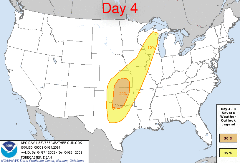
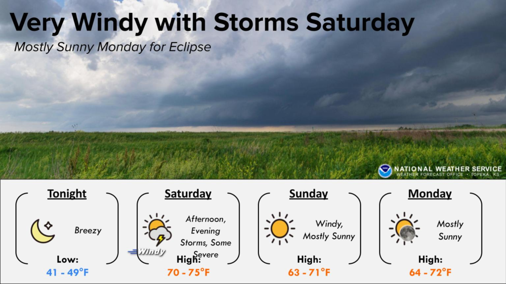
A tag team of systems moving through the country are going to bring quite a bit of severe activity through the weekend. It will be mostly in the Plains, and will start tomorrow with some significant storms possible, especially in the central Plains. The show will really get going over the weekend, though. Saturday looks like the more hectic day, as there is already a 30% outlook on Saturday, which is a long way out to think that there will be strong storms. Watch out in the highlighted areas.
I’m not happy. It’s about 40 degrees and windy, and generally, it’s colder than normal across the middle of the country. Matters were made worse when I spoke with someone in California who was talking about how warm it was today. Jokes on them, because this is the map for the 8-14 day outlook.
Take a breath
We’ve had a pretty noisy stretch over the last couple of days, with severe weather sweeping through the Plains over the last two days, and into the Mid Mississippi Valley today. High pressure is moving to the middle of the country tomorrow, and will stamp out much severe weather from then on, at least through the weekend, and perhaps through the beginning of the following week.
If you live in the center of the country, you were just experiencing some wet and stormy weather over the last couple of days, and through the end of the week, you will see temperatures that are well below normal. Great news, though, as the end of the month, nearly nationwide, is expected to be warmer than normal.
Among the places seeing warmer temperatures on the way is Phoenix. It’s not going to be crazy, but it will be a few degrees shy of 100 next week.

They just got a bunch of snow…
But the Upper Peninsula is under burn advisories because the threat for wild fires in the region is so high. They got one storm this month, but it is still abnormally dry in the region, and with a strong system developing in the Plains and moving towards the Great Lakes, wind is going to pick up as well, meaning that if something does touch off, it could spread rapidly.
We aren’t out of snow season yet!
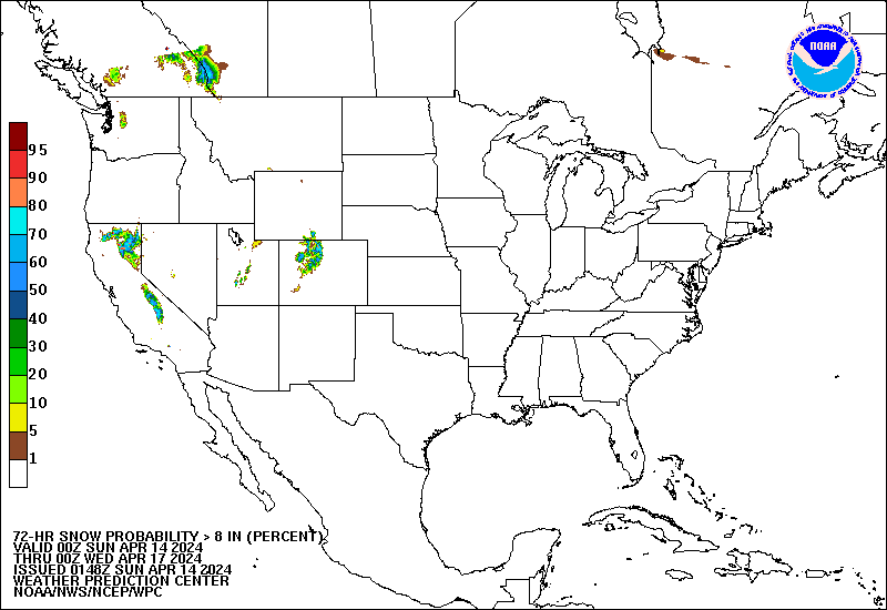
Sure, yes, the forecast snow, in this case showing the chance of 8″ over a three day stretch through Tuesday evening, is confined to the mountains, but it is still snow, and still an ample amount of snow, especially in northern California. That means busy weather, moisture aloft and yes, cold air at some level. This will translate to severe weather when the feature hits the Plains.
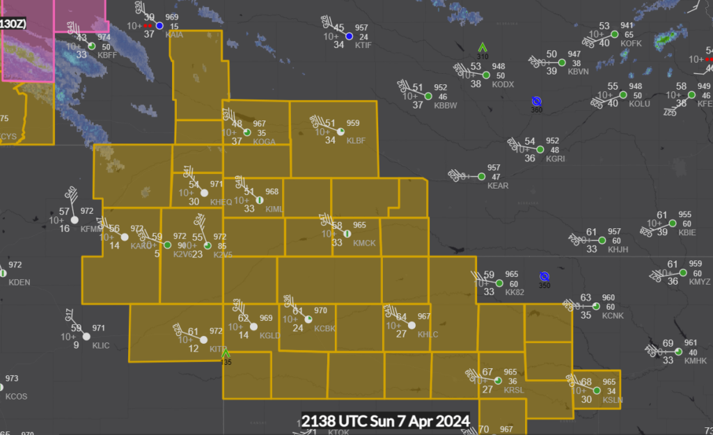
Wind is howling through the plains
Low pressure moving through the Northern Plains today, in addition to bringing the threat for severe weather in the south and clouds to eclipse viewers for a lot of the country, is bringing some very gusty winds to some parched sections of the central US.
The Weather Service in Goodland called for hurricane force winds, and observations throughout the region are right there, with gusts over 50mph in many locales.
Cloudy week ahead
People area going to be looking close at Monday, and like Topeka, there are quite a few people that could see the eclipse that will be clouded over. More on that later this weekend.
It hasn’t been a particularly wet winter
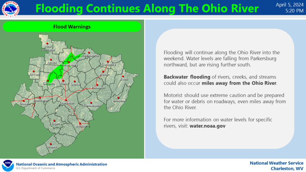
But with the intensity of some recent storms in the mid-Atlantic, there is a still a threat for some flash flooding, particularly in the coarser terrain of the Ohio Valley.