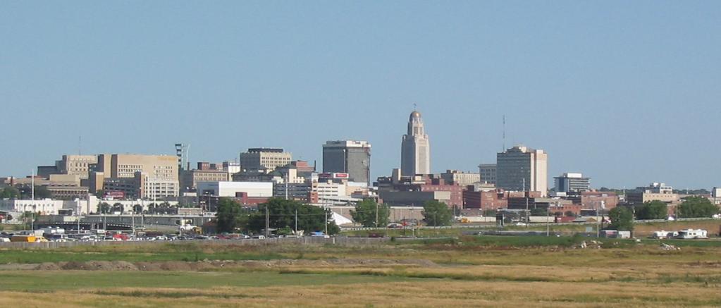
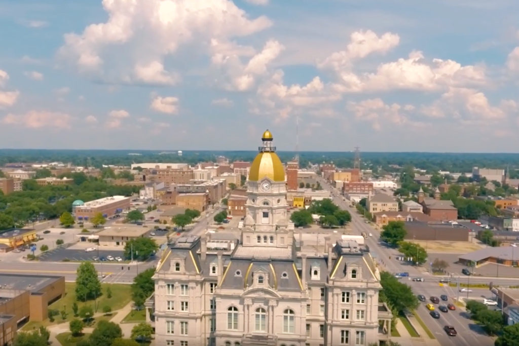
You can’t get much ore “middle of the country” than this, can you? Lincoln and Kansas City are less than 3 1/12 hours apart by car, and 195 miles if you check the odometer. The drive will drill down to a nice, tidy 60mph for a pretty brief Wednesday drive.
Lincoln, Nebraska
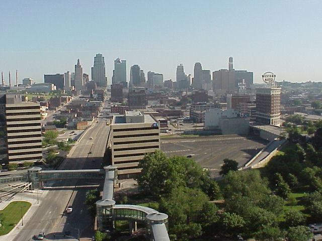
The real show in the country is an area of low pressure moving through the southeastern US, but a slow moving inverted trough will dangle north into Missouri through most of Wednesday morning. Guidance universally hangs on to a batch of snow between Nebraska City, Nebraska and St. Joseph, Missouri, which accounts for a sizeable chunk of our route. The day will start clear and will end on a positive note, but the middle of the drive will be slower than I’m sure we would prefer.
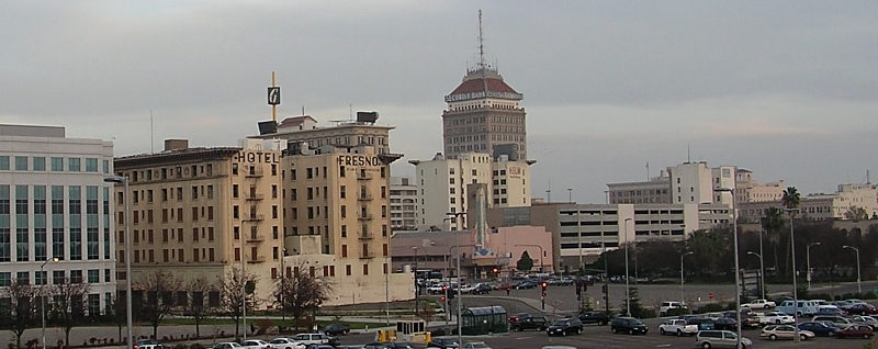
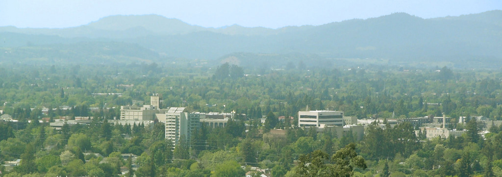
I think the southwestern US is fascinating, geographically. It’s so different than where almost everyone in the country lives, especially when you have to pass from one population hub to another. It will take one long day to cover the 703 miles this drive will take. Our pace will be at 68mph, which is perfect for driving through the desert.
Fresno, California
Almost the entire country is sitting within an upper level trough. One part that isn’t is the west coast, where a sharp ridge is working to keep the Gulf of Alaska low at bay. Skies will be mostly sunny through southern California and western Arizona, but not completely clear. Valley fog will take a while to burn off initially, but should be out of the picture by the time we reach Bakersfield. With northerly jet flow particularly strong in the region, expect Arizona to be seasonably cool, if not a bit chillier, with cloudy skies possible, particularly west of Phoenix. Tucson is going to be a nice place to be this time of year, but may be a bit cooler than expected upon our arrival.
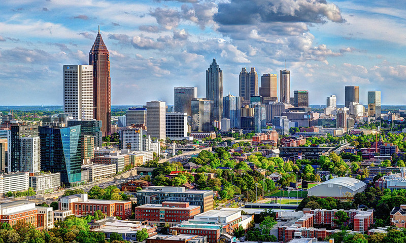
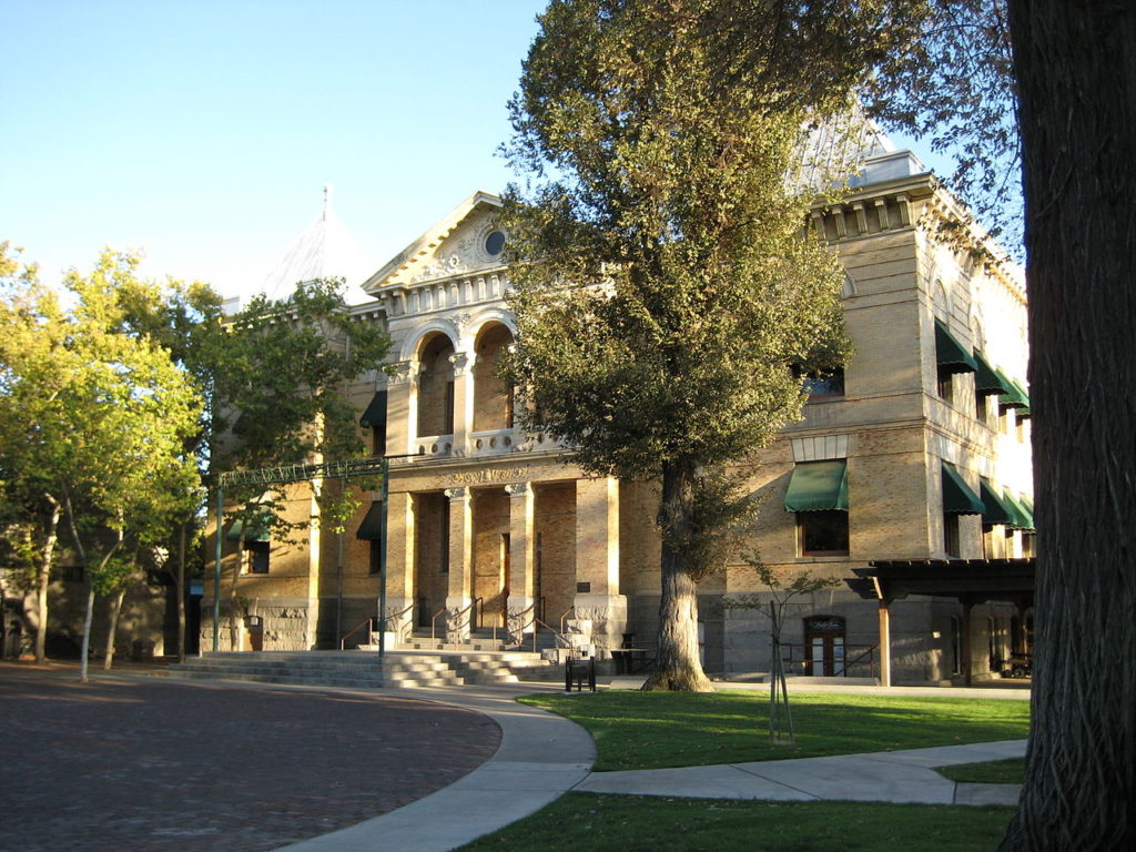
Some drives are pretty easy to navigate, like this one, which will take us entirely via interstate from Georgia to Arizona. It will take us three days to cover the ground, specifically 1,733 miles of ground. The final day will last 10 hours, with the first two covering 533 miles, all at a pace of about 66.5mph. Thanks a lot, traffic.
DAY ONE (Wednesday)
Atlanta, Georgia
The weather in the south is looking brilliant. High pressure is rising from the south, not one of those Arctic domes of high pressure, so it won’t be terribly cold, either. We’ll slice through the south, from Atlanta to Grambling, Louisiana with ease. Just a terrific day for driving.
DAY TWO (Thursday) The drive will continue to be fairly pleasant on Thursday, but it will be warmer than the drive on Friday. This is because of southerly flow caused by an area of low pressure charging from northern Mexico into the southern Rockies. It’s going to be a big deal for a lot of people late this week, but let’s not worry about that now. We will get to Big Springs and the Permian Basin after a long drive through more than half of Texs.
DAY THREE (Friday) It’s going to be a bit different as we get going on Friday. After a night of rain and a few embedded thunderstorms, the last vestiges of precipitation will nearly be past Big Springs as we get going, and we should be out of it soon if it’s not done already. Cold air will be rushing in through eastern New Mexico into Texas. There will be plenty of sunshine, however, so getting out of the car for gas will be a real shock to the system. Snow will be falling in the mountains along the New Mexico-Arizona border, north of our route. We should make it into a surprisingly pleasant Tucson (temperatures, I mean, the people are always nice, I’m sure) late in the afternoon, just in time for dinner.
Hi! Happy Saturday! We are heading into what is usually one of the busiest travel times of the year. This year will obviously be a little bit different, but the weather will still carry on, so let’s drop this three day forecast for the southwestern part of the country. Our drive will cover 1,606 mile at a pace of 67.6mph, which will indicate a pace of 541 miles on those first two days, and a shorter day on Tuesday. Let’s hit the old dusty trail.
DAY ONE (Sunday)
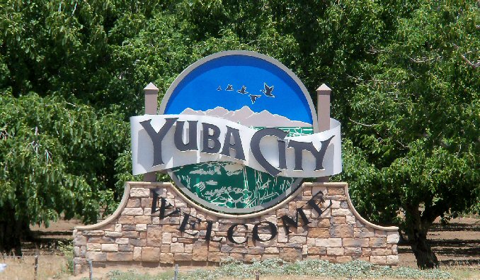
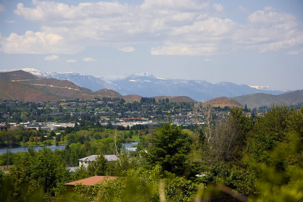
Yuba City, California
There is a bit of a system moving into the west coast this weekend, but in the part of the coast that you would expect it, not the Mojave desert or San Joaquin Valley. In fact, a thermal ridge suggesting pretty warm temperatures will be in place as we drive through the Golden State. We won’t make it out, stopping at the dusty oasis of Ludlow.
DAY TWO (Monday) Low pressure dives in from the Pacific Northwest to the central Rockies on Monday, and by the end of the day, may start causing some issues in the higher terrain. We will drive from Ludlow through Arizona without any concerns, buy in the last couple of moments, some rain and elevation snow may be possible in New Mexico. We will still remain mostly dry, stopping for the night in Mesita, west of Albuquerque.
DAY THREE (Tuesday) The low in the center of the country will deepen fairly quickly as it descends into the Plains. Not a lot of wet weather will move into eastern New Mexico and west Texas, but a healthy rush of cold air will run into the region. There will be a few storms ahead of us, but they will be out of Abilene before we get there. Bundle up, furnaces aren’t as efficient in this part of the world.
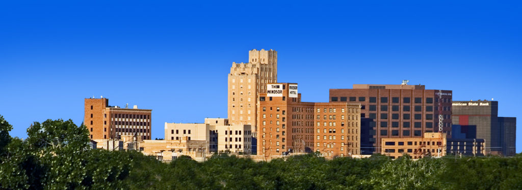
Abilene, Texas
By Atownbman – Own work, CC BY-SA 4.0, https://commons.wikimedia.org/w/index.php?curid=74638447
Sometimes, but not very often, a road trip comes along, and the route that Google comes up with a route that I was not expecting. This is one of those times! Instead of a route down the coast, we’re going to be headed through the mountains of Appalachia for a day and a half. The drive will cover 767 miles at a pace of a mere 61.5mph. Thanks, mountains! We’ll leave ourselves with a half day after driving 492 miles on the first day.
DAY ONE (Thursday)
Buffalo, New York
High pressure will be the name of the game on Thursday, keeping any inclement weather at bay. The drive is one in which we will appreciate the dry weather, as moving through the mountains is difficult enough as it is. There isn’t a single straight road in central Pennsylvania or the entire state of West Virginia, which is fun because of the scenery, but less enjoyable when the weather gets a little sideways. It might start to get a bit breezy by the end of the day, and we’ll pull off for the night in Bluefield, West Virginia, which is on the border with Virginia, right before a long tunnel that goes under the state line.
DAY TWO (Friday) The big difference between Thursday and Friday for our little drive will be the terrain. Friday will be a much flatter day. Weatherwise, the big change will be a reduction in the wind. It will be still and pleasant for the duration of our drive, should you be so inclined to pull off at a random road side Waffle House. Or just wait, and get lunch in Florence, it’s only a 4 1/2 hour drive on Friday.
Let’s do an Election Day forecast, shall we? In the parlance of politics, we’ll head from one blue state to another, but we’ll travel through some red states along the way. It will take 4 days, or about as long as it will take to count all the votes, to cover 2107 miles. The fourth day will be slightly shorter than the first three, with those first three days concluding after 544 miles of driving at around 68mph. Most cars can stream audio now, so maybe avoid the AM radio and just enjoy the open road for this trip.
DAY ONE (Wednesday)
Champaign, Illinois
As the jet has drifted back a bit to the north, things have started to warm up for the middle of the country, and our drive on Wednesday can likely be done with the windows down if the car gets too stuffy. There won’t be much weather to remark on, save for breezes that could gust to 15mph at times. Noting treacherous. We’ll arrive in suburban Tulsa for the night.
DAY TWO (Thursday) Thursday will be similar to Wednesday, though with a diminished chance of a prevailing wind. We will drive through central and western Oklahoma, still cleaning up after a calamitous ice storm, and pass through the Texas Panhandle into New Mexico under sunny skies. We will stop at the San Ignacio exit west of Santa Rosa and completely be out of touch with the rest of civilization.
DAY THREE (Friday) As we approach California, we will do it through the desertified parts of the Southwest. New Mexico and Arizona will remain clear and dry, but a system moving into the West Coast will stir some winds inland. Watch for tumbleweeds in this part of the world. The drive will end at Silver Spring Road between Kingman and Seligman in Arizona.
DAY FOUR (Saturday) As is often the cast, the feature moving into the West Coast will lose a lot of structure as it gets into the mountains, but that doesn’t mean it will be completely obliterated. In fact, well defined fronts will still exist, including a cold front we will drive though in southern California. That’s not to say it will be particularly rainy, if at all, as the frontal passage will be between Barstow and Mojave, right in the heart of the desert. When we descend into the central Valley at Bakersfield, we’ll probably get into some soupy overcast with drizzle. Expect that right on down to Hanford. Strange, right? The only part of the trip with rain will be the part in California.
Hanford, California
By Armona at en.wikipedia, CC BY-SA 3.0, https://commons.wikimedia.org/w/index.php?curid=17978087
It’s not often we spent a road trip on the west coast, but that’s the plan for this journey. It will take a day and a half to get from the North Bay to western Washington. We’ll cover 798 miles at a pace of only 57.3mph, thanks to most of our drive being spent off of the main freeways, as well as through some rebuilding areas after this year’s wildfires. Enjoy the lackadaisical pace.
DAY ONE (Thursday)
Santa Rosa, California
By JLankford – wikitravel, Public Domain, https://commons.wikimedia.org/w/index.php?curid=37654846
While you may not recognize it in northern California, where fires are still burning, particularly northeast of Santa Rosa, and further north in the Mendocino National Forest, but it is a time of rainy change in the Pacific Northwest. Northern California will be all too dry and haze tinged as we travel north along I-5, but north of Klamath Falls on US-97, we will start to see a change. First, some clouds will stream overhead, and then around Crater Lake, the northeast chilly wind will pick up. Models suggest a dry drive tomorrow afternoon, but make no mistake. We’re crossing a cold front in Oregon tomorrow. We will stop in the resort community of Sunriver, south of Bend, at the end of the day.
DAY TWO (Friday) The next round of wet weather to barrel into Washington is coming in the morning on Friday. It will particularly impact Puget Sound and eastern Washington near Spokane, mostly sparing the Yakima Valley. Don’t count on that lasting all day, though. Just because there won’t be as much rain or snow doesn’t mean there won’t be any. Precipitation will mostly be rain from Yakima northward, but some snow may mix in around Ellensburg, and again as we approach Wenatchee.
We will travel from one capital city to the other over the next week or so, headed from the bustling Atlanta to the more serene Olympia over the course of 5 days. The drive will cover 2718 miles at a pace of about 68mph, and with a goal of 544 miles on any given day. I think it’s time we pack our things. Will we see any other capital cities along the way?
DAY ONE (Saturday)
Atlanta, Georgia
For the beginning of our long, cross country drive, all eyes will be to our south, where we will need to monitor Hurricane Delta, which will be expiring in the Mississippi Valley. A dangerous feeder band of showers and storms angling into Delta from the Tennessee Valley. Most of these will be rain storms with little lightning and thunder, but even without lightning or thunder, rogue tornadoes are always a possibility. As Delta erodes and we head north, the rain threat will dissipate, about as we cross the Ohio into Illinois, but it will still be overcast at day’s end. Day’s end will be in Caseyville, a St. Louis suburb.
DAY TWO (Sunday) Low pressure developing in the plains will be robbed of moisture by the remnants of Delta, but the pressure squeeze of remnant hurricane, to ridge, to deepening area of low pressure will make for a very windy day as we head for the Plains. We will come very close to Kansas and Nebraska, but we will stay on the eastern side of the Missouri River before finally dipping across into far southeast South Dakota, and spending the night in North Sioux City.
DAY THREE (Monday) There will be a distinct chill to the air as we spend most of our day in South Dakota. A cold front will pass us in the evening on Sunday with little to no fanfare. The after effects will be notable, as temperatures may struggle to climb above freezing. Still, it will be dry, which is a pleasant bit of news. We will clip Wyoming and make it to the ghost town of Hammond in southeastern Montana to end the day.
DAY FOUR (Tuesday) This drive is looking very familiar. We have recently taken a drive across Montana for another long road trip, and our endpoints before we reached Bellingham, and that we stopped at before we reach Olympia are very similar. This time, we’re going to stop in Missoula after a pretty clear day. The back side of the system we saw in North Sioux City may leave a few whitecaps in western Montana, but it will be dry for our arrival.
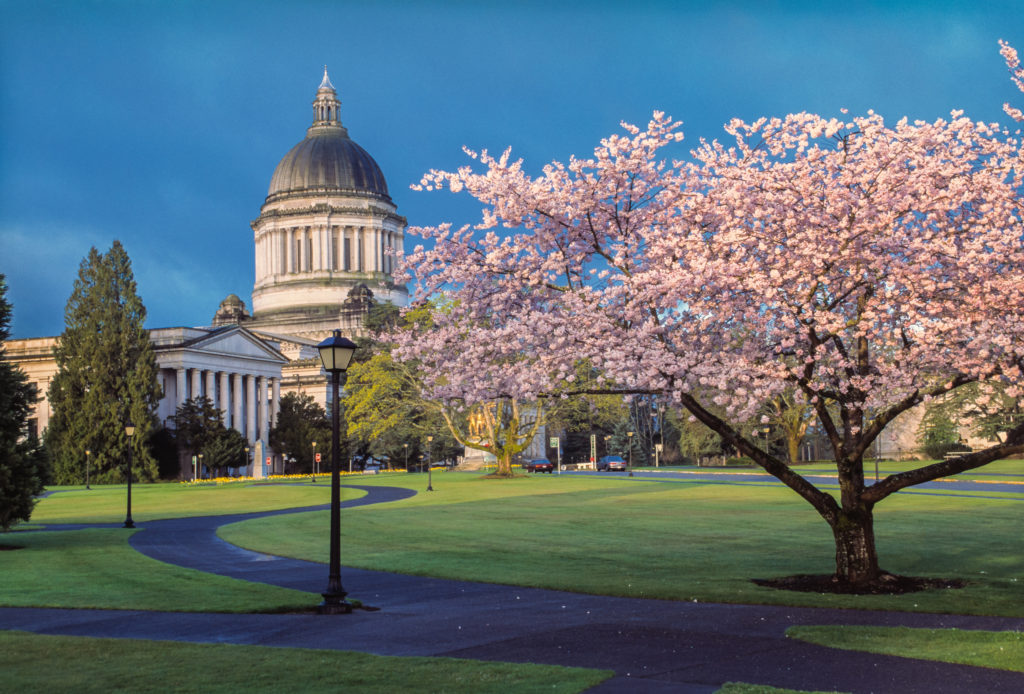
DAY FIVE (Wednesday) A pretty good system will move into the Pacific Northwest from the Gulf of Alaska in the early to middle part of next week. As we get going Wednesday, be sure to drive those mountain curves with caution, as they may be rain slicked, with some snow again possible above our elevation. By the time we reach the Cascade rain shadow in central and Eastern Washington, it will e as though nothing happened. Thanks, geography! When we reach Puget Sound, the Gulf of Alaska storm will have departed, but low clouds, drizzle and fog will remain. It will be a little bit clearer in Olympia, but still a bit dismal. Oh, and to answer the question at the top, despite all this driving will account for but one other capital city.
We’re driving southward today, trying to get to Atlanta before Hurricane Delta finds the coast. We should be able to do it, as our drive will only last a day and cover 505 miles, doing so at a pace of a little over 62mph. Try to limit stops and use hand sanitizer!
Terre Haute, Indiana
Delta hit the Yucatan this morning and is spilling into the Gulf tonight. It pulsed down before it hit Cancun, and will be weakened when it arrives in the Gulf. Still, it’s previous intensity, and further ramping up will entrap nearby atmospheric moisture, and while the eastern US is under high pressure, the sea breezes will be turned off too. The entire drive from Terre Haute to Atlanta will be under mostly clear skies, with seasonable warmth.
It’s autumn, and it ure feels that way east of the Rockies, even if that’s not the case along the west coast. We’ll take a 4 day run to Puget Sound, which will cover 2182 miles. There is a lot of interstate contained on this route, even if we are covering some high terrain, so the pace will be about 68.2 mph, good for 545 miles a day.
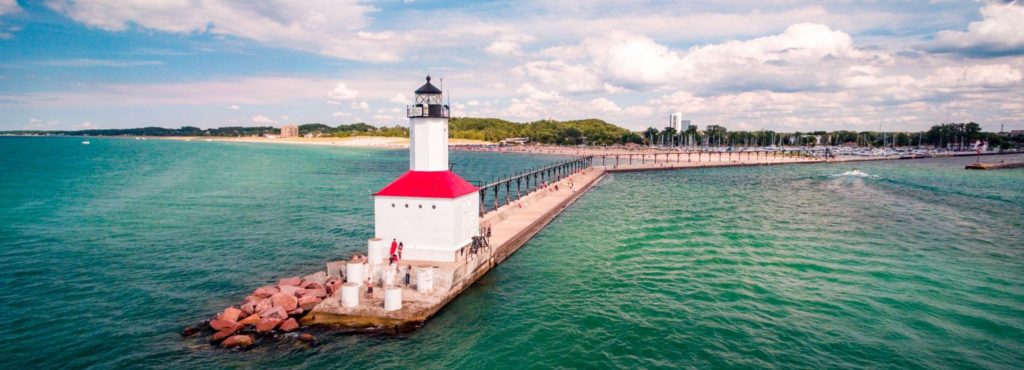
DAY ONE (Thursday)
Michigan City, Indiana
One of the factors in the Upper Midwest being cooler than normal is the presence of deep low pressure over Labrador, which is swinging more cold air and troughing into the area. It will clear up today in Michigan City, but more drizzle and clouds will emerge by tomorrow morning, and will be the situation through most of our Thursday drive. Some drips and drops will spatter our windshield through Chicago, Milwaukee and Madison, and probably won’t truly clear up until after we pass through LaCrosse. We’ll make it to Lakefield, Minnesota before we pull off for the night.
DAY TWO (Friday) High pressure is entrenched west of that deep area of low pressure. There might be a few high streaking clouds over the western Dakotas, but I would hard pressed to believe they will touch the ground. We’ll traverse South Dakota and clip northeastern Wyoming before we stop in Boyes, Montana, a ghost town in the southeastern corner of the state. It’s going to start warming up by the end of the day.
DAY THREE (Saturday) The entirety of our day will be spent in the windswept prairies of eastern Montana, and the peaks of western Montana that will be significantly less windswept, and definitely not as cool as you might hope. We’ll make it to Wye, on the northwest side of Missoula, and call it a night.
DAY FOUR (Sunday) The best news for our Sunday drive is that the threat for wildfires in the Pacific Northwest has significantly lessened. It will be dry and unseasonably warm in the interior west, before it gets a bit more comfortably as we head north from Seattle into Bellingham.
By Nick Kelly / Faithlife Corporation – Faithlife Corporation, CC BY-SA 4.0, https://commons.wikimedia.org/w/index.php?curid=37611512