Trenton is right on the border with Pennsylvania, but you couldn’t ask for a longer drive into the next state over. It will take a whopping 6 1/2 hours to cover the 435 miles across the Keystone state,. The pace will be 65mph, which seems faster than I anticipated. Road trip 2022!
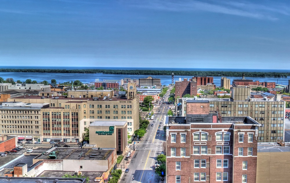
Erie, Pennsylvania
A large juggernaut of low pressure is battering the mid-Atlantic today, getting perilously close to the Trenton area. Pennsylvania itself is under the grips of a chilly high pressure. The nice thing about big areas of organized low pressure is that they move, and do so swiftly more often than not. The low will be headed for Newfoundland by the time we awake tomorrow morning, and Trenton, just like the entirety of Pennsylvania, will be cold but sunny and dry.
How far are you willing to travel for a holiday? It’s going to take 5 days to make this trip, covering 2914 miles. Sounds like a perfect Christmas gift to me, especially when a pace of 69mph can be sustained. The swift pace will allow 555 miles to be the goal on days 1-4, with a long conclusion to the trek.
DAY ONE (Sunday)
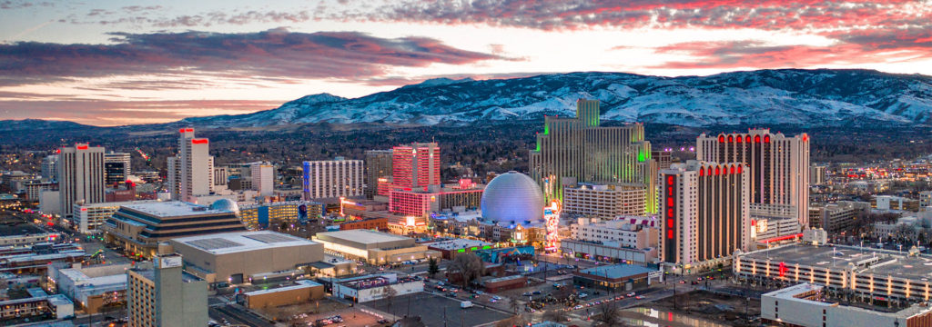
Reno, Nevada
The western US is getting battered by a holiday weather system that is bringing cold weather and snow mostly to the peaks of the Cascades and Sierras, but even to the lower terrain between, at least to a certain level. Seattle and Portland were in line to see some unusual snowfall for Christmas, and white capped peaks are definitely coming to Nevada and Utah. The snow should be done outside of the highest points of northern Nevada, but that won’t necessarily be the case in Utah, where heavy snow could, theoretically, even lead to some road closures. Expect a tougher slog through Utah, especially where the terrain gets a little more hilly east of Salt Lake City We will stop for the day, mercifully, in Wanship, in heart of the Wasatch.
DAY TWO (Monday) The pattern in the western US is just going to be active for the beginning of the week. The low will split in two over the next couple of days, sending the first round of snow and cold air to the Upper Midwest, while leaving quite a bit of moisture in the Pacific Northwest as well. The northern Rockies will be between these two branches of the feature, so while it won’t be stormy, it won’t be great either. Mountain snow with lighter flurries in the valleys will continue through Utah and western Wyoming, but at least the lee side of the Rockies, in Wyoming and western Nebraska will be a bit more favorable, with spots of sun, but mostly cloudy skies. The day will conclude in Big Spring, right at the northeast corner of Colorado, just on the Nebraska side.
DAY THREE (Tuesday) The continued rotation of the low pressure in the west will regenerate again on Tuesday. Expect a generally ok drive through the rest of Nebraska, and the 4 hours that will take, but a cold rain is possible as soon as we hit Nebraska City and the Iowa border. Even more robust precipitation is possible after we make the eastward jaunt at Kansas City, and a cold, steady rain is possible when we stop for the night in Sweet Springs, about an hour east of KC.
DAY FOUR (Wednesday) The rain we see on Tuesday will be the result of a rising warm front, but we won’t really ever be able to get south of the boundary, and our day will begin on a chilly note in Missouri. The lingering boundary will be diffuse and stretched across the mid-Mississippi Valley, an environment rife for redevelopment. Late in the day, a new feature will begin to arise in Mississippi and bring us some cold rain starting around Nashville. Heavier rain will be persistent in the higher terrain of eastern Tennessee throughout the day, so bring an umbrella as we get to our hotel in Manchester, about halfway between Nashville and Chattanooga.
DAY FIVE (Thursday) The front bringing that rain will weaken as it shifts east through the mountains, and at long last, we can expect to be out of any threat for heavy precipitation. Some light showers and overcast will persist from Manchester through the remainder of our time in Tennessee, as well as much of the state of Georgia. We should finally emerge into dry conditions around Tifton, and it will probably even be sunny by the time we alight upon Sebastian.
The holidays are upon us and travel is going to be much more common this year than it was last year. How will it be, going from one place to another tomorrow, especially along the 712 mile stretch between Lynchburg and Grand Rapids. We’re going to cover it all in one day, at a pace of 63.2mph. It is going to be a long drive, so make sure you hit the restroom before we hit the road.
Lynchburg, Virginia
The next system is getting ready to develop in the Ohio Valley, and it’s sure nice to not have to describe it in apocalyptic terms. Still, for a road trip through the region, it’s still going to introduce challenges to our itinerary. The warm front associated with this system will have lifted north of Lynchburg and most of Virginia by the time we set forth on Saturday, but the warm southerly flow will potentially lead to a stray spot of drizzle, and the associated moisture may lead to some fog in the mountains of West Virginia. The reain will begin in earnest after we hit about Athens, Ohio, and will continue across the Buckeye State. It will be overcast when we reach Michigan, but the precipitation will be moving out of the state. Expect some wet flakes to mix in with the rain, maybe as early as Toledo, but the precipitation will wind down around Battle Creek. Given the wind dynamics, chill to the air and the presence of a Great Lake to the west, there could be a fewbands of lake effect snow in western Michigan, of which, one may linger in Grand Rapids for our arrival.
Grand Rapids, Michigan By Rachel Kramer – https://www.flickr.com/photos/rkramer62/3965913452/, CC BY 2.0, https://commons.wikimedia.org/w/index.php?curid=108742650
North Carolina doesn’t get enough respect as a large state. It will take over 5 hours over 367 miles. We will go at a pace of 66.3mph from the mountains to the sea, and see all that North Carolina has to offer.
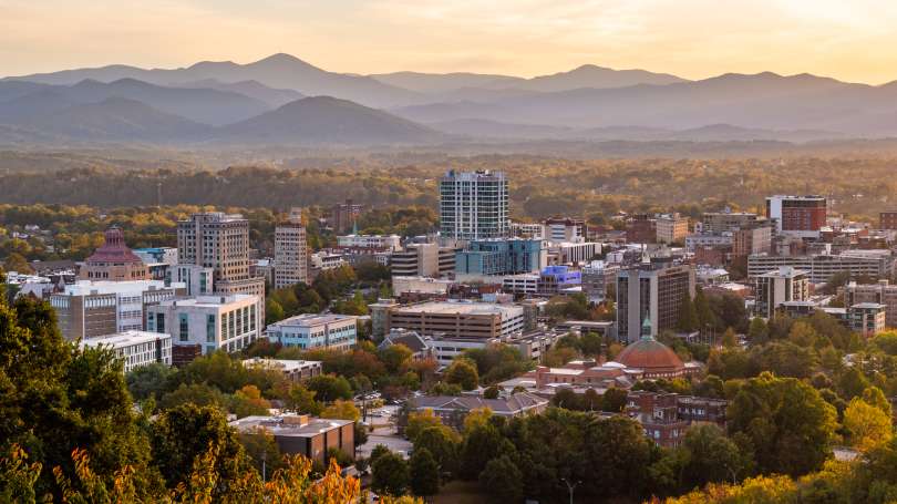
Asheville, North Carolina
North Carolina will be on the southern flank of a ridge that is drifting into the Atlantic, just off shore from New York, and the tail of a cold front will trigger some clouds across North Carolina. If we get out of the mountains early enough, we could see some fog. It should clear up after Hickory, but clouds will remain present across North Carolina for the remainder of our drive, and only more so as we sink further south and towards the coast in Jacksonville. Hope we drove to the right one.
November is coming to a close, and we are reaching the final month of 2021. We’ll welcome the month with a 3 day road tri from the Garden State to the Lone Star State. It’s going to be a 1790 mile journey, at a 66mph pace, or for 530 miles on days one and two, with a long drive through the heart of Texas on Friday.
DAY ONE (Wednesday)
Atlantic City, New Jersey
The train of systems moving through the country right now is following a Canadian track. There are little lobes of low pressure swinging south towards the Great Lakes, bringing rain and snow there, but that moisture doesn’t appear likely to traverse the Poconos, and we will head through the Mid-Atlantic with some high cloud cover, but it won’t be a bad day by any stretch of the imagination. We’ll make it to southwestern Virginia after our fist day, stopping in Chilhowie, which is about half an hour from the Tennessee border.
DAY TWO (Thursday) Low pressure will continue to barrel through Canada but is getting stronger and more well organized, preparing to doink New England just before the weekend. Some moisture will continue to dangle as far south as the high terrain of West Virginia and Virginia, but it should be ok in Chilhowie. As we traverse Tennessee the long way, we will enjoy good driving conditions and a lot of sun. We’ll end up in te northern suburbs of Memphis to end the day.
DAY THREE (Friday) As warm high pressure moves into the southeastern US, we are looking at a positive start to our Friday drive. The ridge moving east will bring about some return flow on the west side of the ridge. This moisture rich flow will probably not result in showers or storms, but that is a possibility that can’t be discounted south of Hillsboro and into San Antonio. Expect some haze and fog overnight when we reach San Anotnio, and the soupy atmosphere I think we all thought we left behind.
It’s time to start thinking about holiday travel, and this weekend is about as good a weekend to do it, especially if you are trying to get some where to spend Thanksgiving week with some family. It will take a day and a half to get from Brunswick to Terre Haute, covering 778 miles. We will hit some pretty large cities on the way, but at least it will be over a weekend. Even so, the pace of our drive will be a sluggish 63.5mph, which means that first day will only be through after 508 miles.
DAY ONE (Saturday)
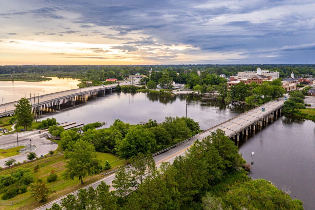
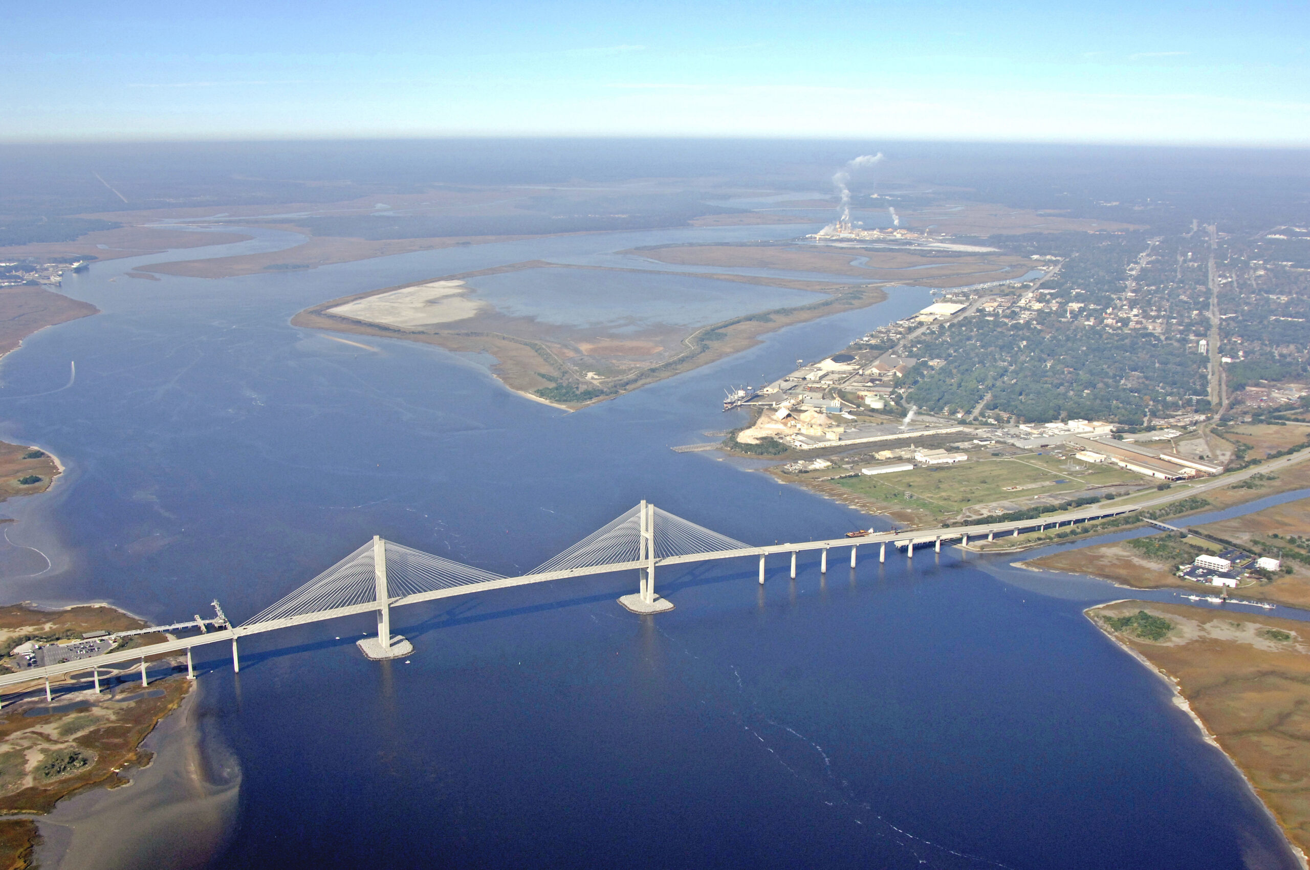
Brunswick, Georgia
A nice cool seaside day in Georgia, and we have decided to leave and go north? That’s not my first instinct. It will be a very good day for a drive, though, and we will enjoy tranquil high pressure. We might need to crack a window with the sun shinning on us just to let in a bit of cool air. Clouds might start building in a bit towards the end of the day as a cold front starts to develop in the Great Lakes. Our drive will end in the south suburbs of Nashville, in La Vergne.
DAY TWO (Sunday) That boundary will start to fill in overnight from Saturday to Sunday morning, and will be heaviest as we travel through Kentucky, but even then, it won’t be terribly heavy. There will be a bit of lingering rain in southern Indiana, but it will be on its way out of town, and dry skies are a reasonable expectation north of Vincennes. Terre Haute my be a bit gloomy on arrival, but it will start looking better pretty shortly thereafter. Well, it will look good from inside somewhere with a fireplace.
Tonight, we take a trip through what should be some nice weather. It’s a two day trek from Sherman to Roanoke, and will cover 1080 miles. That means a pace of 67.8 mph, and that will ultimately mean about 543 miles on the first day, which is a nice even split of the trip into two days.
DAY ONE (Sunday)
Sherman, Texas
High pressure is in charge east of the Mississippi, and an emerging low in the Plains is helping direct some southerly flow to the region. Our drive will be in the sun, in warmer air than the region has seen for a couple of days. We’re going to make it through Arkansas and into Tennessee. Parkers Crossing, Tennessee will be the destination. The town is just northeast of Jackson.
DAY TWO (Monday) That high pressure is just going to hang on in the eastern US. Even the drive through the Smokey Mountains and astride of the Appalachians will be devoid of the fog and haze that can be persistent in that area. Roanoke will be nice for the autumn.
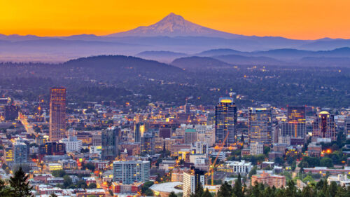
Two cities that are slightly inland, but have been pummeled by extremely heavy rain in the last week. They seem similar, but are separated by 2884 miles. We will take 5 days to cover all this ground, including a really long day at the end, moving at a pace of 67mph, and we will cover about 536.5 miles a day for the first 4 days of the week. If there is anything nasty coming this week, we will sure see it on this trip.
DAY ONE (Thursday)
Portland, Oregon
The next wave of wet weather moving into the Pacific Northwest will really arrive on shore overnight tonight, though rain and some mountain snow has continued to fall from Portland to the Cascades. The wind and precipitation will be heavier through the morning as far east as Biggs Junction than it has been today, but then, it will cut off. The system will be angled towards the north, and should leave the rest of our route on Thursday unmolested. We’ll stop in Wendell, Idaho which is northwest of Twin Falls, for the night.
DAY TWO (Friday) A ridge is setting up over the Rockies for late in the week, and that coincides pretty sweetly with our trek through the region. Idaho, Utah and Wyoming will be dry on Friday, with seasonable warmth and sunshine. We’ll make it to Arlington, Wyoming, northwest of Laramie on Friday.
DAY THREE (Saturday) The low pressure feature that was arriving on shore as we attempted to leave Portland is going to ride over the ridge as we head east. It will feature a mostly inactive cold front diving into the northern High Plains on Saturday as we cross the Nebraska prairies. We will make it to Lincoln, where we will stop for the night, amid increasing breezes and temperatures ready to cool down. Now, my alma mater, the Purdue Boilermakers are playing in Lincoln on Saturday, but I swear this is just a coincidence.
DAY FOUR (Sunday) A cold front is going to be moving at about our pace through Iowa and northern Illinois, but this is probably a good thing. It looks like it will be dry throughout the drive, but will instead just give us a nice little tailwind. Sure, it will feel chilly when we stop for gas, but that gas will come with better mileage! Of course, the stop and go of the Chicago area will slow us down, and we will make it to Hobart, Indiana, just across the border, leaving one final, albeit lengthy day to wrap this bad boy up.
DAY FIVE (Monday) That crisp breeze will be our companion, only helped, surely, but the Great Lakes to our north. The Appalachians in Pennsylvania will bring respite from the wind, and ultimately the cold, as the East Coast looks to mostly avoid the worst of the cold air brought by the area of low pressure quickly marching towards Hudson Bay. Trenton will be experiencing some partly cloudy skies with southerly breezes when we arrive, a far cry from what they saw last weekend
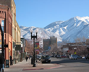
Every once in a while, I find myself surprised by the map, and today is one of those times. Ogden is nearly due west of Springfield, and will take a long two days to get to. The mileage is 1,304, and we will take care of 542 of those miles at about 67.7mph on Monday, with the real work coming on Tuesday. If you consider road tripping to be work, of course.
DAY ONE (Monday)
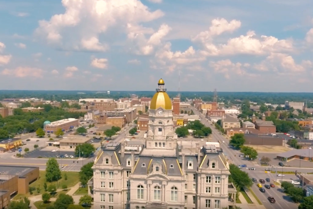
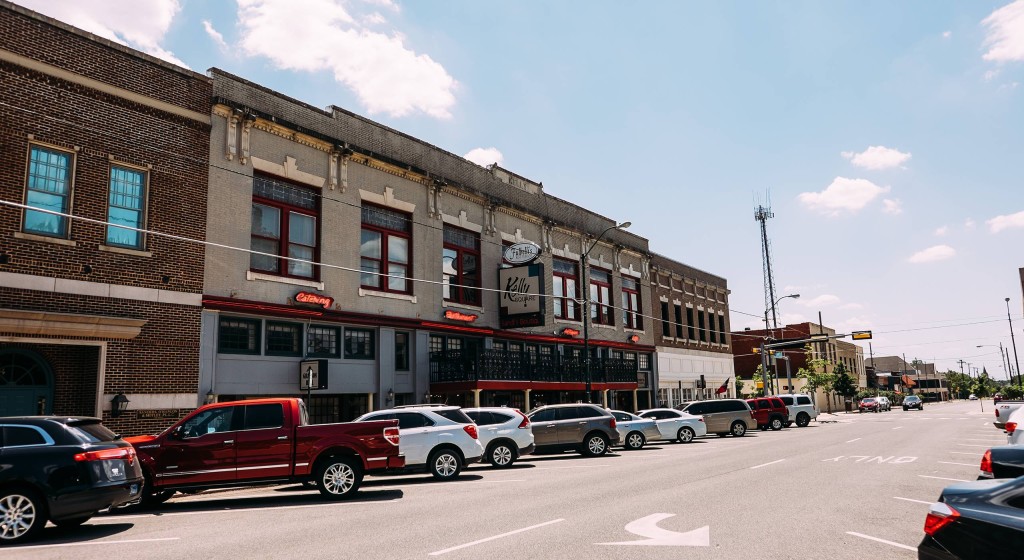
Springfield, Illinois
Did someone say “road trip weather”? No? That’s not something a normal person says? Well, in that case, I will say it. It’s good road trip weather in the middle of the country, and that will continue tomorrow, with high pressure and temperatures that aren’t too hot, aren’t too cold. We’ll navigate through Missouri and into Nebraska, making it past Lincoln to Shelton for our one overnight of the trip.
DAY TWO (Tuesday) It’s always nice when Day Two is a Tuesday, because it’s significantly less confusing. OK, maybe only for my simple brain. The rest of the drive through Nebraska is going to be serene, but a short waved trough moving through the Rockies will make things significantly more interesting. Rain in the low elevation and snow at higher spots will be seen from Cheyenne westward. We’ll start to emerge from the wet and snow from Rock Springs on westward, and sunshine will return by the time we hit Ogden. Or at least, it would if we arrived when the sun was still up.
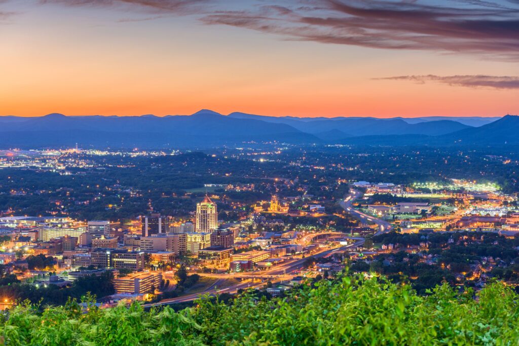
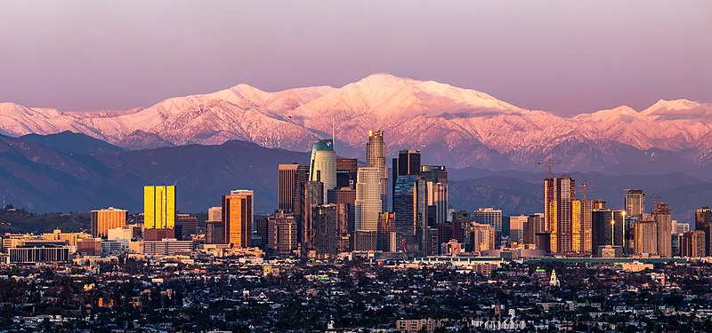
We are destined for a three day trek across the western US for our forecast today. This route includes forays along roads that we don’t often see, especially in Wyoming and South Dakota, so that is kind of fun. Also, the idea of an Angelino in South Dakota makes me chuckle. The mileage between the two towns is 1677 miles, and our travels along several highways with 80mph speed limits will allow for a pace of nearly 70mph overall, and 559 miles of ground covered every day. Pretty sweet for a long trip.
DAY ONE (Tuesday)
Los Angeles, California
I’m not sure there is an actual location where you can take a picture of downtown Los Angeles with Mount Baldy looming in the background like this, but it’s what most pictures of downtown LA look like, so there must be something. The drive through California into the Lake Havasu area, where we will really start to turn to the north. A massive storm system is moving into the middle of the country and will bring more severe weather to the Plains, but also, significantly, will bring some snow to the Wasatch as we drive just to the east of them on I-15. We’ll stop in Holden, Utah, watching the peaks whiten overnight. Kind of like this picture of Mount Baldy.
DAY TWO (Wednesday) The strong storm will barrel its way out of our route by the time we get moving on Wednesday, but bear in mind that this will be the first winter storm of the season, so even though we are on the interstates, the roads in the passes may still be a little slick. Nothing fresh will be falling through northern Utah or across the vast expanse of Wyoming that we will cover. We will end the day in the paper town of Savageton, which is about 2/3 of the way from Casper to Gillette.
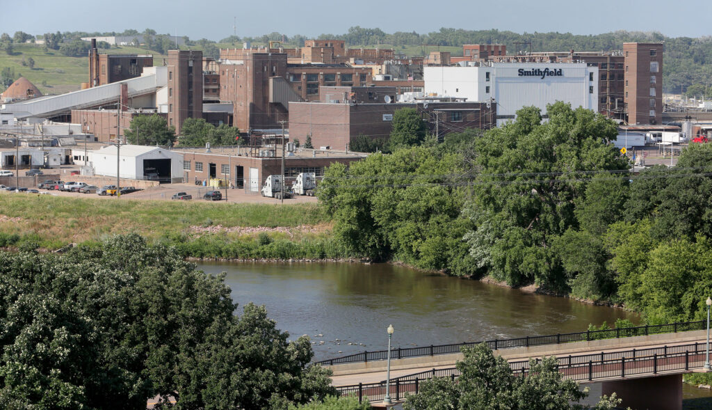
DAY THREE (Thursday) Moving through the Black Hills should be a bit easier than the Rockies and Wasatch were. They are lower, and probably won’t see as much snow, especially at the level I-90 passes through the region. Then, after Rapid City, South Dakota will feature boundless fields of pastureland, and a heck of a lot of sunshine and, most importantly, a speed limit of 80mph.