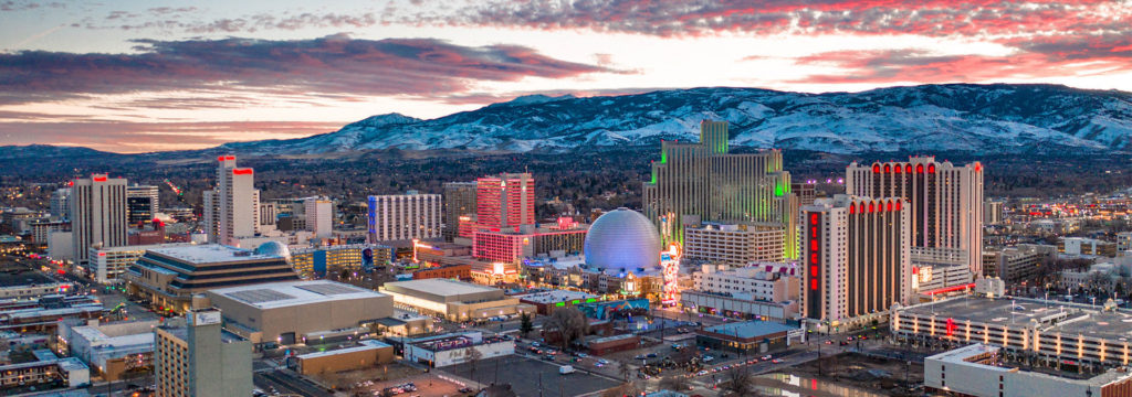
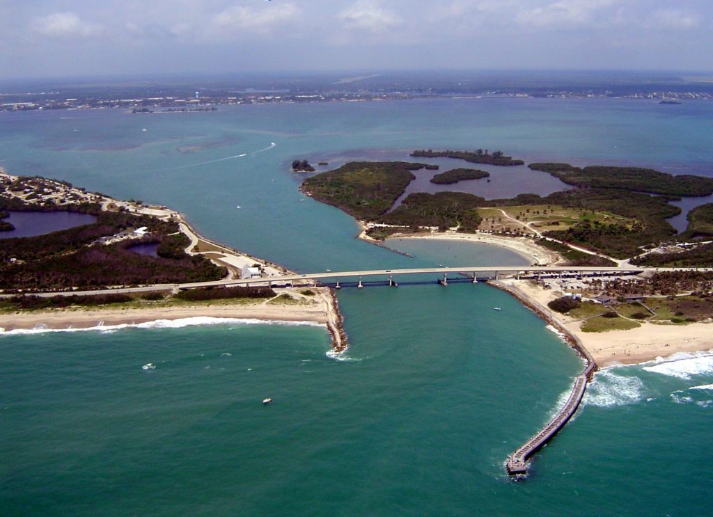
How far are you willing to travel for a holiday? It’s going to take 5 days to make this trip, covering 2914 miles. Sounds like a perfect Christmas gift to me, especially when a pace of 69mph can be sustained. The swift pace will allow 555 miles to be the goal on days 1-4, with a long conclusion to the trek.
DAY ONE (Sunday)

The western US is getting battered by a holiday weather system that is bringing cold weather and snow mostly to the peaks of the Cascades and Sierras, but even to the lower terrain between, at least to a certain level. Seattle and Portland were in line to see some unusual snowfall for Christmas, and white capped peaks are definitely coming to Nevada and Utah. The snow should be done outside of the highest points of northern Nevada, but that won’t necessarily be the case in Utah, where heavy snow could, theoretically, even lead to some road closures. Expect a tougher slog through Utah, especially where the terrain gets a little more hilly east of Salt Lake City We will stop for the day, mercifully, in Wanship, in heart of the Wasatch.
DAY TWO (Monday)
The pattern in the western US is just going to be active for the beginning of the week. The low will split in two over the next couple of days, sending the first round of snow and cold air to the Upper Midwest, while leaving quite a bit of moisture in the Pacific Northwest as well. The northern Rockies will be between these two branches of the feature, so while it won’t be stormy, it won’t be great either. Mountain snow with lighter flurries in the valleys will continue through Utah and western Wyoming, but at least the lee side of the Rockies, in Wyoming and western Nebraska will be a bit more favorable, with spots of sun, but mostly cloudy skies. The day will conclude in Big Spring, right at the northeast corner of Colorado, just on the Nebraska side.
DAY THREE (Tuesday)
The continued rotation of the low pressure in the west will regenerate again on Tuesday. Expect a generally ok drive through the rest of Nebraska, and the 4 hours that will take, but a cold rain is possible as soon as we hit Nebraska City and the Iowa border. Even more robust precipitation is possible after we make the eastward jaunt at Kansas City, and a cold, steady rain is possible when we stop for the night in Sweet Springs, about an hour east of KC.
DAY FOUR (Wednesday)
The rain we see on Tuesday will be the result of a rising warm front, but we won’t really ever be able to get south of the boundary, and our day will begin on a chilly note in Missouri. The lingering boundary will be diffuse and stretched across the mid-Mississippi Valley, an environment rife for redevelopment. Late in the day, a new feature will begin to arise in Mississippi and bring us some cold rain starting around Nashville. Heavier rain will be persistent in the higher terrain of eastern Tennessee throughout the day, so bring an umbrella as we get to our hotel in Manchester, about halfway between Nashville and Chattanooga.
DAY FIVE (Thursday)
The front bringing that rain will weaken as it shifts east through the mountains, and at long last, we can expect to be out of any threat for heavy precipitation. Some light showers and overcast will persist from Manchester through the remainder of our time in Tennessee, as well as much of the state of Georgia. We should finally emerge into dry conditions around Tifton, and it will probably even be sunny by the time we alight upon Sebastian.

