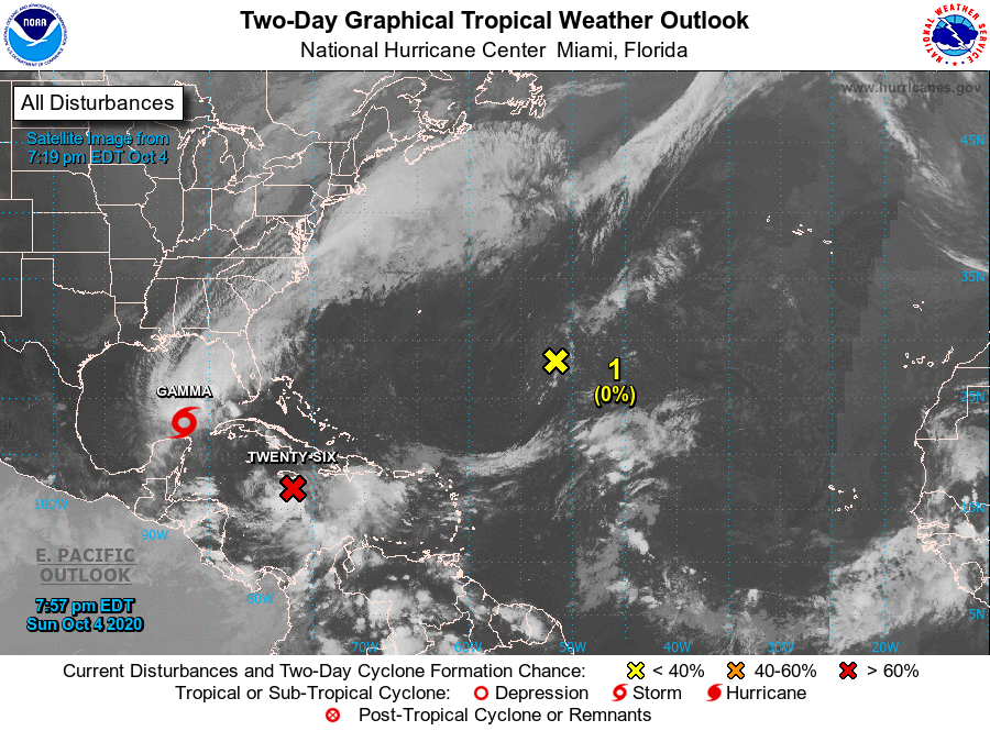
Two days, two road trips. This one will be another three day trip, covering 1,654 miles at a pace of 66mph. We’ll collect 529 miles on the first two days, and drive 9 hours to finish off the trip. With a system bubbling up in the southern US, this could be a bit of an interesting foray on the open road.
DAY ONE (Thursday)

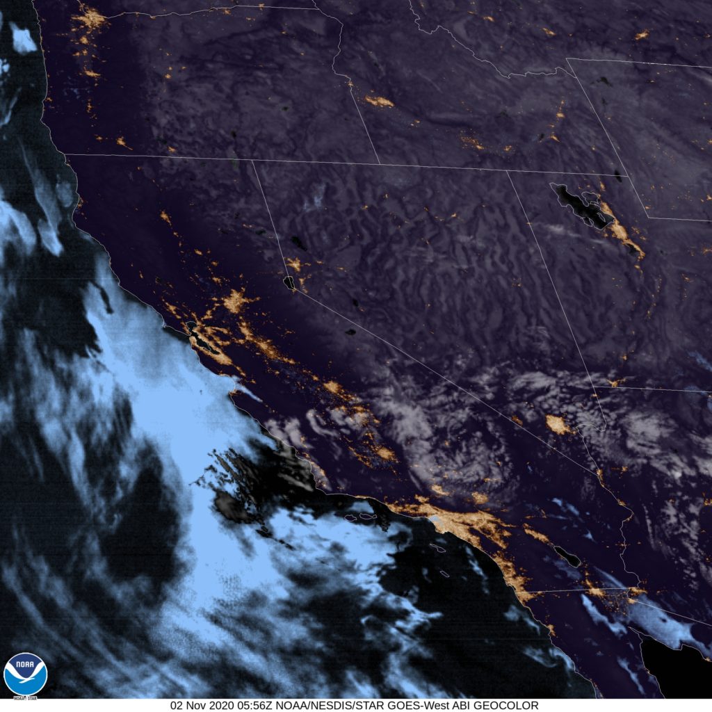
It’s certainly not something we would expect, but there could be torrential rain in Tucson as we get underway on Thursday morning. Low pressure is rising out of northwestern Mexico into the desert Southwest, and will bring Tucson some torrential rain. The feature will lose it’s identity and a bit of it’s available precipitation as it drives into the Rockies, which will mean lighter rain as we pass into New Mexico. That lighter precipitation will continue to be possible, however, until Corona, but we will be dry through Santa Rosa, our day one destination. Unfortunately clouds will obscure the southern high Plains sunset.
DAY TWO (Friday)
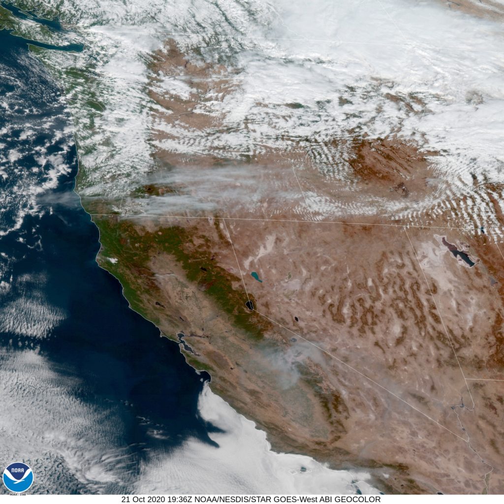
The low will shift into the High Plains and intensify overnight Thursday into Friday, but the cold front will be well to our east by the time we get moving in the morning. It will be fairly windy and unusually cool from Santa Rosa through eastern New Mexico, the Texas Panhandle and west Texas. We will be moving quickly enough that we may catch up to the back end of the system as we approach Tulsa, our destination for Friday night.
DAY THREE (Saturday)
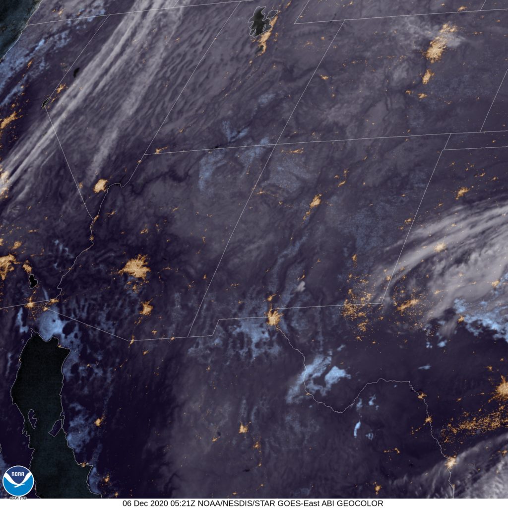
Unfortunately, our system is going to be moving to the north, predominantly, instead of to the east, which makes it easier to catch. There is a decent chance that the first contact will be with snow showers in central Missouri, from Springfield onward. It will ultimately transition from snow over to rain in southern Illinois and continue as such into Owensboro. Make no mistake, we will be mostly within the storm’s dry slot, which means light precipitation, or perhaps none at all, throughout this route, but the possibility is going to be ever present.