It’s summer in North Dakota, which means that it will probably be surprising to many how hot it actually gets up there. No matter the temperature, it’s always windy. Always, always.
At 953AM, CT, Grand Forks was reporting a temperature of 67 degrees and fair skies. Winds were howling out of the west at 20kt, with gusts to 31kt. Low pressure moving into Hudson Bay was accelerating winds across the flatlands of North Dakota, but there should be some respite as the system presses northeast towards northern Quebec.
High pressure will build across the area, providing a blissfully calm day on Friday to end the week. A sharp trough over the Pacific Northwest will accelerate some lee troughing in the northern High Plains, and some ridge riding cloud will pass overhead with a warm front early on Saturday. Heat will build as low pressure spreads into Saskatchewan and Manitoba, and accelerates southerly flow through the Plains.
Tomorrow – Sunny, High 85, Low 52
Saturday – Morning clouds, then hot and humid High 92, Low 60
TWC: Tomorrow – Mainly sunny. High 85, Low 54
Saturday – Partly cloudy skies with gusty winds. High 91, low 63
AW: Tomorrow – Times of clouds and sun High 84, Low 54
Saturday – Partly sunny, windy and hot High 90, Low 62
NWS: Tomorrow – Sunny, High 83, Low 55
Saturday – Mostly sunny and hot, High 90, Low 61
WB: Tomorrow – Sunny, High 84, Low 55
Saturday – Mostly sunny. Windy. High 91, Low 64
WN: Tomorrow – Sunny, High 83, Low 55
Saturday – Mostly sunny, High 90, Low 59
FIO: Tomorrow – Clear throughout the day. High 80, Low 58
Saturday – Windy overnight and in the evening. High 86, Low 60
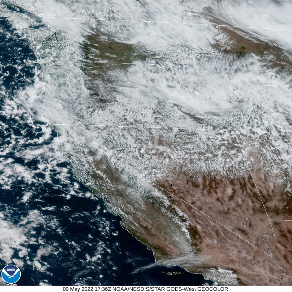
I’m definitely going warmer. The heat will continue to build, and a run at triple digits is possible for Father’s Day. The trends are going that way, and I am getting ahead of the trend. Satellite shows a wisp of clouds on the back side of the low headed through Canada, and it is windy at the surface. Always windy.