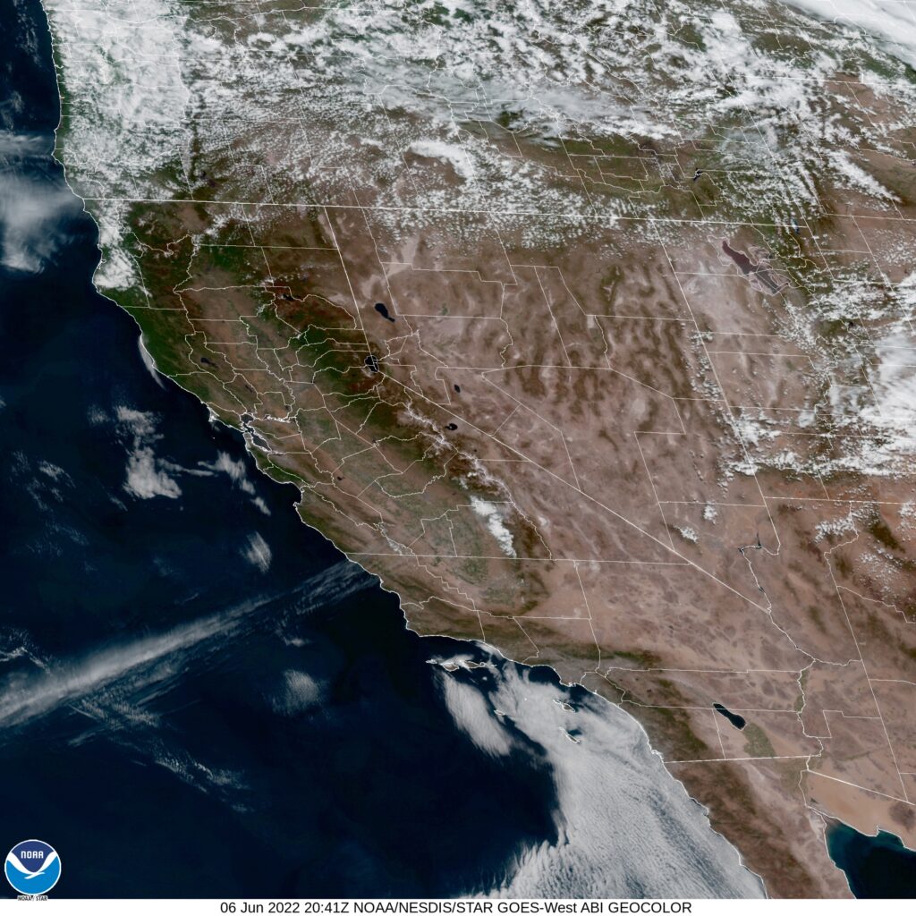
It’s below normal right now in the Upper Midwest, but also, surprisingly, the weather is cooler than average in the northwest, as far south as the Napa Valley. Finally, North Dakota and the North Bay have something in common.
At 1254PM, PT, Napa was reporting a temperature of 78 degrees with clear skies. Temperatures were warm despite a fresh breeze of the San Pablo Bay. After a stretch of time with a broad trough positioned over the northwestern US, a short waved ridge is pressing inland over the west coast, helping to establish the sunny skies.
The next wave is already positioning in the Gulf of Alaska, with a mature area of low pressure marching towards the coast. The associated occluded and cold front will impact British Columbia and the American Pacific Northwest late on Tuesday, with some mid to high overcast streaking across Napa later in the day on Wednesday, but precipitation is unlikely.
Tomorrow – Mostly sunny, High 83, Low 50
Wednesday – increasing clouds, High 84, Low 55
TWC: Tomorrow – Partly cloudy skies. High 85, Low 51
Wednesday – Partly cloudy. High 87, Low 56
AW: Tomorrow – Mostly sunny and warm High 84, Low 51
Wednesday – Mostly sunny and warm High 86, Low 56
NWS: Tomorrow – Areas of fog before 8am. Otherwise, sunny High 85, Low 51
Wednesday – Mostly sunny, High 86, low 55
WB: Tomorrow – Sunny, High 81, Low 51
Wednesday – Partly cloudy, High 83, Low 56
WN: Tomorrow – Mostly sunny, High 85, Low 51
Wednesday – Mostly sunny, High 86, Low 55
FIO: Tomorrow – Partly cloudy throughout the day. High 81, Low 52
Wednesday – Mostly cloudy throughout the day. High 84, Low 59
A beautiful day for northern California, and the middle of the week seems delightful as well.


Comment (1)