It’s been delightful here in Minnesota today, and I can’t imagine it’s been much different over in the Fox Valley.
At 1053PM, CT, Fond du Lac was reporting a temperature of 41 degrees with clear skies. Temperatures are going to continue cooling off this evening thanks to the clear skies and dew points down in the 30s. A thermal ridge is parked over the middle of the country, so the cool down will be quickly forgotten after sunrise tomorrow.
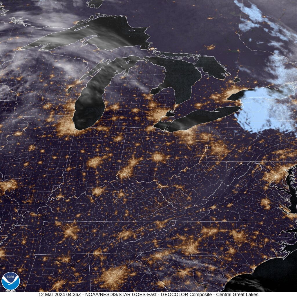
A very week wave is going to ripple through the region tomorrow. It will take temperatures away from the record highs seen today, and provide a few clouds, but expect a dry day in Fond du Lac. A strong trough is bringing more mountain snow to the northern Rockies will continue to progress and develop rapidly into a strong area of low pressure in the southern High Plains. A warm front will become evident in the mid-Mississippi Valley, but it will not be an issue in Fond du Lac on Wednesday. Moisture coming into the region will lead to some additional clouds for Fond du Lac, but the rain will wait until Thursday.
Tomorrow – Partly cloudy, High 66, Low 44
Wednesday – Mostly cloudy and cooler, High 60, Low 38
TWC: Tomorrow – Partly cloudy skies. High 69, Low 43
Wednesday – Partly cloudy skies High 62, Low 37
AW: Tomorrow – Breezy and warm; sun and areas of high clouds in the morning, then mostly cloudy in the afternoon High 68, Low 45
Wednesday – Sun through high clouds and remaining warm High 62, Low 39
NWS: Tomorrow – Mostly sunny, High 69, Low 45
Wednesday – Partly sunny, High 60, Low 39
WB: Tomorrow – Partly sunny in the evening then clearing, High 65, Low 48
Wednesday – Partly sunny, High 57, Low 43
WN: Tomorrow – Partly cloudy, High 69, Low 46
Wednesday – Partly cloudy, High 59, Low 40
CLI: Tomorrow – Partly cloudy, High 66, Low 45
Wednesday – Mostly cloudy, High 61, Low 37
It’s going to be busy aloft, but not much is actually going to go on in the city of Fond du Lac. Not until Thursday, anyway.