We looked at the Yakima Valley last week, and I warned that the forecast might be challenging. That was indeed what came to pass. The weather wasn’t really remarkable in Yakima, but it was several degrees warmer in the afternoons than most forecasts, but substantially cooler in the mornings. One outlet let their wings, and their forecast temperature deltas spread, and Accuweather took the top spot on a forecast several outlets would be happy to forget. Actuals: Monday – High 66, Low 28 Tuesday – High 72, Low 33
We’re taking another trip to Washington, this time to the south central part of the state. This could be a tough forecast, thanks to the position between some mountain ranges, an at the western reaches of our observation network. How will this go?
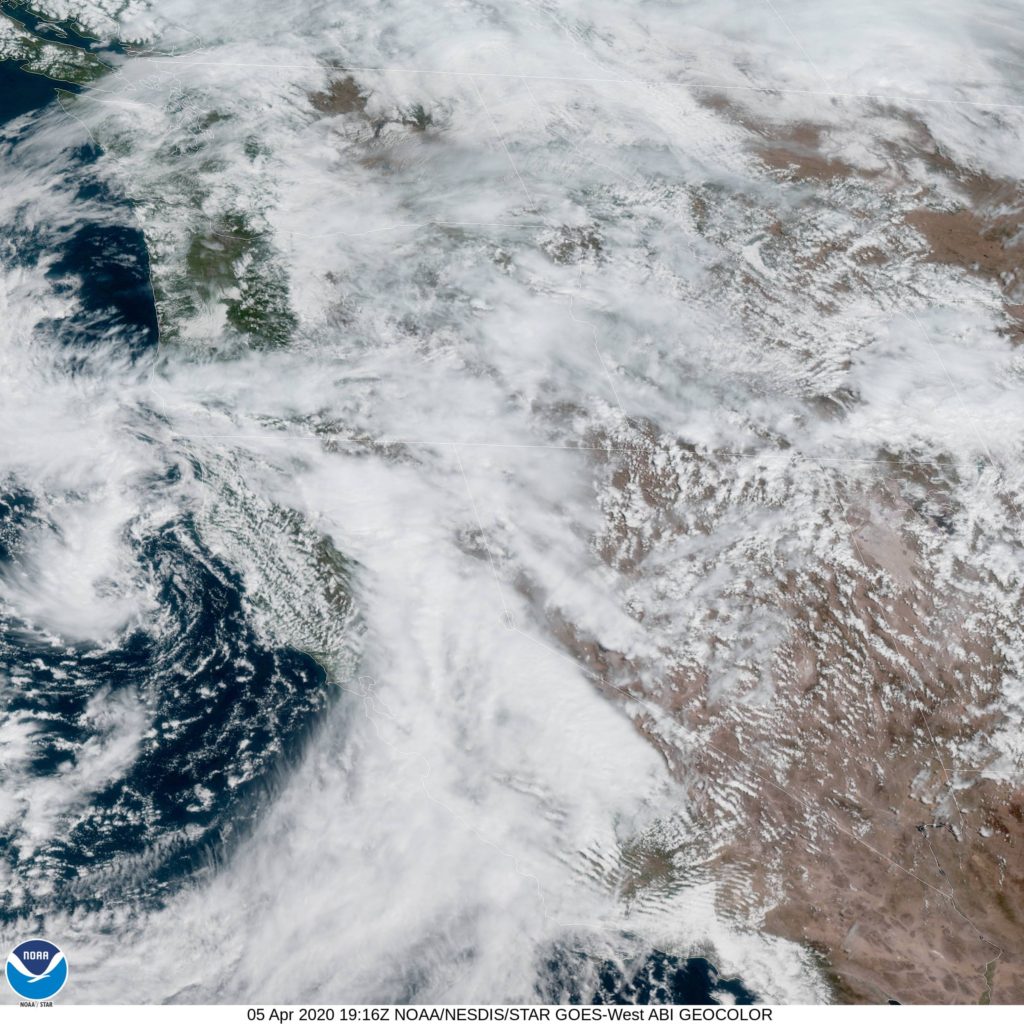
AT 1153AM, PT, Yakima was reporting a temperature of 53 degrees with overcast skies. A shark trough was stretching through the western US, with an area of low pressure centered off the coast of Eureka, California, but everywhere through the Pacific Northwest and the northern Rockies was congested with clouds and the threat of mountain snow and rain. The center of low pressure at the surface will sink further south, while the upper level trough will attempt to pivot east. High pressure will nose into western Washington and attempt to cut the low off over the central California Coast. This will bring some warmer, sunnier conditions to Washington, however there is certainly a chance for some lingering fog in the Yakima Valley, particularly in the mornings. Tomorrow – Mostly sunny by afternoon, some fog in the morning, High 64, Low 35 Tuesday – Sunny, High 66, Low 38