Tucson, Arizona to Muskegon, Michigan

It’s time for everyone to head for home, all of you spring breakers and snow birds. Our early April drive will take us from beautiful Tucson up to the eastern shores of Lake Michigan, where I promise lake effect season is almost done. It is a 3 1/2 day trek, covering 1904 miles of the heartland. The three full days will involve 544 miles of travel at 68mph. Nice round numbers. Let’s hope the whole day trip is as accommodating.

DAY ONE (Sunday)
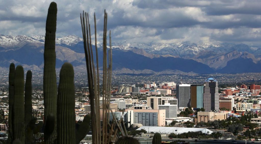
Tucson, Arizona

A little clipper of a system is organizing in the Montana foothills right now, and it will move towards the Upper Midwest through the day on Sunday. Something to keep an eye on for later in the day and later in the week. It will likely induce some cross wind from the south, especially later in the day as a cold front organizes through central Colorado. Fortunately, we will be enchanted by New Mexico without any other weather concerns on Sunday. We will make it to the ghost town of Cuervo, just past our entrance to I-40 east of Santa Rosa, New Mexico.

DAY TWO (Monday)
As the tail of the cold front to our north gets mixed up with hotter, more humid air in Texas and Oklahoma, it will start to churn up a bit more activity. We will have a dry time through the Texas Panhandle, but nearly the entire stretch of our drive in Oklahoma will be under the threat of showers and storms. Fortunately, we will be on the cold side of the feature by the time activity really gets going, but it will still be wet, with greater coverage northeast from Oklahoma City. We will get to Claremore, just past Tulsa, before we call it a night.

DAY THREE (Tuesday)
Tuesday’s drive will be a master class in timing. Precipitation will blossom in the southern Mississippi Valley, shifting towards the southern Atlantic states. We will probably catch a bit of the back end of the system as we pass through Illinois, but by and large, we will avoid any significant weather on Tuesday. We dodged that system! Meanwhile, yet another feature is emerging in the northern Plains, bigger and stronger than the last one. This is going to start sliding southeast, robbed of some moisture by the preceding storm, but gnarly enough in its own way. This next storm will arrive in Odell, Illinois, a couple of hours after we do. Bullets dodged.

DAY FOUR (Wednesday)
After a pretty fortuitous drive on Tuesday, things are going to be a little bit different on Wednesday. The next system is going to have a well put together cold front, running essentially along a line from Muskegon to Odell, We will be in windy rain through just about the entirety of the drive, including some spots of sleet as cold air tries to press in. Pretty gross. Don’t let it spoil your opinion of Muskegon, though.
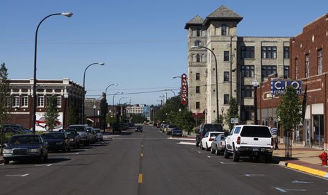
Muskegon, Michigan

An ineffective cold front

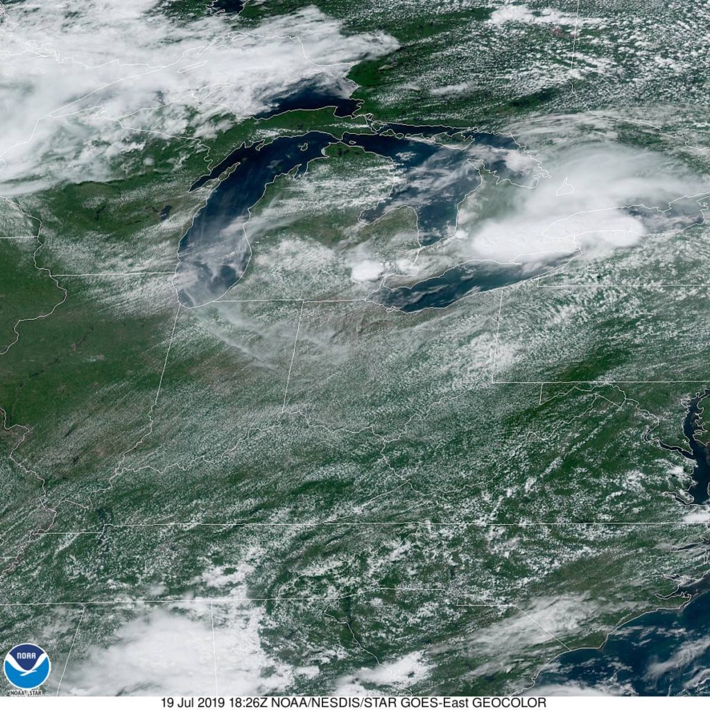
Back in mid – July (that’s how far behind I am on these verifications) we looked at the western Michigan town of Muskegon, which was to receive a healthy wallop from a mass of storms moving through Minnesota and Wisconsin. Those storms proved stronger than expected in the Upper Midwest, and generally lasted longer in Michigan than anyone thought. What really surprised all outlets was how little the high temperature was impacted on Sunday the 21st. After a high of 89 on the 20th, it only dipped to 87 for a high on Sunday. Not really a terrific forecast, but not really terrific weather, either.
Actuals: Saturday – .51 inches of rain in thunderstorms, High 89, Low 71
Sunday – Thunderstorms reported, not measured, High 87, Low 69

Grade: C-D

Muskegon, Michigan

Today seems to be an interesting day in the weather department, particularly in western Michigan. How interesting? Why don’t we find out?

At 1155AM, ET, despite a stiff breeze off of Lake Michigan, Muskegon was reporting 87 degrees, clear skies and a dew point of 70. While the heat was oppressive nearly everywhere, the instability was mounting. A area of low pressure in the lee of the Rockies extended a weak stationary boundary towards Hudson Bay, and it appears that this is the perfect vehicle for a severe outbreak tonight.
Tomorrow, the stationary front will begin to sink southward as a slow moving cold front, which will bring in more comfortable and more stable air, but before that on Saturday, another similar looking squall line will role through Michigan with a little more intensity than the one that will arrive late tonight. Heavy rain and thunderstorms will be possible, particularly tomorrow afternoon, with lighter rain in the evening. Clouds will linger through the morning on Sunday, however they will clear to the south, and much more moderate air will take over western Michigan to conclude the weekend.
Tomorrow – Clouds, with rain and thunderstorms especially in the afternoon and evening, High 86, Low 72
Sunday – Early clouds then clearing and pleasant, High 80, low 65

TWC: Tomorrow – Partly cloudy in the morning followed by scattered thunderstorms in the afternoon. Storms may contain strong gusty winds. High 86, Low 73
Sunday – Overcast with rain showers at times. High 82, Low 68

AW: Tomorrow – Variable cloudiness, warm, very humid; an afternoon shower or thunderstorm around High 86, Low 75
Sunday – A passing morning shower; otherwise, mostly cloudy High 82, Low 70

NWS: Tomorrow – A slight chance of showers and thunderstorms before 8am, then a chance of showers and thunderstorms after 2pm. Partly sunny, High 87, Low 76
Sunday – Showers and thunderstorms likely, mainly before 8am. Partly sunny, High 82, Low 69

WB: Tomorrow – Partly sunny with a 40% chance of showers and thunderstorms. High 84, low 73
Sunday – Partly sunny until midday, then becoming mostly sunny. A 40 percent chance on showers and thunderstorms, High 82, Low 69

WN: Tomorrow – Partly cloudy with scattered storms, High 87, Low 77
Sunday – Partly cloudy with thunderstorms likely, High 82, Low 69

FIO: Tomorrow – Possible light rain tomorrow evening. High 88, Low 73
Sunday – Mostly cloudy throughout the day. High 84, Low 69

This is the rare non-standard day in the heat of summer. Tonight, the temperature will only get down to about 80 degrees, which is uncomfortable.