Back before Halloween, we issued a forecast in Cincinnati, in which we were ahead of a fairly active time. A failing cold front was on its way through town, and it did bring a bit of light rain. At the end of the period, we anticipated a warm front climbing to the northeast back into the Cincinnati area, which didn’t come to pass before the period was over. Well, don’t look now, but a warm front is rising through the Ohio Valley again. At least back in November, the clouds and rain will more sparse, allowing for a greater drop in temperature, which won’t be the same this time around. This lead to Victoria-Weather, forecasting cooler, winning the day. Actuals: October 27th, .02 inches of rain, High 75, Low 62 October 28th, .-03 inches of rain, High 68, Low 54
We’re off on a fairly short trip, that somehow still covers 4 states. It will take 6 1/2 days to cover 439 miles, which equates to a pace of about 67.4mph, which is impressive, given the mountainous terrain we will cover through much of our journey. Thanks, freeways.
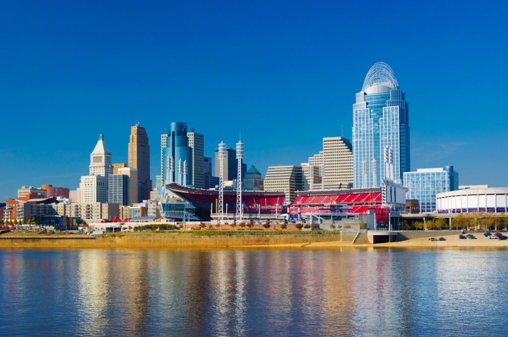
Cincinnati, Ohio
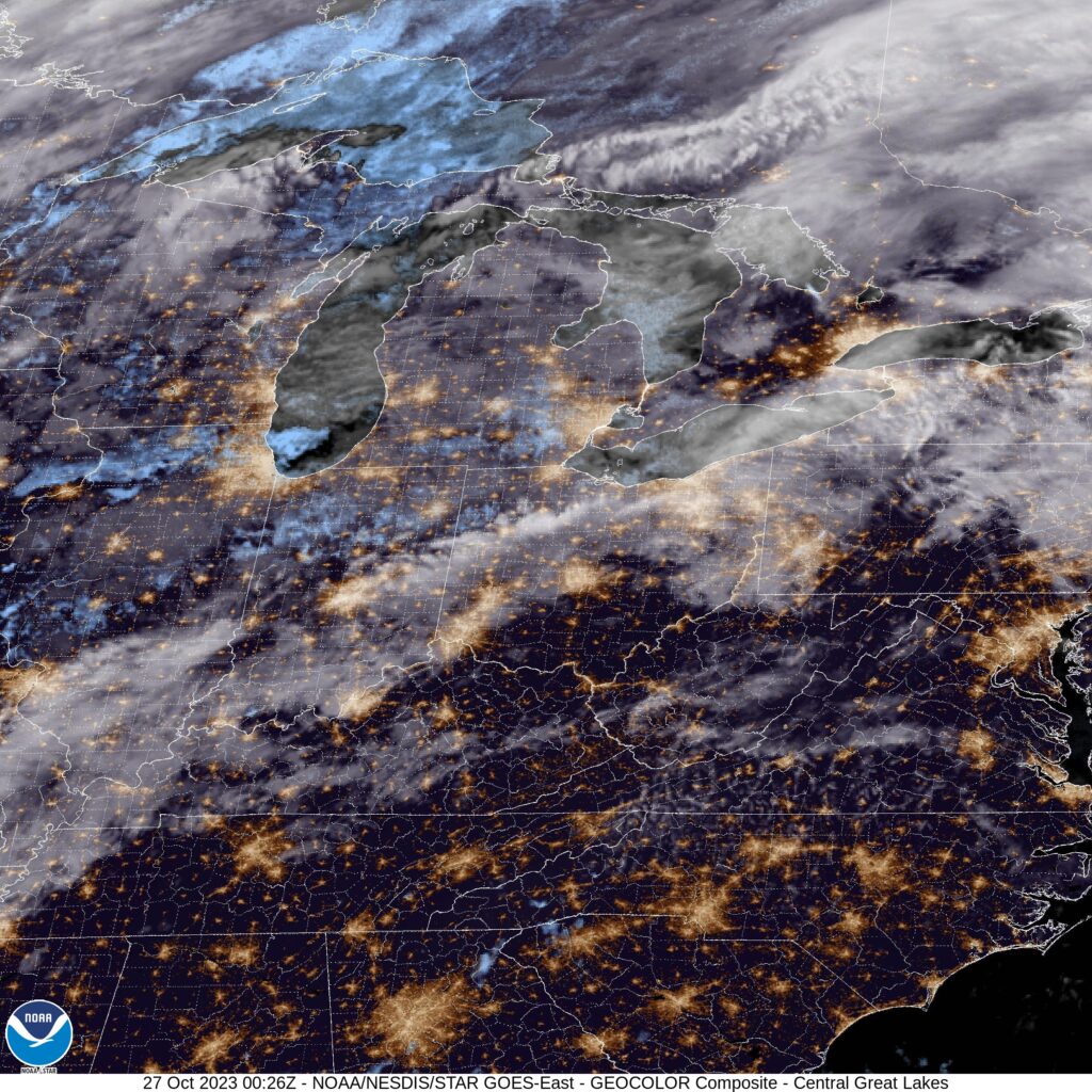
There is a mess of instability in the north Atlantic, and it is extending a few memories into the eastern US. By tomorrow morning, we will see a trough in the Great Lakes and a band on the Atlantic side of the Appalachians, from Virginia to South Carolina. The trough in the Great Lakes is going to leave us alone, though it will be breezy for most of our drive, until about Knoxville. A tropical wave near the Bahamas is going to leak to the north and inflame that rain in the coastal plains. It often seems like it is raining between Knoxville and Asheville. Lean more towards the Asheville side this time, and anticipate a shower or two in Hickory when we role in.
There are a lot of quirks about Cincinnati. First, the airport is actually across the Ohio River in Kentucky. Next, the radar terminal for the area is actually to the north, in Wilmington, because the WFO there services Columbus, Dayton and Springfield, as well. It begs the question: what exactly IS Cincinnati?
At 352PM, ET, Cincinnati was reporting a temperature of 74 degrees with mostly cloudy skies. The clouds were patchy or much of the tri-state region, with clearer skies at other nearby sites. Low pressure over the northern Plains is entangled with some tropical energy from the south and drenching the western Great Lakes. The two bits of energy are also attached to parallel jet streaks, which are boosting the energy but hampering the mobility of the feature. The leading band of rain is diminishing over Indiana and northwest Ohio tonight, and will wear itself out through the morning hours tomorrow. The trailing cold front will be dragged into the region later in the day Friday, arriving in the predawn on Saturday. By this point, low pressure will be developing over the central Rockies, with a warm front rising towards the Ohio Valley by the late evening, bringing a chance for steadier rain to the region after a cooler day beforehand. Tomorrow – Cloudy with scattered showers, High 74, Low 63 Saturday – Overcast with light rain early, cooler, and more rain late, High 67, Low 57 (Non standard)
TWC: Tomorrow – Showers in the morning, then cloudy in the afternoon. High 76, Low 64 Saturday – Cloudy. Periods of rain early. High 66, Low 60
AW: Tomorrow – Breezy and warm with periods of clouds and sunshine High 76, Low 64 Saturday – Variably cloudy with a thunderstorm High 68, Low 59
NWS: Tomorrow – A chance of rain before 2pm, then a chance of rain and thunderstorms between 2pm and 5pm, then a chance of rain after 5pm. Partly sunny High 77, Low 65 Saturday – A chance of rain. Cloudy High 67, Low 60
WB: Mostly cloudy with a chance of rain, High 72, Low 66 Saturday – Cloudy with a chance of rain, High 65, Low 59
WN: Tomorrow – Partly cloudy with scattered showers and isolated thunderstorms, High 77, Low 65 Saturday – Mostly cloudy with isolated storms, High 67, Low 60
CLI: Tomorrow – Rain showers, High 76, Low 61 Saturday – Thunderstorm, High 66, Low 58
It will be particularly interesting to keep an eye on the temperature trendline for Saturday. Post cold front to overcast to warm front, it could go a lot of different directions.