We’re going to head to northern Utah, away from the real weather of the week, because that simply how we operate here at Victoria-Weather. Constantly missing the point.
At 851 PM, MT, Logan was reporting light snow and a temperature of 22 degrees. As the well advertised storm system begins to emerge in the southern High Plains, some of the same energy is bringing snow to the Wasatch Range. The sharp, strong trough that is the culprit behind the weather this week will transition out of the inter-mountain west by midday tomorrow, leaving the potential for some more flurries to continue into tomorrow morning in Logan.
The rest of the day and early Monday look as though they will continue to be tranquil thorough the early part of the day on Tuesday as well. The next upper level wave in the jet structure is rippling through the Gulf of Alaska, preparing to bring more wet weather to the Pacific Northwest. The storm system will press moisture beyond the Cascades and as far as northern Utah by Tuesday evening. It’s going to remain chilly in Logan, so precipitation is going to fall as snow, and will predominantly fall in higher terrain.
Tomorrow – A lingering flurry early, then increasingly sunny, High 25, Low 13
Tuesday – Sunny early, clouds and snow return late, High 27, Low 16
TWC: Tomorrow – Intervals of clouds and sunshine. High 25, Low 10
Tuesday – Cloudy with snow showers becoming a steady accumulating snow later on. High 30, Low 14
AW: Tomorrow – Mostly cloudy High 22, Low 9
Tuesday – Cloudy with a little snow High 30, Low 12
NWS: Tomorrow – Mostly sunny, High 24, Low 9
Tuesday – Snow, mainly after 11am. High 29, Low 11
WB: Tomorrow – Partly cloudy in the morning, then becoming sunny (Early snow) High 17, Low 13
Tuesday – Breezy. Snow likely in the morning then snow in the afternoon. High 23, Low 13
WN: Tomorrow – Partly cloudy, High 24, Low 13
Tuesday – Mostly cloudy with light snow, High 30, Low 11
CLI: Tomorrow – Mostly cloudy, High 24, Low 12
Tuesday – Blowing snow, High 32, Low 15
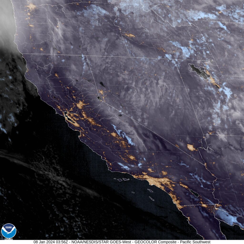
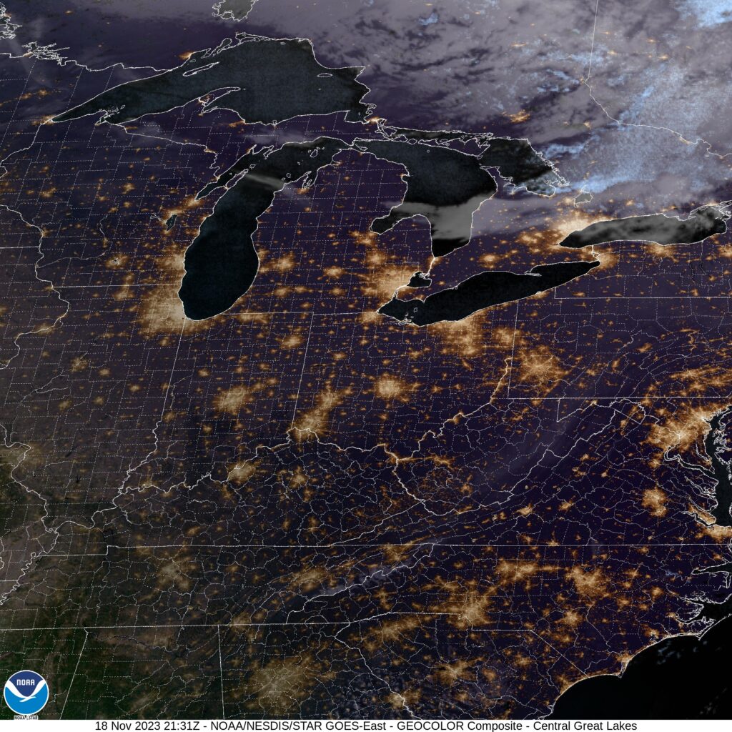
I’ll tell you what, these mountain forecasts sure get a lot of different forecasts. It doesn’t help that Utah doesn’t ever have an over head satellite image. You can see most of the snow is over the mountains.