It’s not often we embrace March Madness because you can watch indoors, where the air conditioning is.
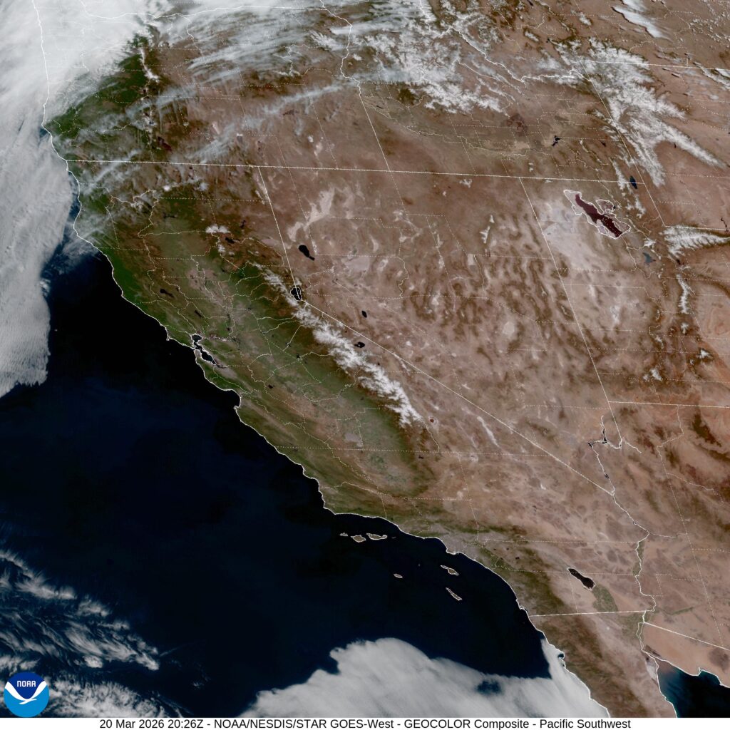
At 153PM, PT, Madera was reporting a temperature of 83 degrees with clear skies. The heat dome remains in place over the West, though the peak of the heat was inland, the ridge aloft isn’t going to be moving for the foreseeable future.
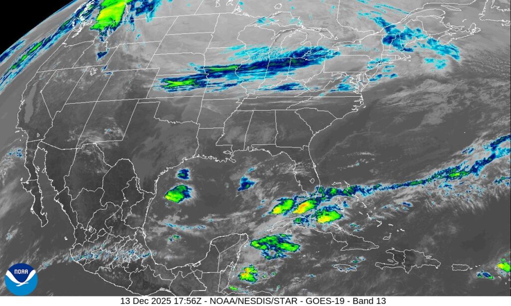
There area a couple of features moving through a trough under the Gulf of Alaska, and they are generating Clippers riding the Canadian border. There may be a bit of fresh air over Madera, but no substantial changes to the atmosphere, though Sunday will be a few degrees cooler.
Tomorrow- Sunny, High 87, Low 60
Sunday – Wispy clouds, High 82, Low 57
TWC: Tomorrow – Partly cloudy. Near record high temperatures. High 88, Low 58
Sunday – Generally sunny despite a few afternoon clouds. Near record high temperatures High 85, Low 53
AW: Tomorrow – Partly sunny and very warm High 84, Low 59
Sunday – Very warm with plenty of sunshine High 79, Low 54
NWS: Tomorrow – Partly sunny, High 89, Low 59
Sunday – Sunny, High 83, Low 54
WB: Tomorrow – Mostly sunny. High 84, Low 62
Sunday – Sunny High 82, Low 57
WN: Tomorrow – Partly Cloudy, High 89, Low 59
Sunday – Mostly cloudy, High 83, Low 54
CL: Tomorrow – Mostly Cloudy, High 86, Low 56
Sunday – Sunny, High 83, Low 51
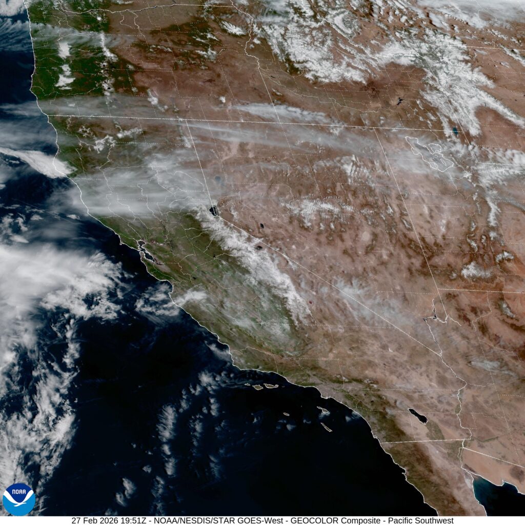
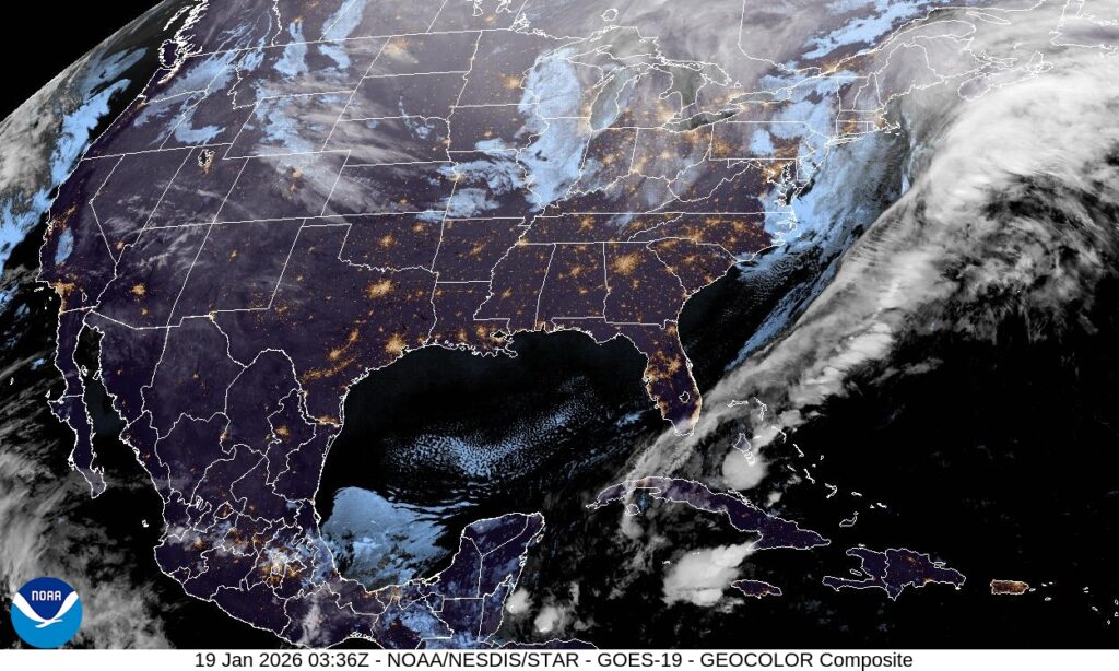
A couple of warm days ahead. Probably more than that. Satellite offers no relief.