We are headed down to the Carolinas today. As things get warmer, weather is starting to get more convective. Will that be the case in North Carolina?
At 1010AM, ET, Fayetteville was reporting scattered clouds and a westerly breeze gusting to about 20mph. Elsewhere in the area, dew points of over 60 were leading to some haze, which the wind was doing a good job of scouring. There is a boundary to the west of the Appalachians that is in the process of fading, but has done an effective job of drawing warm moist air into the Carolina coastal plains.
That boundary is fading as low pressure deepens in the northern Plains. This will reinforce both the jet ridge over the east coast, and the warm, oceanic air in Fayetteville. Clouds will increase with the temperature, but a dry couple of days are anticipated.
Tomorrow – Mostly sunny, High 88, Low 59
Wednesday – Partly cloudy, High 91, Low 61
TWC: Tomorrow – Mostly sunny skies. high 89, Low 60
Wednesday – Generally sunny. Near record high temperature High 92, Low 62
AW: Tomorrow – Partly sunny and very warm with the temperature tying the record high from 1922 High 92, Low 59
Wednesday – Partly sunny and hot with the temperature approaching the record high of 95 set in 2006; caution advised if doing strenuous activities outside High 94, Low 61
NWS: Tomorrow – Sunny, High 89, Low 61
Wednesday – Sunny, High 92, Low 64
WB: Tomorrow – Mostly sunny. High 86, Low 65
Wednesday – Sunny hot High 89, Low 67
WN: Tomorrow – Mostly Sunny, High 89, Low 61
Wednesday – Mostly sunny, High 92, Low 64
CLI: Tomorrow – Sunny, High 88, Low 58
Wednesday – Partly cloudy, High 91, Low 61
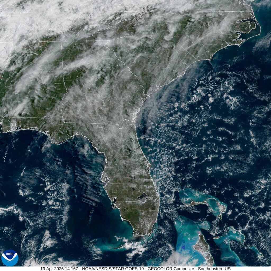
Easy peasy. Satellite shows some scattered clouds across the southeast.