
With the newly advertised atmospheric river coming for the Pacific Northwest, there stands to be a bit more interesting weather eventually trickling into the High Plains of Colorado. But how soon?
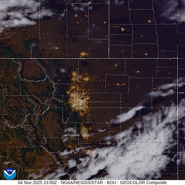
At 856PM, MT, Greeley was reporting clear skies and a temperature of 43 degrees. Greeley was a pit on the temperature map, as Fort Collins to the west and Fort Morgan to the east were both still in the 50s, while Greeley aligned more with Cheyenne and Laramie, where it had tarted to cool down. Flow is fairly calm, however there is a stream of high clouds showing up south of Denver.
The jet fostering low pressure will eventually emerge in the central Rockies, and dig into the high pressure in the Plains. Low pressure will begin to organize in Montana, drawing more warm, dry air through Greeley. With low pressure organizing so far north, there is no threat for rain in the Greeley area.
Tomorrow – Fair skies, High 67, Low 30
Thursday – Partly cloudy, High 70, Low 28
TWC: Tomorrow – A mainly sunny sky. High 66, Low 31
Thursday – A few passing clouds, otherwise generally sunny. High 68, Low 31
AW: Tomorrow – Mostly sunny and not as warm but pleasant High 66, Low 31
Thursday – Mostly sunny and windy High 69, Low 29
NWS: Tomorrow – Sunny, High 65, Low 32
Thursday – Mostly sunny, High 67, Low 34
WB: Tomorrow – Mostly sunny. High 65, Low 38
Thursday – Partly cloudy. High 65, Low 36
WN: Tomorrow – Mostly sunny, High 65, Low 35
Thursday – Partly cloudy, High 67, Low 36
CLI: Tomorrow – Sunny High 65, Low 31
Thursday – Partly cloudy High 68, Low 30
It’s such a wildcard this time of year in the High Plains and Front Range. The forecasts are all pretty similar, which means we are all going to be wrong in the same way. Satellite shows a few clouds tonight, generally to the south.
Comment (1)