It seems like a trend of late, where we keep getting these forecasts that bust because morning lows are cooler than expected. This is what happened in Weirton as well on Thursday and Friday, with morning lows settling in about 5 degrees cooler than expected. The rain that the city saw wasn’t a hang up, and the high temperatures were pretty well in line, but those pesky lows…. Ultimately, the rain was a hang up for Weathernation, who lost out on the top spot because they didn’t have it for Friday, but Accuweather and the National Weather Service did, and were able to overtake WeatherNation to secure a victory. Actuals: Thursday – .1″ of rain, High 72, Low 39 Friday – .16″ of rain, High 56, Low 40
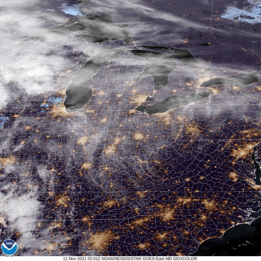
We are getting way up in the West Virginia Panhandle for tonight’s forecast. There is a nasty autumnal storm moving through the Plains, which will only bring the same for the Ohio Valley this week. But how nasty might it get?
At 953PM, ET, the Weirton area was reporting a temperature of 53 degrees with clear skies. The eastern US is under high pressure, but an active area of low pressure threatens to change the pattern. This feature is in the early part of it’s life cycle, existing as an elongated pressure trough centered from Minnesota to eastern Oklahoma. The jet exit region of the trough fostering this low will strengthen and course the system to occlude and take on the more typical comma shape of strong transitional season systems. Already, the system is ejecting some high cirrus that is nearing northern West Virginia, and that will ensure that gray skies are the order of the day tomorrow, even before precipitation arrives. By tomorrow evening, the system will be mature and the first spots of rain will arrive. The front associated with this system will arrive with gusto between about 8 and 10pm, with rain and breezy conditions likely. The precipitation will clear out fairly quickly and with a shot of crisper air. Friday will be cooler but with more sun. Tomorrow – Cloudy, with rain, and maybe an isolated rumble of thunder late, High 68, Low 47 Friday – Rain early, then cool, High 55, Low 45
TWC: Tomorrow – Cloudy. Slight chance of a rain shower. High 71, Low 46 Friday – Except for a few afternoon clouds, mainly sunny (early rain). High 58, Low 45
AW: Tomorrow – Warm; sun and areas of high clouds in the morning, becoming cloudy in the afternoon with a passing shower High 69, Low 43 Friday – Some sun, then turning cloudy, breezy and cooler (Early rain) High 57, Low 45
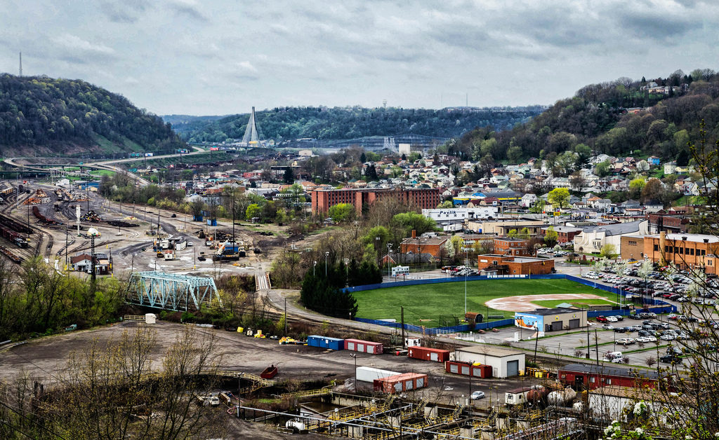
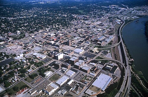
Weirton lies along the banks of the Ohio River, while St. Joseph is on the Missouri. Maybe they aren’t the most famous towns on their respective rivers, but they do offer a chance to get up close to them. It will require a day and a half drive over the course of 832 miles. Our first day will conclude 518.7 miles in, slowed by travelling off-interstate to a pace of 64.8mph.
DAY ONE (Tuesday)
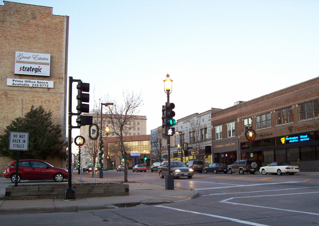
Weirton, West Virginia
High pressure has nosed into the western Great Lakes, and will suppress much rising air, which usually just means that there won’t be any showers or storms in the area. This is true, but for our purposes, it means an inversion across much of the region as well. This suggests there will be A) low clouds and B) morning fog, thanks to the high moisture content in the region, thanks to snow melt and a lack of motivation to clear out. As the day goes on, expect improved visibility and maybe even a bit of sun in the afternoon over Illinois and Indiana. We’ll stop in Buffalo, Illinois, between Springfield and Decatur, for our sole break of the trip.
DAY TWO (Wednesday) A weak feature sliding along the Texas Gulf Coast will extend an inverted trough to the Show Me State, which means a few wet flakes across the region. Given the temperatures, it seems likely that this will lead to some especially icy roads in northern Missouri, even if there isn’t a lot of accumulation. I’m concerned about the threat for some freezing mist in the morning. Drive safely!
That, my friends, is a lot of W’s. We are going to trek through the Great Lakes right in the middle of winter. Does this mean Lake effect snow? Maybe! There is only one way o find out, I suppose. Our drive till take one long day, covering 606 miles, bogged down by the Windy City, which will let us move at a nearly glacial pace of 62mph. We’ll get there. Sometime.
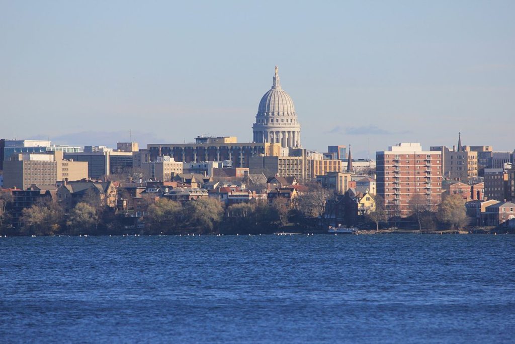
Madison, Wisconsin
It’s not Lake effect snow that will be the problem on our Saturday drive, but rather just standard, regular back side of an area of low pressure snow that will be an issue. It’s not going to be heavy, save, perhaps for the stretch of northern Indiana downwind of Lake Michigan. the snow will be wet, too, and well trafficked roads might not even ice over with the snow. But any snow, especially in a metropolitan area like Chicago, is going to really slow down travel. Snow will still be possible across Ohio, but it will be a misty, flaky brand of snow that won’t accumulate and will be tough to wipe off your windshield without the help of washer fluid. Weirton awaits, whether or not you can get the grime off your windshield.
Today we have a 2-day trip from Weirton, WV to Oshkosh, WI, home of the annual EAA Airventure show! While that doesn’t happen until July, let’s take a look at what the next couple days bring over the Midwest as we make our way there!
DAY ONE
High pressure sitting over the OH Valley is keeping the region high and dry today, with mostly sunny skies expected over much of the region. The day starts out pleasant as we head north towards Cleveland then as we hop on I-90 westward, it should be nice as sunny as we make our way through northern OH and northern IN, though some clouds may crop up later in the afternoon. We finish the day in Chicago.
DAY TWO
A weak area of low pressure is pushing its way through IL this morning, and we could be seeing some light snow as it continues its way through the Great Lakes. As we head north from Chicago, the snow activity should be dwindling and be done by the time we cross into Wisconsin. Cloudy skies are expected for the rest of the day northward as we make our way into Oshkosh by the early afternoon.