Lima, Ohio to Oxnard, California

Let’s hit the road for a 4 day trip to the West Coast. We are enjoying a stretch of quiet weather throughout most of the country, so let’s see if that holds for our 2,298 mile journey. We’ll have a pace of 67.6mph, which means the first three days will have a goal of 541 miles, with a longer day coming for Saturday.

DAY ONE (Wednesday)

Lima, Ohio

Low pressure is churning in the northern Gulf of Mexico, bringing much needed rain to the Coast, and importantly, preventing much moisture from building into the middle of the country. Our first day of driving will be pretty easy, frankly, and we will see 4 states by the end of it. The stop for the night will be near Devil’s Elbow, Missouri, the site of the last part of the original Route 66 that was in use before being replaced by Interstate.

DAY TWO (Thursday)
Low pressure isn’t entirely the property of the Gulf. The Polar Jet is running along the Canadian border, and is going to kick up a Clipper that will charge through the Canadian Prairies. By Thursday, a cold front will slice through the Plains, and we will cross paths with it as we reach the end of our day in Amarillo. That said, don’t be surprised to see winds really pick up around Oklahoma City and continue through the day.

DAY THREE (Friday)
The wind will subside, and temperatures will be a bit chillier than when we awoke the morning before, even though we are a bit further south. The drive will be pretty easy, albeit barren of many chances to stop for gas. We’ll traverse New Mexico and eventually land in the Chevalon Creek Wildlife Area, not far from Winslow, and quite the beautiful spot.

DAY FOUR (Saturday)
I would say that 3/4ths of the drive on Saturday will be free of issues, but we are approaching the rainy season in California, and it is trying to start on time. An area of low pressure is moving near the coast by the weekend, and after we cross the Cajon Pass to Pasadena, we will be under the threat for some light showers. Our route will hug the San Gabriel and Topatopa Mountains, which will only make rain likelier, which isn’t great news, because Californians aren’t the best at driving in inclement conditions. We’ll make it, though, and prepare for things to green up with this taste of rain.
Oxnard
Oxnard, California

Snow skipper

If you like winter weather, the Great Lakes and New England are great places to be. Snow comes in heavy in that part of the world, and is usually the wet, dense stuff, perfect for snowmen and snowballs, and not the wispy inch or two you get in the Plains that aren’t really good for anything. What is worse than that, though, is when it rains. That’s all they got in Lima on the 11th, in the distant past when we issued our forecast for the northwestern Ohioan town. What a tease! Victoria-Weather saw it coming, though, and collected the top forecast in town, for our first win in 2022.
Actuals: February 10th, High 37, Low 28
February 11th – .12″ of rain, High 43, Low 28

Grade: A-C

Lima, Ohio

Sure I’m up late, but the Olympics are in Beijing, and on TV at all the wrong times. Speaking of the Olympics, these are the winter games, and Lima will get pretty wintry as we wrap up the week.

At 1253AM, ET, Lima was reporting a temperature of 37 degrees with mostly cloudy skies. The southern end of a Canadian trough is moving through the Lima area tonight, but will be out of the hair of Lima residents entirely by the time the sun rises. It will shine brightly as clouds associated with the area of low pressure will shift northeast.
The next feature is a Clipper already forming in the Canadian High Plains. The heart of the feature will move through Wisconsin and Michigan on Friday, but the tailing cold front will sweep through northern Ohio. Snow is likely to arrive on Friday, heavily at times around noon, but mixed a bit with rain initially. It will then get colder with a few flurries possible through the afternoon.
Tomorrow – Clearing, but still partly cloudy, High 37, Low 30
Friday -Rain mixing with snow, around midday, flurries late, High 42, Low 28

TWC: Tomorrow – Cloudy skies, early snow, High 36, Low 31
Friday – Cloudy with periods of light rain, High 41, Low 27

AW: Tomorrow – A couple of morning flurries; otherwise, cloudy and colder High 38, Low 31
Friday – Breezy and milder; sun and areas of high clouds in the morning, then a mix of snow and rain in the afternoon High 40, Low 26

NWS: Tomorrow – A 20 percent chance of snow showers. Cloudy, High 33, Low 25
Friday – Snow before 8am, then rain and snow between 8am and 11am, then rain after 11am High 41, Low 24

WB: Tomorrow – Cloudy with a 20 percent chance of snow showers, High 36, Low 28
Friday – Windy cloudy, rain. Possibly mixed with snow in the morning. Then chance of rain in the afternoon. High 40, Low 28

WN: Tomorrow – Mostly cloudy with slight chance of light snow showers, High 33, Low 24
Friday- Cloudy with light wintry mix, High 40, Low 24

FIO: Tomorrow – Overcast throughout the day. High 34, Low 23
Friday – Light rain starting in the morning. High 40, Low 23

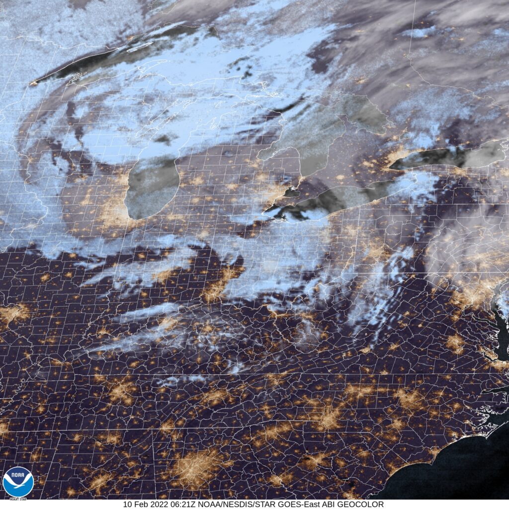
This verification is going to be very interesting. A mixed assortment of precipitation forecasts, as well as questions about the temperature trajectory, especially for Thursday. I’m intrigued. Here is the satellite, with some clouds nosing in from Michigan. This isn’t much, and a more notable system is on it’s way.

Phoenix, Arizona to Lima, Ohio

Anthony is on vacation, and I am in the process of moving, so our posting has become a admittedly sporadic. I’m here now, though, to take us through a lengthy spring trip, potentially through the teeth of some strong storms. IT will take us 3 1/2 days to cover 1873 miles, which means a surprisingly lackadaisical 66.9mph. We’ll net 535 miles on the first three days, with, well, about half that on Wednesday.

Phoenix, Arizona

DAY ONE (Sunday)
We don’t usually think about the Desert Southwest when considering the threat for showers, thunderstorms and cold fronts, but a feature will be sliding into the west coast this weekend with a pretty sizeable cold front moving towards central California. It will eventually bring some rain to northern Arizona, but it looks like we will be sneaking into New Mexico with plenty of time to spare. It should be a seasonably warm day, except in the high reaches of the Rockies between Phoenix and Santa Rosa, New Mexico, the day one destination.

DAY TWO (Monday)
Monday has caught the eye of the Storm Prediction Center already as a moderate risk day. In my eyes, this means that it will almost certainly translate to a high risk day, and the high risk will be right along our route, particularly in the western half of Oklahoma. We will see some showers potentially starting around Amarillo, with the severe threat starting around Shamrock, Texas. Storms will be most likely, as it appears right now, around Woodward and Watonga, north of our route, but we will be in the mix up to and through the Oklahoma City metro area. Tulsa doesn’t seem to be under the gun on Monday as much as other parts of the state, and we will call it a day in Claremore, hopefully able to rest easy as severe storms and tornadoes stay well to the west.

DAY THREE (Tuesday)
The storm system will sit and spin over the High Plains along the Colorado/Kansas border Monday until Tuesday, which will cause dry air to cycle in from the southwest, and rope out the cold front. It will stall over eastern Oklahoma and western Missouri. There may be some showers and thunderstorms as we get started, however we should be through them by the time we get past Springfield, Missouri. The activity is likely to get stronger as the day goes on, but our trek towards St. Louis and Illinois will be hot, humid and free of rain. We’ll make it to Terre Haute, Indiana before we finish things off on Wednesday.

DAY FOUR (Wednesday)
The cold front will get started again overnight Tuesday into Wednesday as the system spins north and loses it’s bearings. Showers and perhaps an embedded thunderstorm will be possible over Indiana and Ohio on Wednesday, but they won’t be nearly as intense as the storms we see on Tuesday.

Lima, Ohio