Grand Forks, North Dakota to Corvallis, Oregon

This is an interesting trip to me, one that will cover 3 days and 1,639 miles. We’re hitting a lot of open territory. Big Sky Country, as some have called it. We’ll carry a pace of 65.6mph and break the trip into 524.5 mile segments, with a little extra for day three. Drive fast, the speed limit allows it!

DAY ONE (Saturday)
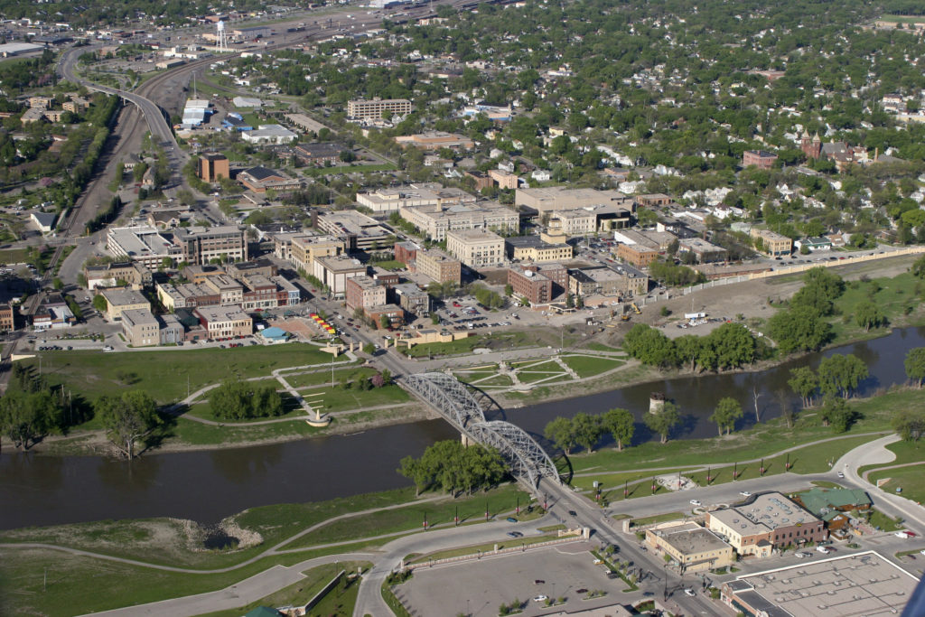
(May 17, 2006 Grand Forks, ND) Ð Aerial view of Grand Forks mitigation project building new levee walls, burns and pumping stations protecting the city from the Red River. Photo by Brenda Riskey/UND

A surface wave centered over Minnesota is kicking up light rain all throughout Minnesota, encroaching on the Red River. High pressure is going to strengthen and squash the disturbed weather to the southeast. It’s going to be a little chilly, relatively speaking, to start the day, but it should warm quickly in western North Dakota. Eastern Montana will be sunny and warm, and in honor of the drive on Saturday, and the rest of the journey to come, we will stop in Miles City, Montana.

DAY TWO (Sunday)
Eastern Montana is wide open pastures and prairies, and becomes mountainous around Butte and Helena. We’ll run into showers and thunderstorms right here, where the prairies run into the Rocky Mountains. The storms will be widely scattered and may even be dry, and when we start getting to western exposures around Missoula and westward, the threat will significantly lessen. We’ll make it to the Clark Fork River Crossing near Tarkio for the end of the night.

DAY THREE (Monday)
Another shorth wave is moving ashore Sunday night, and some more of those spotty, potentially dry storms in the chimney of Idaho. It’s going to be dry after that in the Pacific Northwest. Fortunately, the Gulf of Alaska gyre is reforming, but for the time being, sit’s still hot in the Pacific Northwest
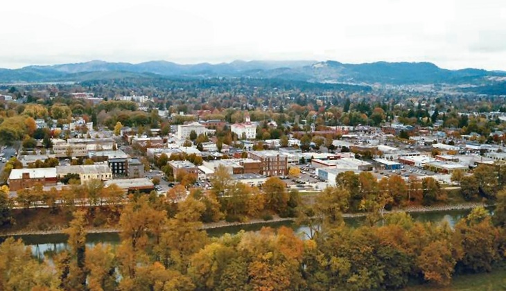
Grand Forks dust up

One thing that I have come to notice about the strong area of low pressure that shot north through the Plains and into Canada is that the storm activity has been much higher than anticipated. Oh, and the heat also. It’s been warm! It was the storms that were the story in Grand Forks, however. They were not at all anticipated in any of the forecasts from the various outlets, though everyone thought the passing warm front would introduce some clouds on Saturday. The biggest surprise was that after the storms, albeit isolated, a lot of dust was kicked up in Grand Forks. The afternoon saw 2 mile visibilities thanks to the 35-40mph wind associated with the system (remember how I said it’s always windy there?), which prevented temperatures from getting out of the lower 80s, and busting forecasts across the board. It was a grimy, miserable way to spend the first day of Father’s Day weekend. Accuweather had a narrow victory, hitting on almost everything, but missing on the rain and the Saturday high.
Actuals: Friday, High 82, Low 54
Saturday – Storms reported, not measured, High 83, Low 62

Grade: C-D

Grand Forks, North Dakota

It’s summer in North Dakota, which means that it will probably be surprising to many how hot it actually gets up there. No matter the temperature, it’s always windy. Always, always.

At 953AM, CT, Grand Forks was reporting a temperature of 67 degrees and fair skies. Winds were howling out of the west at 20kt, with gusts to 31kt. Low pressure moving into Hudson Bay was accelerating winds across the flatlands of North Dakota, but there should be some respite as the system presses northeast towards northern Quebec.
High pressure will build across the area, providing a blissfully calm day on Friday to end the week. A sharp trough over the Pacific Northwest will accelerate some lee troughing in the northern High Plains, and some ridge riding cloud will pass overhead with a warm front early on Saturday. Heat will build as low pressure spreads into Saskatchewan and Manitoba, and accelerates southerly flow through the Plains.
Tomorrow – Sunny, High 85, Low 52
Saturday – Morning clouds, then hot and humid High 92, Low 60

TWC: Tomorrow – Mainly sunny. High 85, Low 54
Saturday – Partly cloudy skies with gusty winds.  High 91, low 63

AW: Tomorrow – Times of clouds and sun High 84, Low 54
Saturday – Partly sunny, windy and hot High 90, Low 62

NWS: Tomorrow – Sunny, High 83, Low 55
Saturday – Mostly sunny and hot, High 90, Low 61

WB: Tomorrow – Sunny, High 84, Low 55
Saturday – Mostly sunny. Windy. High 91, Low 64

WN: Tomorrow – Sunny, High 83, Low 55
Saturday – Mostly sunny, High 90, Low 59

FIO: Tomorrow – Clear throughout the day. High 80, Low 58
Saturday – Windy overnight and in the evening. High 86, Low 60

I’m definitely going warmer. The heat will continue to build, and a run at triple digits is possible for Father’s Day. The trends are going that way, and I am getting ahead of the trend. Satellite shows a wisp of clouds on the back side of the low headed through Canada, and it is windy at the surface. Always windy.

Tallahassee, Florida to Grand Forks, North Dakota

Today we embark on a 3-day, 1,687-mile cross-country trip. However, we’re not going coast to coast, we’re going from the Gulf to the Great Plains! Let’s see what the next few days has in store for us as we make our way from Tallahassee to Grand Forks.

DAY ONE

Quiet conditions are expected for our departure from Tallahassee in the morning. As we pass by Montgomery midday, a few isolated showers and thunderstorms look to develop in the region, but most of that should be off to the east of the route. Dry weather should persist for the rest of the day as we pull into Nashville for the night

DAY TWO

Quiet conditions are anticipated for the start of the second day, though as we head northwestward on I-24 into KY, there could be a couple isolated showers during the late morning hours. We’ll pass by Paducah and head north towards Champaign, with partly to mostly cloudy skies along the route. Dry weather persists throughout the day as we pass Champaign and continue north towards Rockford, our stop for the night. There could be some isolated shower activity as we pull in, but thunderstorms might be seen off to the northwest.

DAY THREE

Low pressure shifting through WI and IL to start the day could make for a cloudy and showery morning as we head north towards Madison. Thunderstorm activity, if it’s already started, should be off to the east so that’s some good fortune for us as we start this long day. Dry conditions are expected through the midday and afternoon hours along I-94 through WI towards the Twin Cities, though don’t be surprised if a late-afternoon shower pops up as we make our way into MN. As we continue along I-94 past St. Cloud towards Fargo, dry conditions are expected once again and remain so for the rest of the trip into Grand Forks!