10:53PM: Happy Valentines Day! Especially if you are in the middle of the country, and are a fan of warm weather. Record highs were reported in Minneapolis today, as a part of that surge of warm air. Heart shaped sunglasses for all.
Updates 2/12
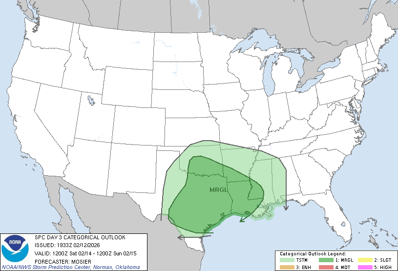
10:28PM: We talked about the change the pattern is going to be experiencing in the very short term. One of the functions of this change is that we will see an active pattern, with low pressure drawing moisture out of the Gulf. Well, here it comes. This is the thunderstorm outlook for Saturday.
Updates 2/10
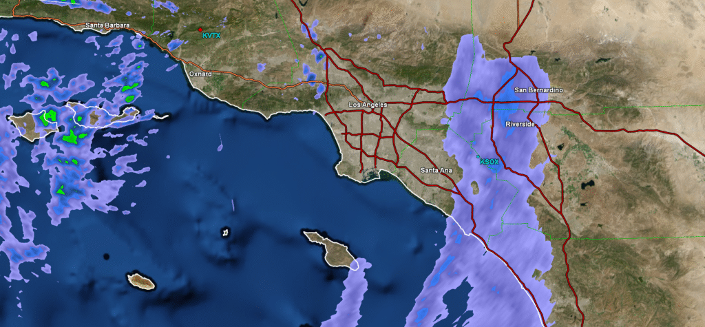
8:04: Absolute pandemonium is about to ensue. The LA area is getting dampened, and it is only going to get wetter.
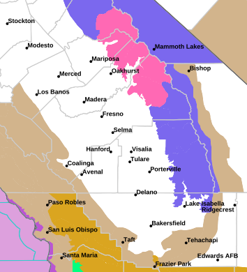
11:46PM: Here we go gang! Look at all these snow and winter advisories in the Sierras!
Updates 2/8
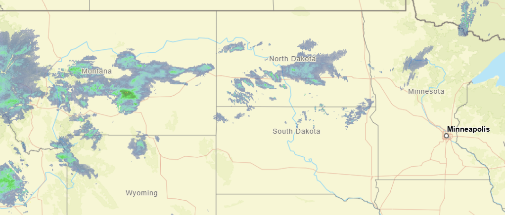
11:33PM: I hope everyone enjoyed the big game! If you are taking a quick gander at the radar before bed, the only thing that stands out to me is that a boundary in the northern Plains is spitting out a bit more snow than I think we expected. Otherwise, a pretty quiet night elsewhere. Except Seattle, I assume.
Updates 2/7
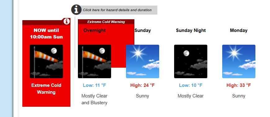
11:41PM: Stay warm on the east coast tonight, folks! It is going to be very chilly, with extreme cold warnings as far south as Baltimore.
Updates 2/6
10:52AM: I can confirm from our forecast for Janesville last night that a weak little band of snow did come through, but there were no accumulations noted. There were light snow showers in the observations for about 3 hours, and now it is 36. It is cloudy, so don’t get ready to go tanning or anything quite yet.
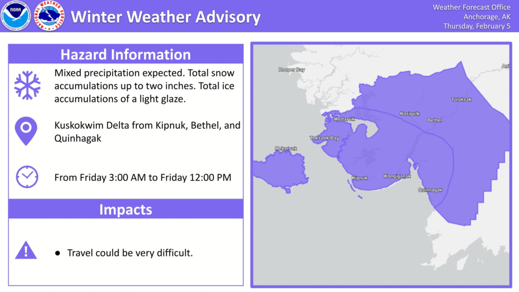
12:57PM: The weather is quiet for a lot of the US right now, but there is one pocket of the nation that is looking ahead to a bit of snow. It is a very narrow pocket, and it isn’t much snow, though. This one is for the handful of people that might actually visit this site!
Updates 2/1
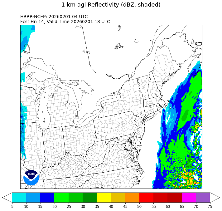
12:04AM: Wind? Yes? Snow in the mid-Atlantic and New England? No.
Updates 1/31
5:13PM: An interesting feature of the ongoing storm activity in the Southeast for the second weeeekend in a row is the absence of precipitation in the northern Plains. It’s cold, but it’s cold on top of a half inch of snow in some places. No changes in the near future, either.
9:57PM: OK, I take it back a little bit. There might be an additional quarter to half inch in some places tonight, particularly in Minnesota. And, actually, it will ride a warm front, so temperatures might be livable tomorrow. Melt some ice.
Updates 1/29
6:00pm: The storm last weekend was such a good measuring stick for how we can be affected by weather depending on where you live. The East Coast is returning to normal: plows are clearing the roads fairly easily, and kids aren’t getting more days off of school. In places like Nashville, so much ice brought down branches and power lines, and recovery will be measured in months. Right now, it’s just going to be an :effort to stay warm.
8:42PM: The upper level trough is beginning to rotate into the southeastern US, bringing a pool of cold air with it, and also pushing a head some flurries, which are extending along a line from the western Dakotas, south to Nebraska and at a sharp eastward angle towards Cincinnati. Keep an eye on that crook and where it ends up. That will be the center of our problems this weekend.
Updates 1/27
2:05PM: We get to enjoy a bit of peace and quiet, albeit without power and buried under snow in a big chunk of the country, but at least the weather will be quiet! Of course, we have our next system moving into the Pacific Northwest right now, and there are signals at the end of the week that another storm could be brewing in the southeast. Can’t be as bad as the last one though, right?
Right?
7:59PM: The snow and whatnot is done (whatnot is doing some heavy lifting there), but the cold is not. Anyone who has gone through winter knows that when the snow is on the ground, the temperatures have a much tougher time warming up.
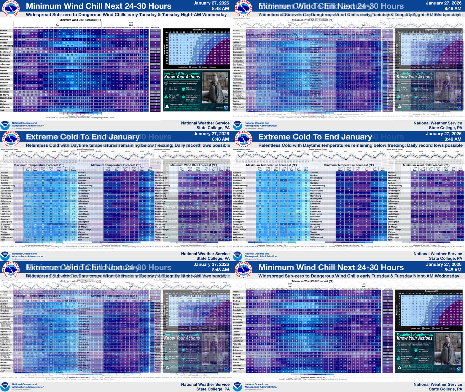
Brr.
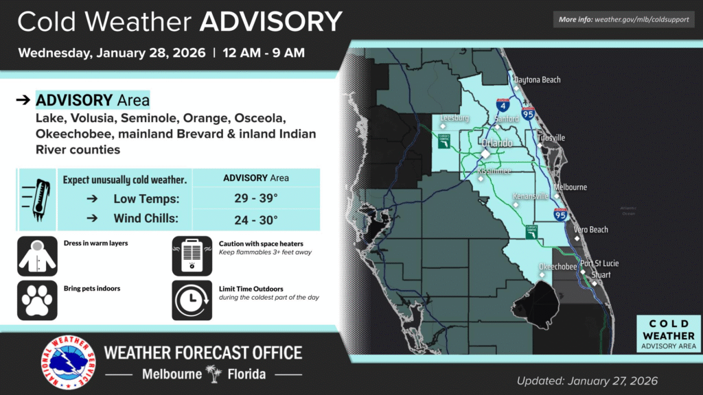
11:46: And now for something completely different: Freezing conditions extend deep into Florida tonight.
