
They are called cold snaps, because they are over in a snap, just like heat waves are called that because they rise and fall. It’s been a while since we’ve enjoyed an extended period below normal, especially outside of winter, but naturally, that won’t be the long term trend.
A pool of cold air has dived south through the Plains and spread to the East Coast. The Mississippi Valley is seeing their coolest temperatures since March or April (and about a month too early), and the weekend will prove to be on the chilly side on the coast. The pattern will finally start to break, with a better formed trough shifting off shore, allowing warmer air in.
But still, that shift isn’t coming until Tuesday, and that is only in the Plains. Warmer air will start to return, but the surface ridge will wrap from New England the Gulf Coast, keeping a lot of the country dry, both in terms of rain, and lack of humidity. On the Coast, the below normal temperatures are going to last perhaps all week next week.
With all that said, we will be into mid-September, and yet, the monthly forecast still looks like this:
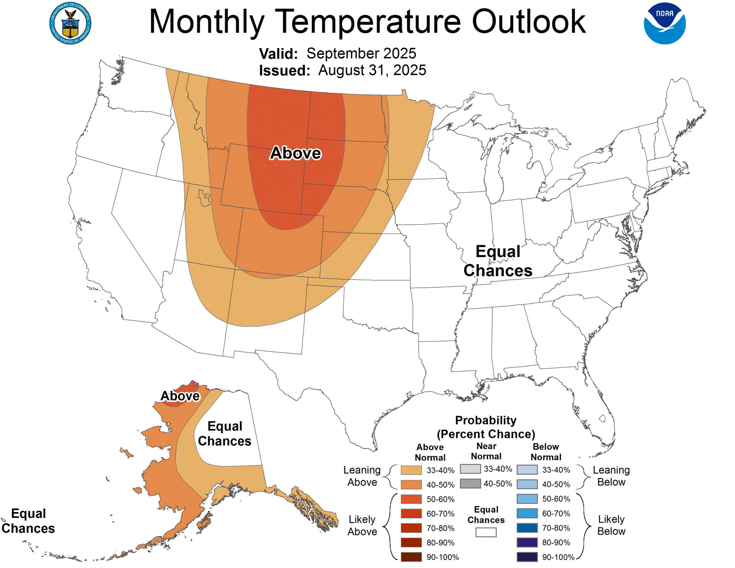
Even with that much time below normal, parts of the eastern 2/3rds of the US are above normal, and most of the region will be near normal, according to prediction from the CPC. Not only will the cold snap end, we can reasonably expect a course correction through the end of the month.