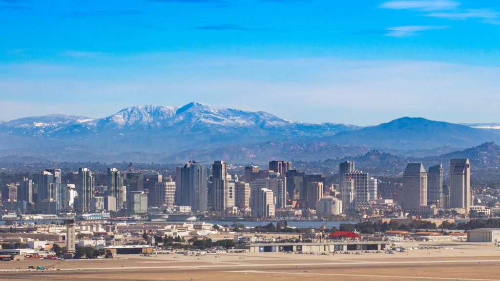
Between the uncharacteristic rains earlier in the year, but before the heat settled in to this part of the world, we took a trip to San Diego. The forecast was issued at just the right time, to capture postcard perfect weather. At the end of February and beginning of March, temperatures were starting to creep up there, which meant outlets that were on the warm side generally fared better. In this instance, it was the Weather Service who secured the top spot, but with conditions like these, nobody is even worried about those on the bottom — The weather would have been great if their forecast was perfect, too. Actuals: February 28th, High 81, Low 62 March 1st, High 78, Low 56
Our next couple of forecasts are going to be in California. Very recently, the Golden State has seen some significant weather, but will that return any time soon?
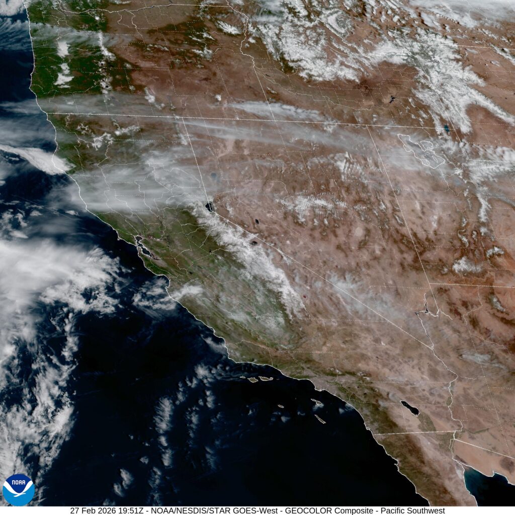
At 1151AM, PT, San Diego was reporting a temperature of 81 degrees with clear skies. After some patches of rough weather earlier in the month, Southern California was back to living up to its reputation as a sunny, warm destination. On satellite, there is an obvious area of low pressure over the eastern Pacific that is trying to fold into the upper level jet pattern. It will weaken in the famously inhospitable to synoptic features eastern Pacific, but will arrive in northern California late on Saturday, with an associated cool front stirring things up a bit in San Diego, though failing to bring anything but fresher air by late Sunday. Tomorrow – Sunny, High 82, Low 60 Sunday – Partly cloudy, High 80, Low 57
TWC: Tomorrow – Partly to mostly cloudy. High 78, Low 56 Sunday – Some sun in the morning with increasing clouds during the afternoon. High 74. Low 55
AW: Tomorrow – Sunny to partly cloudy and warm High 77, Low 57 Sunday – Pleasant with sunshine and a few clouds High 73, Low 55
NWS: Tomorrow – Mostly sunny High 81, Low 61 Sunday – Sunny, High 78, Low 58
WB: Tomorrow – Partly cloudy. High 81, Low 63 Sunday – Mostly sunny High 81, Low 59
WN: Tomorrow – Mostly Sunny, High 81, Low 61 Sunday – Mostly Sunny, High 77, Low 58
CLI: Tomorrow – Mostly cloudy, High 74, Low 60 Sunday – Sunny, High 70, Low 57
Well, well, well. That is certainly an interesting array of forecasts, isn’t it? Wind flow and cloud cover are going to be quite impactful, but things are weird if there is a warm/cold divide and Weatherbug shows up on the warm side. Satellite looks great, with that low over the Pacific making its presence known.
It’s good to be in San Diego. Just a statement for always, but also specifically now, where last week, weather bounced back pretty nicely after significant rain caused problems for most of Southern California early last week. It continued a trend of flooding rain across the region to start 2024. It wasn’t quite the issue to end last week. After a chilly beginning on Thursday, temperatures started climbing and the sun came out, preventing even wispy morning fog. The Weather Channel turned out the top forecast, narrowly edging their oppoinents. Actuals: Thursday – High 63, Low 51 Friday – High 73, Low 51
We’re forecasting in southern California today. It’s been a rainy start to the week, which has become a regular trend this month.
At 751AM, ET, San Diego was reporting a temperature of 51 degrees with overcast skies. The most recent band of rain showers was still leading to reports of light rain in Oceanside, but was starting to peel away from the coastal areas, and becoming an issue primarily for the Inland Empire and Mohave Desert. In the wake of another rain event, there are flood watches throughout the San Diego area. A smattering of light showers will continue throughout the day, particularly in the higher terrain of southern California, with an end coming before nightfall. Robust onshore flow at the upper levels will likely lead to some cloudy conditions even after the rain ends. A large area of low pressure off the coast of northern California is expected to linger, sending moisture rich ocean air at the low levels as well, which may mean morning fog the next couple of days in San Diego, but there will be a break from the rain until at least next week. Tomorrow – Mostly cloudy, High 61, Low 52 Friday – Morning haze and fog, then clearing, High 70, Low 51
TWC: Tomorrow – Partly cloudy. High 64, low 51 Friday – Cloudy skies early, then partly cloudy in the afternoon. High 70, Low 50
AW: Tomorrow – Areas of fog in the morning; otherwise, clouds giving way to some sun; a welcome break from recent heavy rain High 64, Low 49 Friday – Patchy fog in the morning; otherwise, clouds giving way to some sun High 70, Low 49
NWS: Tomorrow – Mostly cloudy, then gradually becoming sunny High 64, Low 49 Friday – Sunny, High 70, Low 50
WB: Tomorrow – Partly cloudy, High 62, Low 50 Friday – Partly cloudy in the morning, becoming mostly sunny, High 68, Low 48
WN: tomorrow – Partly cloudy, High 64, low 51 Friday – Mostly sunny, High 68, Low 51
CLI: Tomorrow – Partly cloudy, High 64, Low 48 Friday – Sunny, High 70, Low 45
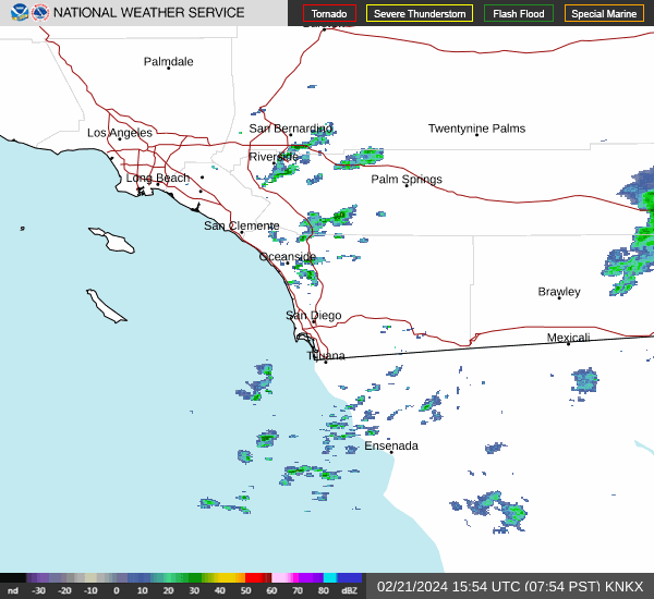
What a relief for San Diego to start coming out of this soggy week. It might even warm up a bit over the coming days and help San Diego feel more like San Diego again. Not much left on radar, fortunately.
Hello, and happy weekend! In the dead heat of summer, a road trip across the southern US sounds like the last thing one might want to do, but frankly, most cars have functioning air conditioning, so why not? It will take us a surprisingly swift 4 days at a pace of 70+mph, which is pretty close to our top speed, maybe ever. This will allow us to cover the 2176 miles between the towns in 561 mile chunks (a little less, somehow, on Day 4). Let’s blow the doors off this thing, huh?
DAY ONE (Saturday)
Tallahassee, Florida
Thunderstorms are raging in the Plains tonight, from Colorado and Nebraska southeast through Iowa and Illinois. They will continue to shift to the east southeast through the day. Bad news for the middle of the country but good news for drivers on the Gulf Coast. The showers and storms will be focused along this axis of instability, and will steer clear of the immediate Gulf Coast, leaving only a little bit of spotty activity between Mobile and New Orleans, but not much else. Our day will end on the east side of Lake Charles, still reeling from the last hurricane season. Thankfully, we’ve been quiet so far.
DAY TWO (Sunday) That feature in the middle of the country is going to slow down and wind up over the weekend. A cold front will develop over north Texas and become evident by the evening in the Dallas area, but we aren’t driving through north Texas or Dallas. It will stay Texas hot and Texas dry in the southern part of the state. We’ll get just west of Ozona before we conclude our drive for Sunday.
DAY THREE (Monday) The drive will continue through mostly pleasant conditions on Monday, but the seasonal monsoon is underway out west. The slightly elevated ground along the New Mexico – Arizona border could provide some fertile ground for scattered thunderstorms, and we might see a splash west of Lordstown, New Mexico. They will mostly be wrapped up, but still possible as we slide into Wilcox, east of Tucson.
DAY FOUR (Tuesday) A similar pattern is expected for Tuesday. Importantly, this means that showers and storms will wait until late in the day to develop, and will generally be confined to the same spots on Tuesday as they were on Monday. That is to say, they will be most likely in the New Mexico/Arizona border region, which we will long be out of by the time thunderstorms develop. It’s just the hot, dry desert for us through Arizona and inland California, with the pearl at the end of the drive, beautiful San Diego.