It’s time to take the first road trip in Victoria-Weather’s post Twitter era. Naturally, we should try to get to the center of the professional meteorology universe in Oklahoma City. We’ll take two days to cut through this tract of the country, which will cover 1212 miles. There is some mountaineering involved on this trip, but we’ll still manage a 68.3mph pace, which isn’t bad! We’re going to call it a night after 546 miles on day one, leaving a bit more work for day 2.
DAY ONE (Wednesday)
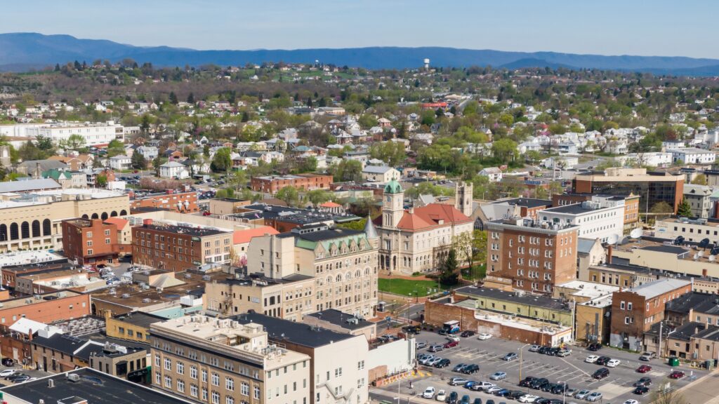
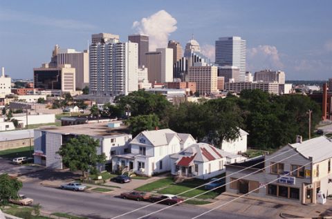
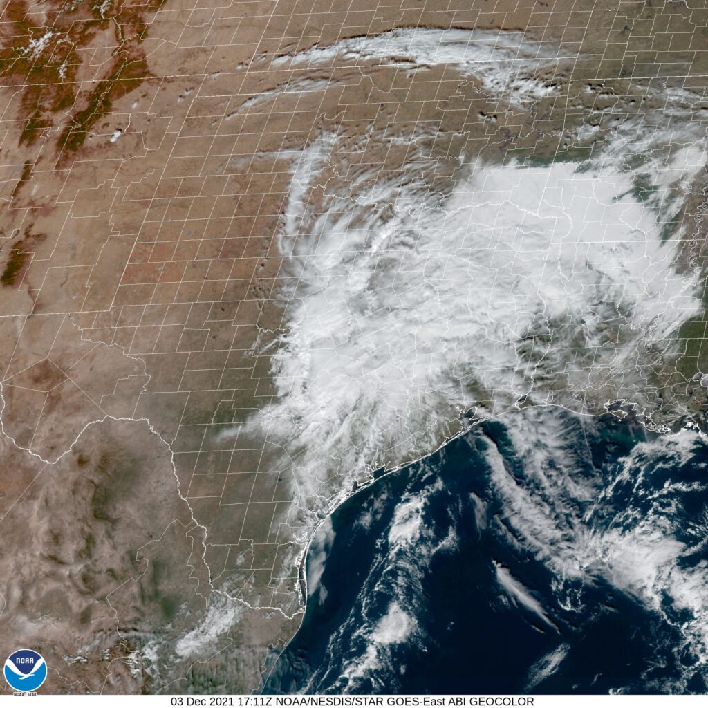
High pressure has finally arrived to New England to help dry the area out a little bit. On the southern flank of this ridge, however, showers and storms were still active. That seems to be the trend for the day tomorrow as well. The threat for showers and maybe even an isolated embedded thunderstorm will be best in the morning, and in the terrain along the Virginia-Tennessee border. Things should stabilize later in the day, and we’ll make our way to the west side of Nashville to conclude out day.
DAY TWO (Thursday)
A weak area of low pressure will be moving through the Upper Midwest towards the Great Lakes Wednesday into Thursday, and will drag a sweeping cold front into the Tennessee Valley. There may be a lingering shower as we leave Nashville, but after that, we will be able to reap the pleasures that summer has to offer us. Driving through Arkansas is a much more scenic trip than you might expect, so appreciate that, and keep the AC on for our arrival in OKC.