Rain arrives before the heatwave

I think, if anything, the “updates” have made me feel better, keeping in touch wit the weather world and sharing my thoughts on the site, instead of the meandering carcass of Twitter makes this site seem more current and me more engaged. That said, this has been a heck of a month, and the forecast we are verifying today, in Harrisonburg, Virginia, somehow occurred 2 weeks ago. At that time, a feature was attempting to ascend and descend the Appalachians into Harrisonburg, and I can now report, it was successful. Over the course of that weekend, nearly 3/4ths of an inch of rain fell, about as expected. Heavier thunderstorms on Saturday, light rain on Sunday morning, followed by a fairly manageable end to the weekend. Clime missed the thunder on Saturday, somehow, but everyone else hit on that front, and The Weather Channel continued a strong month, and earned the W.
Actuals: Saturday July 15th, .67 inches of rain in a thunderstorm, High 89, Low 63
Sunday – .05 inches of rain, High 85, Low 68

Grade: A – B

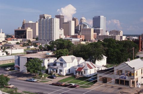
Harrisonburg, Virginia to Oklahoma City, Oklahoma

It’s time to take the first road trip in Victoria-Weather’s post Twitter era. Naturally, we should try to get to the center of the professional meteorology universe in Oklahoma City. We’ll take two days to cut through this tract of the country, which will cover 1212 miles. There is some mountaineering involved on this trip, but we’ll still manage a 68.3mph pace, which isn’t bad! We’re going to call it a night after 546 miles on day one, leaving a bit more work for day 2.

DAY ONE (Wednesday)

Harrisonburg, Virginia

High pressure has finally arrived to New England to help dry the area out a little bit. On the southern flank of this ridge, however, showers and storms were still active. That seems to be the trend for the day tomorrow as well. The threat for showers and maybe even an isolated embedded thunderstorm will be best in the morning, and in the terrain along the Virginia-Tennessee border. Things should stabilize later in the day, and we’ll make our way to the west side of Nashville to conclude out day.

DAY TWO (Thursday)
A weak area of low pressure will be moving through the Upper Midwest towards the Great Lakes Wednesday into Thursday, and will drag a sweeping cold front into the Tennessee Valley. There may be a lingering shower as we leave Nashville, but after that, we will be able to reap the pleasures that summer has to offer us. Driving through Arkansas is a much more scenic trip than you might expect, so appreciate that, and keep the AC on for our arrival in OKC.

Oklahoma City, Oklahoma

Harrisonburg, Virginia

We’re heading to northern Virginia, and are going to be in for some sultry conditions headed into the weekend. Let’s see how stuffy we can get.

At 1215PM, ET, Harrisonburg was reporting a temperature of 82 degrees with clear skies and a steamy dew point of 71. There are a few clouds in nearby Staunton, and there is lingering moisture across the coastal Plain area from the Chesapeake south through the Carolinas which will continue to diminish through the day today. It is left over from the previous round of wet weather, and as the next system moves from the Great Lakes, expect Harrisonburg to scour out a bit, with clear skies coming in.
That next system will approach from the west by Saturday afternoon. The latent moisture in the region will mean there is a better chance for some rain and storms as the system climbs over the mountains than typically seen in eastward moving systems in Harrisonburg. There is a great deal of disagreement on the timing of this feature, with one model suggesting that the system won’t arrive until Sunday. As a result, rain and storms will be in both days’ forecast, but there is a better chance that the precipitation will be stormier on Saturday evening. There is some hope for clearing on Sunday afternoon, so the weekend won’t be a total loss.
Tomorrow – Partly cloudy with some late thunderstorms, High 89, Low 65
Sunday – Scattered showers, with some clearing potentially late. Less humid, High 88, low 68

TWC: Tomorrow – Intervals of clouds and sunshine in the morning with more clouds for later in the day. A stray shower or thunderstorm is possible. high 88, Low 64
Sunday – Partly cloudy skies. A stray shower or thunderstorm is possible. High 86, Low 69

AW: Tomorrow – Clouds and sunshine with a heavy thunderstorm around High 87, Low 64
Sunday – Mostly cloudy (early storms) High 87, Low 70

NWS: Tomorrow – A chance of showers and thunderstorms after 2pm. Patchy fog before 8am. Otherwise, partly sunny, High 89, Low 66
Sunday – A slight chance of showers, then a chance of showers and thunderstorms after 2pm. Mostly sunny, High 88, Low 69

WB: Tomorrow – Partly sunny, patchy fog in the morning. A chance of showers with a slight chance of thunderstorms in the afternoon, High 86, Low 67
Sunday – Mostly sunny. A chance of showers and thunderstorms in the afternoon. High 84, Low 68

WN: Tomorrow – Partly cloudy with scattered showers and a chance of storms, High 89, Low 67
Sunday – Partly cloudy (early storms), High 89, Low 69

CLI: Tomorrow – Mostly cloudy, High 88, Low 63
Sunday – Light rain showers, High 88, Low 68

As one might expect with models in conflict, there is disagreement on how to sort out this forecast. Have a glance at the local forecast from WSHV’s Ben Beddoes to get a little bit of clarity.

Storm Shadow

The Shenandoah Valley was far enough inland that the storm system that scooted up the coast early last week didn’t bring any precipitation to Harrisonburg on Tuesday. Residents of Harrisonburg did not get to enjoy any downsloping, however, and even without the rain, the cool north Atlantic breeze suppressed afternoon highs, and Monday and Tuesday couldn’t even reach the 50s. This combination of events allowed Victoria-Weather and Accuweather to split honors.
Actuals: Monday – High 46, low 24
Tuesday – High 45, Low 25

Grade:

Harrisonburg, Virginia

We’re taking our situation to the lee side of the Appalachians. It doesn’t seem like a heavily populated area, but there are many small cities from Winchester in the north to Charlottesville, Roanoke and Blacksburg with Harrisonburg in the middle.

At 935PM, ET, Harrisonburg was reporting a temperature of 37 degrees with clear skies. There was a brisk flow off the mountains, with some overcast over West Virginia, but it was chasing low pressure that had shifted off shore.
The area of low pressure over the Canadian Maritimes that was trailing the cold front was parented by a trough with a tail into the Great Lakes, however the jet had dug all the way to the Gulf of Mexico. Low pressure will develop at the base of the trough and move up the Gulf Stream. It will remain well off shore, and high pressure will remain in place over Harrisonburg, but the reinvigorated flow will keep Harrisonburg dry and cool to start the week.
Tomorrow – Mostly sunny, High 51, Low 25
Tuesday – Increasing clouds, High 52, Low 25

TWC: Sunny, along with a few afternoon clouds High 50, Low 26
Tuesday – Cloudy. High 50, Low 28

AW: Tomorrow – Plenty of sun high 50, Low 27
Tuesday – Some sunshine giving way to clouds High 50, Low 26

NWS: Tomorrow – Sunny, High 48, Low 25
Tuesday – A slight chance of rain after 2pm. Partly sunny, High 51. Low 29

WB: Tomorrow – Sunny, High 49, Low 30
Tuesday – Mostly sunny in the morning then becoming mostly cloudy, High 48, Low 31

WN: Tomorrow – Sunny, High 48, Low 25
Tuesday – Partly cloudy with isolated showers, High 51, Low 29

FIO: Tomorrow – Partly cloudy starting in the afternoon. High 52, Low 32
Tuesday – Mostly cloudy throughout the day. High 49, Low 32

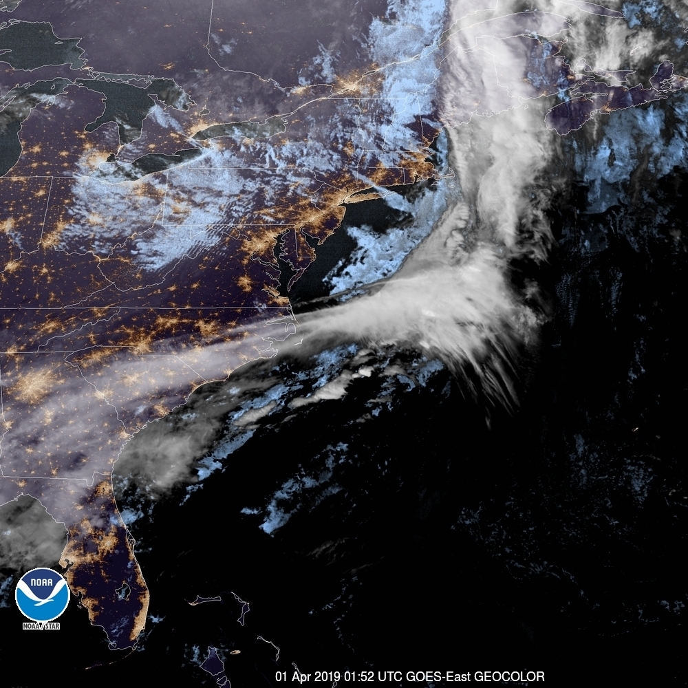
The Weather Service and WeatherNation are leaning into the NAM today, but everyone else is a bit more optimistic. Satellite tonight shows off a pretty clear night in Virginia.