We took a look at two Florida cities recently, and when we looked at Gainesville, Mindy wasn’t really much of a consideration. Fortunately for our forecast consideration, the eventual tropical storm skirted north of the University of Florida campus, instead leaving isolated showers and storms in the region. If I need to spell it out further, there were actually some outlets that didn’t have rain in the forecast on Monday, which was definitely enough to change the overall balance of the day. Forecast.io would have won, had they put rain in the forecast — again, a forecast near an emergent tropical storm — but instead, it’s Weatherbug with the victory. Actuals: Monday -.01 inches of rain, High 89, Low 71 Tuesday – .01 inches of rain, High 86, Low 73
Hey gang! Happy Labor Day, I hope you are enjoying this last breath of summer. Of course, it goes along with the first real weekend of college football, so one foot in the summer, one in the fall, and I think Gainesville is a good nexus for that. Warmth and college football.
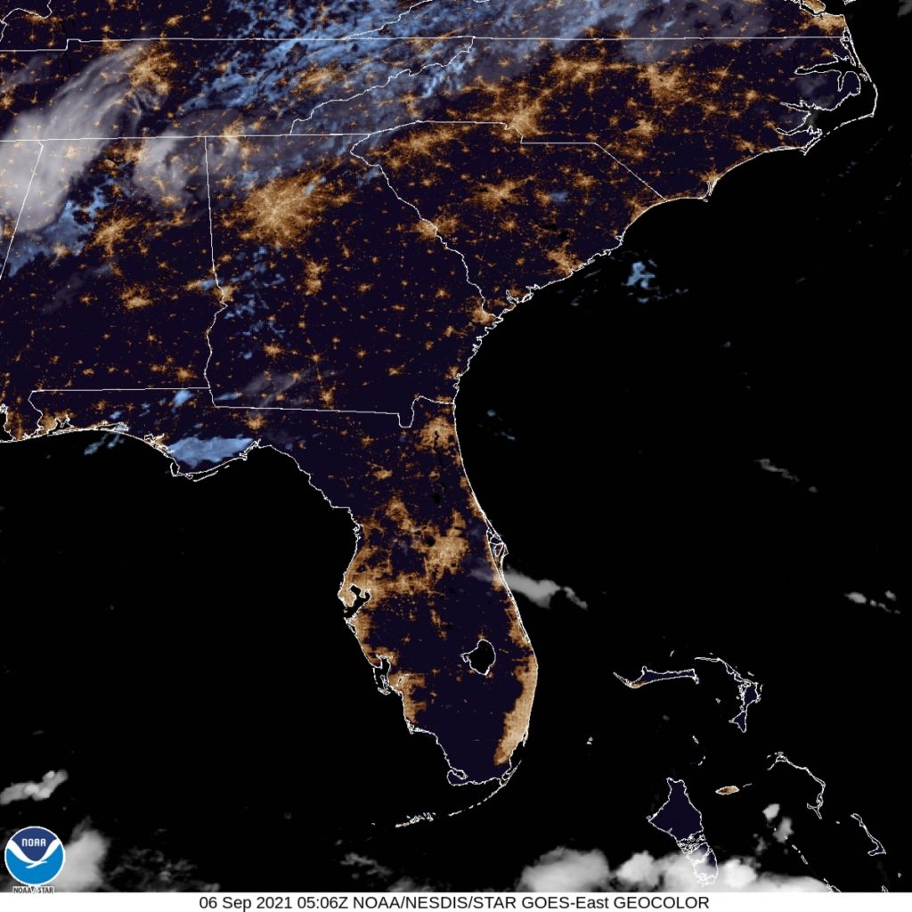
At 1253AM, ET, Gainesville was reporting clear skies and a temperature of 75 degrees. Generally pleasant conditions were in place across the Sunshine state, with a few spots of clouds. Morning haze is probably on the horizon, given the typically high dew points and the clear overnight conditions. Low pressure was present in the Gulf of Mexico, but it doesn’t pose a likely tropical threat. Flow, however, was derived in part from the low in the Gulf, and was associated with via a long range of baroclinicity, with a system in Canadian Maritimes. The southwest to northeast flow is going to be a fixture over north Florida for the week. The threat for showers and thunderstorms will increase later in the week, but some pop up afternoon storms will be possible on Monday and Tuesday as well. Tomorrow – Mostly sunny, with isolated thunderstorms, High 92, Low 72 Tuesday – Scattered showers with thunderstorms, High 91, Low 72
TWC: Tomorrow – Except for a few afternoon clouds, mainly sunny. A stray shower or thunderstorm is possible. High 89, Low 71 Tuesday – Partial cloudiness early, with scattered showers and thunderstorms in the afternoon. High 90, Low 72
AW: Tomorrow – Periods of clouds and sunshine High 88, Low 71 Tuesday – Sun and some clouds with a thunderstorm in a couple of spots in the afternoon High 88, Low 72
NWS: Tomorrow – A 20 percent chance of showers and thunderstorms after 2pm. Mostly sunny, High 91, Low 69 Tuesday – A 50 percent chance of showers and thunderstorms after 2pm. Patchy fog between 7am and 8am. Otherwise, sunny, High 90, Low 72
WB: Tomorrow – Patchy fog in the morning. Partly cloudy with a chance of showers and a slight chance of thunderstorms, High 88, Low 72 Tuesday – Sunny in the morning then partly cloudy with a 50 percent chance of showers and thunderstorms in the afternoon. High 88, Low 73
WN: Tomorrow – Partly cloudy with isolated thunderstorms, High 90, Low 70 Tuesday – Partly cloudy with isolated thunderstorms, High 90, Low 72
FIO: Tomorrow – Humid and partly cloudy throughout the day. High 89, Low 72 Tuesday – Possible light rain in the evening. High 87, Low 73
All of us are dancing around the same numbers. I am going warmer this afternoon, but others don’t believe the guidance like me. Anywho, here is the satellite imagery for this evening across Florida. Not much that far south.