Last weekend, Elizabethtown‘s forecast was up in the air. After a clear morning on Saturday, many outlets disagreed as to what twists and turns the northern Kentucky town would take. It did start on the cool side, which was the initial bone of contention, but then, clouds laden with some very light rain dictated the afternoon temperatures as well. Those that foresaw the precipitation also tended to call for cooler temperatures, but it certainly wasn’t a consensus. While they didn’t have the best overall temperature outlook, their call for rain gave Weatherbug the prize for the day. Actuals: April 17th – .05 inches of rain, High 55, Low 41 April 18th – Rain reported, not measured, High 62, Low 34
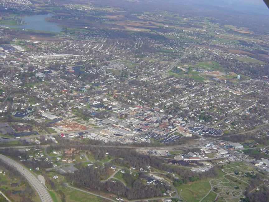
It takes less than an hour to get from Louisville to Elizabethtown. The real intrigue is whether or not you want to take a more westerly tact through Fort Knox, but really, it’s just a 44.6 mile drive at a pace of, as I’m sure you guessed, just over 60mph. Let’s knock out this commute.
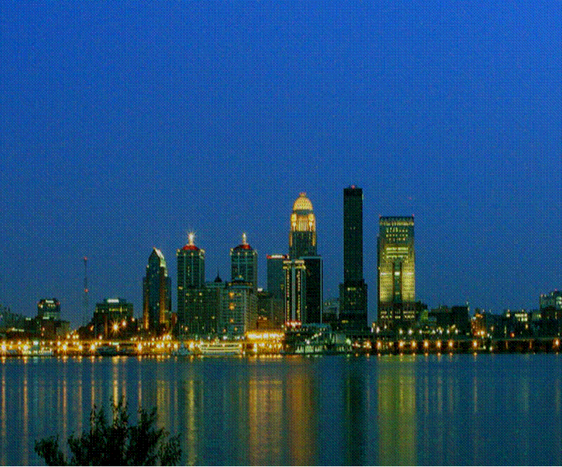
Louisville Kentucky
By tomorrow morning, a lost batch of moisture in the Ohio Valley may or may not touch off some showers in western Kentucky. That’s only if the GFS gets it right, because other outlets are pretty dry. We’ll respect the venerable GFS though, and suggest clouds will be possible on the drive down to Elizabethtown.
We were just in Kentucky for our last forecast, and today, we are going just down the road, staying in the Bluegrass State.
At 155AM, ET, Elizabethtown was reporting a temperature of 45 degrees with mostly cloudy skies. There is a remnant disturbance over the the center of the country that is providing clouds and some light rain to parts of the Lower Mississippi Valley. A seasonably strong jet streak lay just north of the Gulf of Mexico, and was reflected by the tail of a cold front along the Gulf Coast which was working to prevent much moisture from filtering into the middle of the country. As a result, the already weak feature was even less potent than it’s dynamics suggested. This aimless bit of moisture and energy has a very modest low level trough running from the eastern Great Lakes towards the Ozarks, and won’t be compelled to move. Instead, it will be lost between a resurgent area of low pressure developing along the Gulf front and a trough descending from Canada. Without a fresh infusion of moisture, or a terribly volatile trigger mechanism, expect little, if any precipitation in the area, with partly to mostly cloudy skies. Tomorrow – Mostly cloudy, High 61, Low 40 Sunday – Mostly cloudy, High 63, Low 37
TWC: Tomorrow – Overcast. High 60, Low 42 Sunday – Sunshine in the morning followed by mostly cloudy skies during the afternoon. High 63, Low 38
AW: Tomorrow – Mostly cloudy with a shower in places High 60, Low 44 Sunday – Mainly cloudy with a shower in places High 63, Low 42
NWS: Tomorrow -Mostly cloudy (10%chance of early showers), High 59, Low 44 Sunday – A 20 percent chance of showers after 2pm. Partly sunny, High 62, Low 40
WB: Tomorrow – Mostly cloudy with a 20% chance of showers, High 58, Low 44 Sunday – Partly cloudy with a 20% chance of showers, High 61, Low 39
WN: Tomorrow – Mostly cloudy, High 60, Low 46 Sunday – Partly cloudy, High 62, Low 40
FIO: Tomorrow – Overcast throughout the day., High 56 Low 44 Sunday – Partly cloudy throughout the day. High 64, Low 36
It’s always an interesting day when the forecast even features different precipitation forecasts. With some clear sky peaking through, I think the temperature has room to drop over night. That is the first question for this forecast!