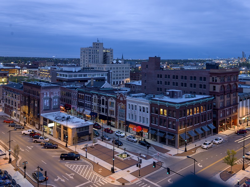
I couldn’t think of a very good one liner about Bowling, Green or even the Corvette Museum in the city of Bowling Green, not that “good” is usually our qualifier. I just wanted to get to the point: We had a decent enough day forecasting in a couple of sunny days in Bowling Green last Wednesday and Thursday, which allowed for a pretty good baseline for these forecasts. It was Weatherbug, who had at least 12 hours of perfect forecasting over the forecast period, that earned a forecasting victory. Actuals: October 11th, Hough 70, Low 44 October 12th, High 79, Low 51
Hey, weren’t we just forecasting in Indiana the other day? It will be interesting to see what can change in just a couple of days.
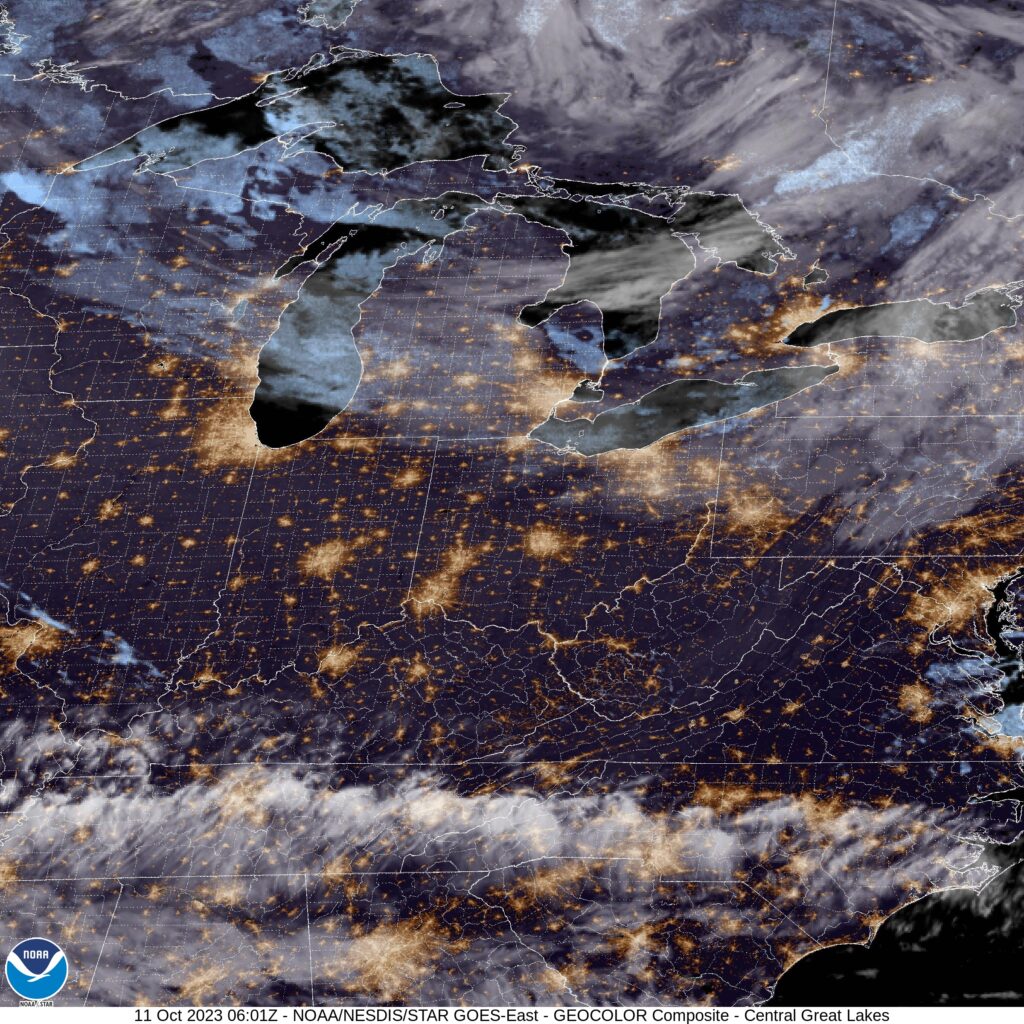
At 1053PM, CT, Bowling Green was reporting a temperature of 47 degrees with clear skies. The cooler regime that has embraced the Great Lakes and Ohio Valley in the wake of Philippe on the east coast has remained in place over Kentucky, an the clear nights will only serve to make things even chillier. Two features bear watching that will bring an end to the crisp weather. The first is a strong fall system emerging in the High Plains, and the second is crossing Mexico. Hurricane Lidia, a Pacific storm will move through the northern Gulf towards the Florida Panhandle over the next 24 hours. The warm front associated with the High Plains system will drive warm air northward through Kentucky, but the remnants of Lidia will intercept any Gulf moisture before it reaches Bowling Green. Tomorrow – Mostly sunny, High 74, Low 43 Thursday – Partly cloudy, High 79, Low 55
TWC: Tomorrow – Overcast. High 74, Low 43 Thursday – Sunny skies. High 82, Low 53
AW: Tomorrow – Nice with partial sunshine High 77, Low 44 Thursday – Partly sunny and warm High 82, Low 53
NWS: Tomorrow – Mostly cloudy, High 76, Low 44 Thursday – Sunny, High 79, Low 53
WB: Tomorrow – Mostly cloudy, High 72, Low 44 Thursday – Sunny, High 79, Low 53
WN: Tomorrow – Mostly sunny, High 77, Low 46 Thursday – Mostly sunny, High 79, Low 54
FIO: Tomorrow – Mostly cloudy, High 75, Low 44 Thursday – Sunny, High 82, Low 56
Clouds are encroaching from the south, but aren’t to Bowling Green quite yet.
You… you want to go for a drive? Tomorrow, in the Ohio Valley? Good luck with all that. If you insist on taking this trip it will cover 287 miles and in good conditions, would take a little over 5 hours. These will not be good conditions. The pace would be set at about 55mph, but it will be slower driving tomorrow through this part of the country. I can’t recommend in stronger terms that you do not actually make this drive tomorrow.
Decatur, Illinois
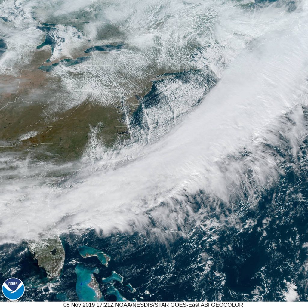
We’re watching a massive storm, with blizzard implications in the northern US charging towards the Great Lakes. The system will look like a typical summer time system, and the cold front will charge into Decatur shortly after noon. We’ll already be about to Effingham when it arrives, and this snow will arrive with some intensity. Snow totals will be lighter because there are warmer temperatures than further to the north, but winds will be very strong. There could be a little bit of rain before we see clear skies again, think around Evansville, with dry conditions returning in Kntucky. While in Bowling Green, though, all hell will again break loose, so hunker down.
Bowling Green was in the clutches of our first dose of Arctic air when we visited on Friday, but the weekend provided respite. High temperatures surged into the 60s on Sunday, touching a total that was even warmer than forecasts indicated. Of course, this week it’s all coming back down again, but for the days that counted, Bowling Green was able to enjoy the balmy conditions. The atypically warm Weatherbug had the top forecast for the day. Actuals: Saturday – High 52, Low 25 Sunday – High 66, Low 39
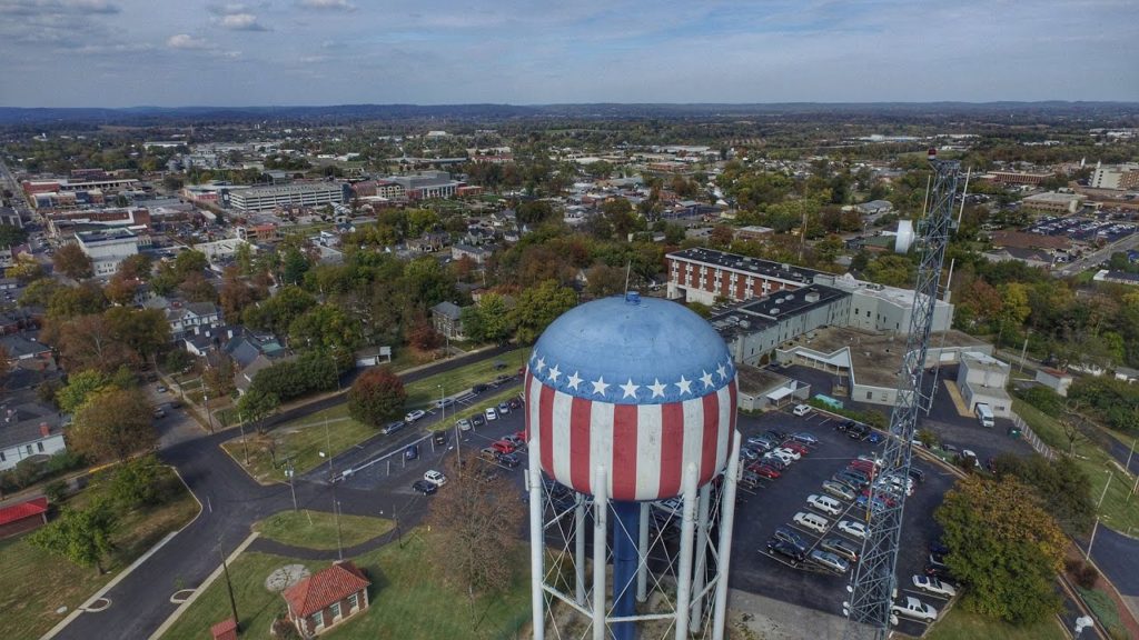
There are two Bowling Greens that I can think of. One is in Ohio, and the other is in southern Kentucky. Apparently, lawn bowling is a big deal in the Ohio Valley.
At 953AM, CT, Bowling Green was reporting a temperature of 34 degrees with clear skies. Things were unseasonably cold across most of the eastern United States under a stout dome of high pressure that has been in place for a couple of days now, but will offer a brief moment of respite in the next couple of days. A bit of a thermal ridge is going to develop across the Ohio Valley, though the region is more broadly underneath an upper level trough, reactive to any perturbations along it’s path. One such wave will move southeast out of Alberta into the northern High Plains as the weekend continues. By early next week, it will mean precipitation for the Bowling Green area, but in the interim, simply expect a warmer return flow. Tomorrow – Sunny, High 54, Low 23 Sunday – A few clouds, even warmer, High 64, Low 36
TWC: Tomorrow – Sunny, High 53, Low 22 Sunday – Sunny, High 64, Low 36
AW: Tomorrow – Plenty of sunshine, High 52, Low 20 Sunday – Plenty of Sunshine, High 63, Low 34
NWS: Tomorrow – Sunny High 52, Low 23 Sunday – Sunny high 60, Low 34
WB: Tomorrow – Sunny high 52, Low 23 Sunday – Mostly sunny, High 63, low 37
WN: Tomorrow -Sunny, High 52, Low 23 Sunday – Mostly sunny, High 60, Low 34
FIO: Tomorrow – Clear throughout the day. High 55, Low 23 Sunday – Clear throughout the day. high 64, Low 34
The weather is looking pretty nice for the weekend. It will be a good time to get out and take care of the leaves in the yard, I would say. The weather is going to take a turn again early next week. For the time being, take a look at the satellite. The white in Michigan is actually fresh snow.