
The tornado season has been off to a lively start. 2022 has already seen deadly tornadoes, most notably in Winterset, Iowa last month, but fortunately, we haven’t had any that were historic in their catastrophe. As we forecast in Joplin, however, it’s a reminder for all of us to be prepared, especially this time of year, and in this part of the country.
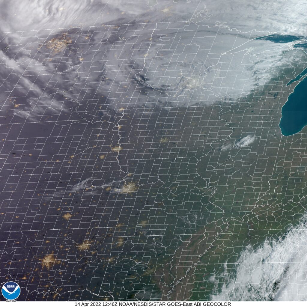
At 753AM, CT, Joplin was reporting clear skies and a temperature of 33 degrees. the late season cold, amid clear skies behind a strong cold front has lead to many frost and freeze advisories in western Missouri, northwest Arkansas, Kansas and Oklahoma. The large area of low pressure responsible for the adventuresome weather in the middle of the country this week is now parked over the Great Lakes. The only satellite evidence in the Plains is a few puffs of clouds from Rockford, Illinois to Topeka Kansas, which will likely not develop into anything, and will certainly leave Joplin alone.
Fortunately, with spring having arrived, the clear skies will mean a warming trend, even with the cold air mass presently in southwest Missouri. A deep trough lies over the northern US, fostering the strong feature referenced earlier, but another ridge is rising through the southern Rockies. By Friday evening, convergence area of the two jets will become active with showers and isolated storms, with low pressure developing in the Lower Mississippi Valley. This will be primarily flow driven, rather than air mass driven, so cold air is not going to arrive in Joplin on Saturday. Because of that, the northwest flank of the storm will still feature a little bit of convection, intermittently on Saturday.
Tomorrow – Increasing clouds, with an isolated shower. Chances increasing late. High 71, Low 45
Saturday – Showers with isolated thunderstorms, mostly cloudy, High 64, Low 48
TWC: Tomorrow – Rain showers in the morning with scattered thunderstorms arriving in the afternoon. High 73, Low 50
Saturday – Sunshine and clouds mixed. High 63, Low 47
AW: Tomorrow – Breezy in the morning; otherwise, cloudy with a shower in spots in the afternoon High 70, Low 49
Saturday – Mostly cloudy and breezy with a passing shower High 63, low 47
NWS: Tomorrow – A 30 percent chance of showers and thunderstorms after 8am. Mostly cloudy, High 72, low 49
Saturday – Mostly sunny (early rain), High 61, Low 40
WB: Tomorrow – Breezy. Mostly cloudy with a 30 percent chance of showers and thunderstorms, High 68, low 49
Saturday – Cooler. Partly cloudy. A 20 percent chance of showers in the morning, High 62, Low 50
WN: Tomorrow – Mostly cloudy, High 72, Low 36
Saturday – Partly cloudy with light rain showers, High 61, Low 46
FIO: Tomorrow – Overcast throughout the day. High 72, Low 48
Saturday – Possible light rain in the morning High 62, Low 47
Weathernation is going far afield from the rest of the outlets. I had to recheck their low temperature multiple times. Satellite is pretty clear, except for that band of clouds I noted.
Comment (1)