
We are starting the year as urgently as possible, as this forecast will post just as the day turns to 2022. Erie is right in the middle of the south shore of the lake that bears its name, and is susceptible to lake effect snow this time of year. Will Erie start 2022 on a snowy note?
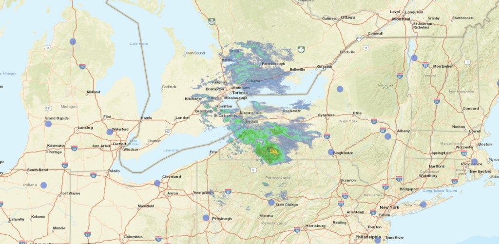
At 1211AM, ET, Erie was reporting a temperature of 47 degrees with light rain. Heavier rain was falling between Erie and Buffalo than in either of those cities, but with temperatures warm enough even at this early hour, the threat for snow to accompany the rain can be ignored. A cold front lies through southern Ontario, helping to generate the few showers on the southeast side of Lake Erie, but a broad, distended area of low pressure stretches along the Ohio Valley, and is a focal point for more robust showers, with some thunderstorms on the south side of this feature.
For at least the next day or so, these two features will run in parallel. The low over the Ohio Valley will slide just to the south of the cold front, holding the boundary in place the whole while. As the Ohio Valley feature shifts into the Canadian Maritimes, the front will start to shift a little bit more to the southeast, bringing about colder air and a significant threat for snow, somewhat amplified by the Lake. After holding steady through the mid afternoon tomorrow, temperatures will get steadily colder, and are likely to be non standard through the weekend.
Tomorrow – Scattered showers, overcast, High 49, Low 42
Sunday – Early rain, followed by snow through the day, High 42, Low 27
TWC: Tomorrow – Showers early, becoming a steady rain later in the day. High 51, Low 38
Sunday – Snow during the morning will transition to snow showers during the afternoon. High 38, Low 25
AW: Tomorrow – A thick cloud cover and mild with a little rain; a wet start to the new year High 50, Low 38
Sunday – Rather cloudy and colder with snow showers, accumulating an inch or two High 39, Low 25
NWS: Tomorrow – A chance of showers before 2pm, then rain likely, mainly after 4pm. Cloudy, High 51, Low 40
Sunday – Rain and snow showers, becoming all snow after 11am. High 40, Low 27
WB: Tomorrow – Cloudy. Patchy fog in the morning. A chance of showers in the morning, then rain in the afternoon. High 50, Low 37
Sunday – Rain showers in the morning. Snow showers. Light snow accumulation. High 37, Low 25
WN: Tomorrow – Cloudy with light rain, High 51, Low 39
Sunday – Mostly cloudy with a light wintry mix, High 39, Low 32
FIO: Tomorrow – Rain until night, starting again in the afternoon. High 47, Low 36
Sunday – Possible light rain (with a chance of 1–2 in. of snow) overnight and in the morning. High 37, Low 22
WeatherNation with a rough start for the year, having the shortest hourly forecast. Of course, it is longer than it used to be, so their forecast is going to be better than we are accustomed to. Radar is most active northeast of Erie. Happy New Year!
Comment (1)