Some of the most vibrant and horrible images of the last few weeks have been from the west coast, where smoke from fires had polluted the skies, turning cities from Seattle to the Bay Area an eerie, haunted shade of red.
After the conflagrations had exploded across he region, under a high pressure regime that trapped the ash and haze near the surface, reducing air quality, visibility and sense of reality. Setting aside the summer long conditions, and climatological deterioration that helped set the ground work for the fires, the high pressure was a short term weather pattern that made things worse over a broader area.
The attendant jet also spilled into the middle of the country, and brought all that smoke with it, rendering most of the country hazy. Fortunately, one feature was going to come through and help with both situations. A trough of low pressure.
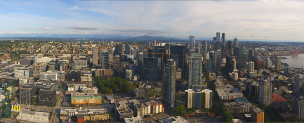
Well hallelujah. Early this weekend, a weak, but still strong enough area of low pressure came through the area and scoured the atmosphere of smoke and ash and made life and the air a bit more livable. This is a recent capture from the Space Needle’s skycam.

Not only does this removed the smoke from Seattle, but also removes it from the jet stream, clearing skies through the Midwest as well.
Hopefully, the worst is over, even as fires rage in the Cascades. At least, the impact is no longer felt as severely for as far away as it was earlier this month.
