Hello, and happy weekend! In the dead heat of summer, a road trip across the southern US sounds like the last thing one might want to do, but frankly, most cars have functioning air conditioning, so why not? It will take us a surprisingly swift 4 days at a pace of 70+mph, which is pretty close to our top speed, maybe ever. This will allow us to cover the 2176 miles between the towns in 561 mile chunks (a little less, somehow, on Day 4). Let’s blow the doors off this thing, huh?
DAY ONE (Saturday)

Thunderstorms are raging in the Plains tonight, from Colorado and Nebraska southeast through Iowa and Illinois. They will continue to shift to the east southeast through the day. Bad news for the middle of the country but good news for drivers on the Gulf Coast. The showers and storms will be focused along this axis of instability, and will steer clear of the immediate Gulf Coast, leaving only a little bit of spotty activity between Mobile and New Orleans, but not much else. Our day will end on the east side of Lake Charles, still reeling from the last hurricane season. Thankfully, we’ve been quiet so far.
DAY TWO (Sunday)
That feature in the middle of the country is going to slow down and wind up over the weekend. A cold front will develop over north Texas and become evident by the evening in the Dallas area, but we aren’t driving through north Texas or Dallas. It will stay Texas hot and Texas dry in the southern part of the state. We’ll get just west of Ozona before we conclude our drive for Sunday.
DAY THREE (Monday)
The drive will continue through mostly pleasant conditions on Monday, but the seasonal monsoon is underway out west. The slightly elevated ground along the New Mexico – Arizona border could provide some fertile ground for scattered thunderstorms, and we might see a splash west of Lordstown, New Mexico. They will mostly be wrapped up, but still possible as we slide into Wilcox, east of Tucson.
DAY FOUR (Tuesday)
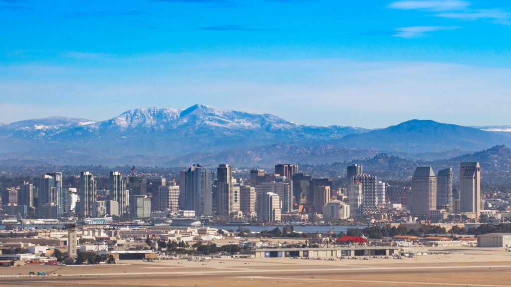
A similar pattern is expected for Tuesday. Importantly, this means that showers and storms will wait until late in the day to develop, and will generally be confined to the same spots on Tuesday as they were on Monday. That is to say, they will be most likely in the New Mexico/Arizona border region, which we will long be out of by the time thunderstorms develop. It’s just the hot, dry desert for us through Arizona and inland California, with the pearl at the end of the drive, beautiful San Diego.