Rain was inundating the mid Atlantic when we forecast for Lancaster on the 10th. Over an inch fell on the 11th, which belied the 60 degree high temperature. Those 60s also didn’t stick around. The 12th got quite a bit chillier, about 25 degrees so, but at least it stayed dry! The forecast was handled pretty well all around, but Accuweather stood out a bit on the competition. Actuals: December 11th, 1.14″ of rain, high 61, Low 37 December 12th, High 38, Low 24
It’s a classic cross country trek today, as we voyage from west to east over the course of 5 days. It’s 2813 miles between the two cities, and our pace will be about 67mph. Our 8 hour drives every day (for the first 4 days, anyway) will be about 535.8 miles. It’s December, so let’s hope the weather holds!
DAY ONE (Thursday)
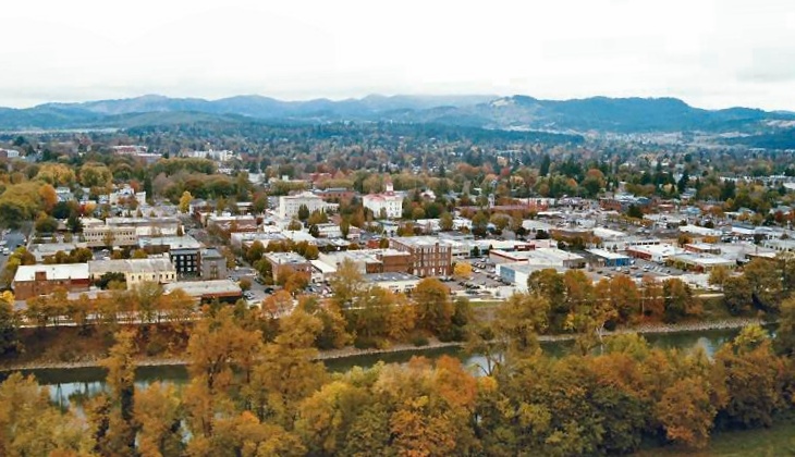
Corvallis, Oregon
Long days are ahead, and we will be losing hours as we had eastward. Day one will see us pass from Pacific to Mountain time, and also from damp to dry conditions. A bundle of energy is moving into the Oregon coast overnight, and some of the light rain and fog is going to linger in the Cascades as we start the day. If we climb high enough, we will probably see some flakes as well. The moisture looks to be trapped east of the Cascades, about as far east as Juntara. If we can make it to Juntara, we will make it to clearer skies. The crossing into Idaho will be fine, as will navigating the Boise area. The drive will end in Tuttle, in southern Idaho.
DAY TWO (Friday) The system won’t maintain it’s energy as it presses eastward, partially because of the terrain, and partly because the stronger energy is consolidating southwest of Vancouver Island. Still, there may be some valley fog in Idaho, especially early, but northern Utah and southern Wyoming are under high pressure. The day will end in Elk Mountain, Wyoming.
DAY THREE (Saturday) As we rest in Elk Mountain, the atmosphere will be churning in the Plains. An area of low pressure will begin to emerge in western Kansas and start pulling cooler air southwards and moist air to the north. We will be chasing the precipitation by late afternoon in Nebraska, and never quite catch it, but this development will introduce some chillier temperatures. Bundle up as we conclude the day in Pleasant Dale, Nebraska, just west of Lincoln.
DAY FOUR (Sunday) False alarm, everyone! The wet weather and what not that had been feared is going to march further east much quicker than we will. Whew! This will be the most civilization we will have seen on this trip so far, as we will pass through Omaha, Des Moines, the Quad Cities and end up in Chicago by the time the day is in. It will have rained in Chicago in the morning, and who knows if that will lead to carry over traffic concerns, but if we get too exhausted, it’s all right because South Holland, just before the Indiana line, is our destination for the evening.
DAY FIVE (Monday) It appears as the Plains are just fixing to be active this December. Low pressure is developing in the southern Plains (again) on Monday. It will be stronger and rainier than the previous version, and a little bit further to the east. Could we catch some of it? If we do, that would be bad luck, and also, we should get out of any rain before we reach South Bend. The drive through Ohio will be dry, and we won’t have any precip problems in Pennsylvania. Maybe a lingering spot of valley fog as moisture from the initial low works it’s way into New England, but otherwise it will be unseasonably pleasant in Lancaster as we arrive.
Welcome to mid-December. A cold front is pressing towards the eastern Seaboard this evening, so it appears as this forecast will have the FEEL of a mid-December forecast. As it should.
At 1253AM, ET, Lancaster was reporting a temperature of 52 degrees with overcast skies. Rain was not presently being reported in the area, but it was certainly all around. The next batch of precipitation will be moving in from the southwest, were showers are being reported in York. A sharp trough in the eastern third of the country is the culprit behind a still evolving area of surface low pressure centered in the western Carolinas. It was pumping moisture northward, and will continue to until the low itself moves through midday tomorrow. After this point, cold air will start rushing in in earnest. The coldest air and the precipitation don’t quite overlap, so snow in southeastern Pennsylvania, while not impossible, is unlikely. The brisk upper level flow will lead to Lake effect snow in the eastern Great Lakes and still gloomy conditions in Lancaster for Thursday. Tomorrow – Rain through the morning, ending with a wintry mix in the afternoon, High 59, Low 33 Thursday – Cloudy, windy and colder, High 38, Low 26
TWC: Tomorrow – Periods of rain High 62, Low 35 Thursday – Some clouds in the morning will give way to mainly sunny skies for the afternoon. High 37, Low 26
AW: Tomorrow – Mild with heavy rain and a t-storm; windy this afternoon; worsening travel conditions throughout the day; flooding, damaging winds and power outages possible High 61, Low 36 Thursday – Windy and much colder with partial sunshine High 37, Low 27
NWS: Tomorrow – Rain. High 61, Low 34 Thursday – Sunny, High 35, Low 25
WB: Tomorrow – Rain, Unseasonably warm, High 57, Low 35 Thursday – Sunny, Much cooler, High 35, Low 27
WN: Tomorrow – Cloudy with Rain, High 61, Low 34 Thursday – Mostly sunny, High 34, Low 25
CLI: Uh oh
Two forecasts in a row where Clime is not working. Uh oh indeed.
It’s a rainy one out east! All forecasts, every day, are non standard.
After a couple of short trips, we had a very long trip. Now, we can settle somewhere in the middle, with this 2 1/2 day trip. Storm chasing is still a thing even in these strange times, and I could imagine someone having a successful chase based out of Lawton last night, then wanting to take the 1,446 mile journey home to tell stories about the storms they saw near the Red River. The drive will cover 67.5mph and those first two days will be through after about 540 miles on the highway.
DAY ONE (Sunday)
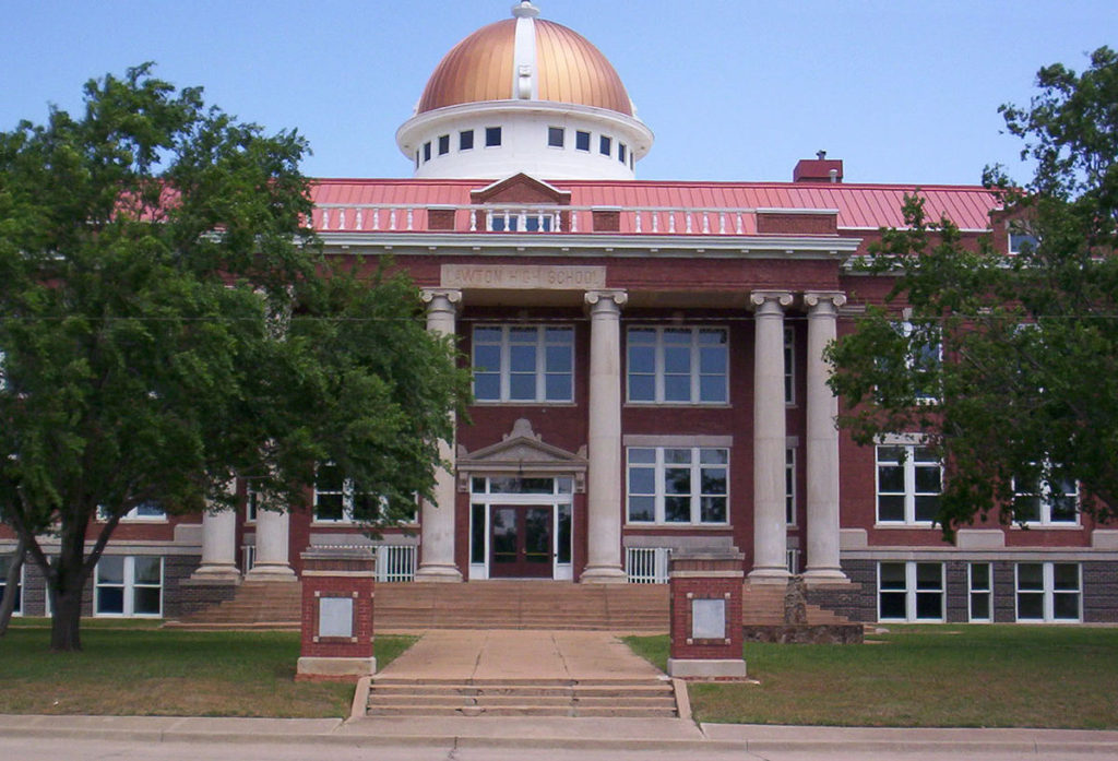
Lawton, Oklahoma
To say the pattern is turbulent in the center of the country is a bit of an understatement. Successive short waves keep spiraling through the northern Plains, which draw moisture and instability through the central and southern Plains. There isn’t so much forcing that I would suggest there might be a severe weather outbreak on Sunday, but I would be surprised if it didn’t rain somewhere along the way. Light rain will be possible around Lawton as we head out, with a break through Oklahoma City and Tulsa, but there will be increasing chances for pop up thunderstorms by the time we hit the afternoon and Missouri. The best threat will be between Springfield and Rolla, but really, they will be aimless, and the possibility will continue to St. Clair, our destination for night one.
DAY TWO (Monday) The entire Ohio Valley is going to become increasingly humid and warm. There might be a stray pop up shower or thunderstorm virtually anywhere during our drive from St. Clair, but the threat will naturally rise with the temperature as the day progresses. Still, the most active weather will be reorganizing to our west, so I don’t foresee anything more significant than a localized downpour. and the majority of the day will be warm and dry, but perhaps incredibly humid. Our day concludes in Jacksontown, Ohio, which is to the east of Columbus.
DAY THREE (Tuesday) For the final day of our trip, we have a little bit better news. The low level moisture associated with all the disorganized action in the center of the country will be unable to penetrate Appalachia, and we are right on the doorstep of Appalachia. The threat for some rain likely won’t stretch further east than Zanesville, and the rest of the drive will be beset by nothing other than scenery and mountainside Americana. Lancaster should be appropriately late-springlike.