I’m always interested in the more diagonal routes. They take us over terrain we don’t always get to see. Such is the case with this ride, which will take about 2 1/2 days through the Rockies and High Plains. We’ll cover 1457 miles at a pace of nearly 70mph. The drive will conclude at the end of the first two days after 555 miles of sincerely wide open terrain.
DAY ONE (Tuesday)
It’s extremely dry across so much of the country, and it has led to wildfires blanketing the country in smoke. Our route is affected by the smoke, even, with parts of US 212 closed because of the fires, requiring a trip through Wyoming on I-90. We’ll make it to Whitewood, South Dakota, in the Black Hills before the drive is over. A lobe of low pressure will swing into the Northern Rockies, and will bring rain to western Montana. We’ll stay dry in Whitewood, and throughout our drive.
DAY TWO (Wednesday)
Low pressure is going to deepen quickly in the High Plains east of the Rocky Mountains, but through the day in South Dakota and south into Iowa, the feature will only function to drive hot humid air north. Brisk, hot winds are expected, but the low isn’t going to move anywhere, so precipitation is not anticipated.
DAY THREE (Thursday)
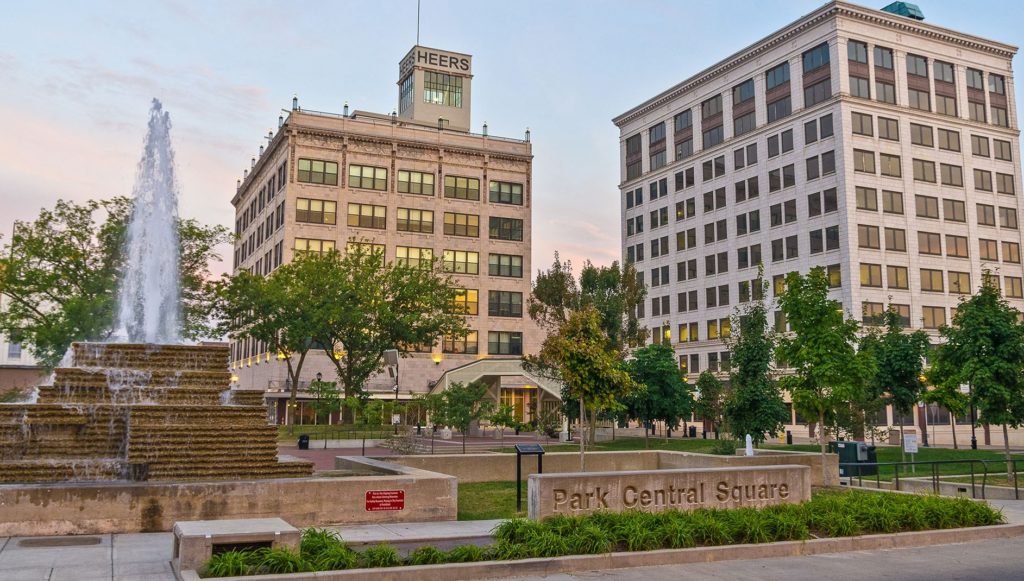
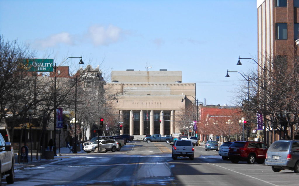
The Gulf will be opened by the aggressive southerly flow, and showers with isolated thunderstorms are expected to start bubbling northward. Showers with a few rumbles of thunder are possible from Kansas City south to Springfield