
We are two days before Thanksgiving, and if you are like me, and many people are, you are going to be traveling. The biggest travel period starts today, with return trips coming from Friday through the weekend.
Today and this afternoon, most of the country is going to be great for taking the trek to see family and loved ones. The exception is the Pacific Northwest, where a round of mountain snow and rain across Puget Sound could make any passages across the Cascades tricky. If you are in Seattle and have loved ones in Yakima, make sure to check conditions in Snoqualmie before you head out!
The rough weather in Washington will be short lived, though, and tomorrow looks even better for travel. There will be a bit of a return flow through the Red River Valley which may mean some light rain in Dallas, while the snow seen in Washington will diminish to just a few mountain flakes in the northern Rockies of Montana and Wyoming.
These two features portend a trickier trek home, however. The combination of low pressure emerging in the northern Plains and moisture arriving in the southern Plains are going to fuel rain and thunderstorms from the Piney Woods to the Lower Mississippi Valley by the time dinner wraps up on Thanksgiving. Storms could get a little heavy from Corpus Christi to Houston, so be on the look out deep in Texas.
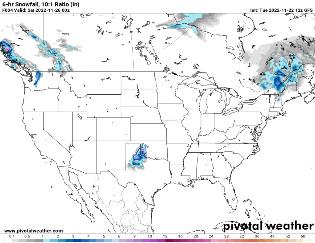
Black Friday will be a gray Friday across much of the Lower Mississippi Valley. Persistent rain and thunderstorms will be possible from Louisiana to Mississippi and steadily increase eastward to Georgia and the Florida Panhandle. On the back side of this feature, I wouldn’t rule out some snow mixing around Lubbock and Lawton. On the north end, a cold front dangling from CAnada will move from northeast Minnesota and charge east towards the Great Lakes and ultimately land in New England by evening. It should be warm enough that rain will fall in the Great Lakes, but don’t be surprised to see snow in northern New England on Friday evening.
The low pressure bringing snow potentials to Texas will fill with warmer air, and tamp out the snow threat. Still, rain, heavy at times, will become increasingly likely through the mid Mississippi Valley eastward to Virginia, the Carolinas and Georgia. The steadiest wet weather right now seems to be seeking out St. Louis and Kansas City, but it’s too early to stake this forecast out as gospel truth.
This whole feature is going to really get ugly overnight Saturday into Sunday. It will start to draw on colder air from Canada and the Gulf Stream to ramp up rain and wind. Expect a very rainy start to Sunday from Cape Cod to the Delmarva as what is likely the year’s first Nor’Easter gets organized. Fortunately, it’s likely too warm to be a snow event, but the wind and cold rain will still be unpleasant enough. Rain falling on Buffalo may also lead to some urban flooding.
This system will blast through New England by the time night falls, fortunately, but it will leave behind that cold, windy weather that can only mean that the glad tidings of Thanksgiving are over, and winter is replacing autumn. Elsewhere, the travel period will end as it is starting: snow in the Cascades, but not much else.
Happy Thanksgiving to you and yours. Safe travels!