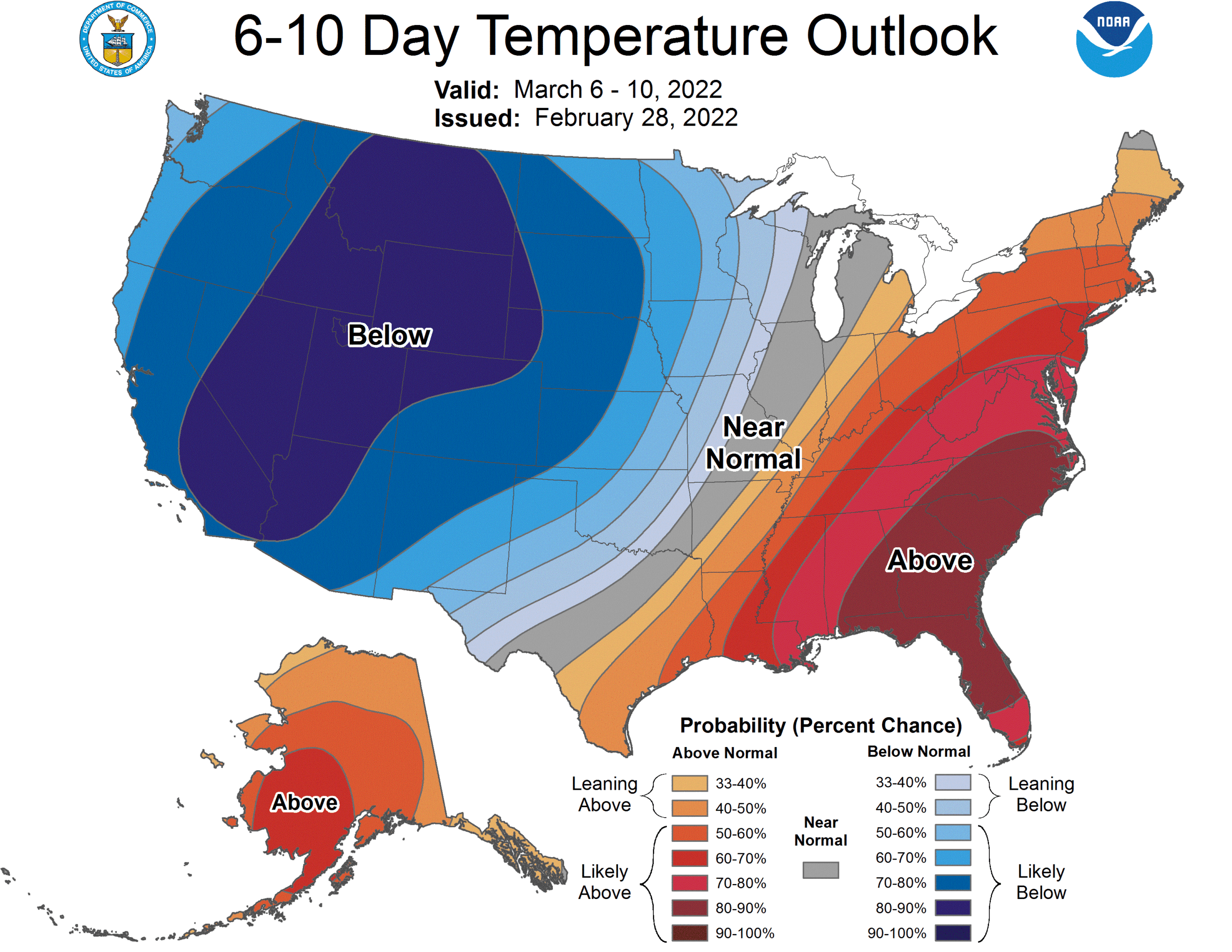
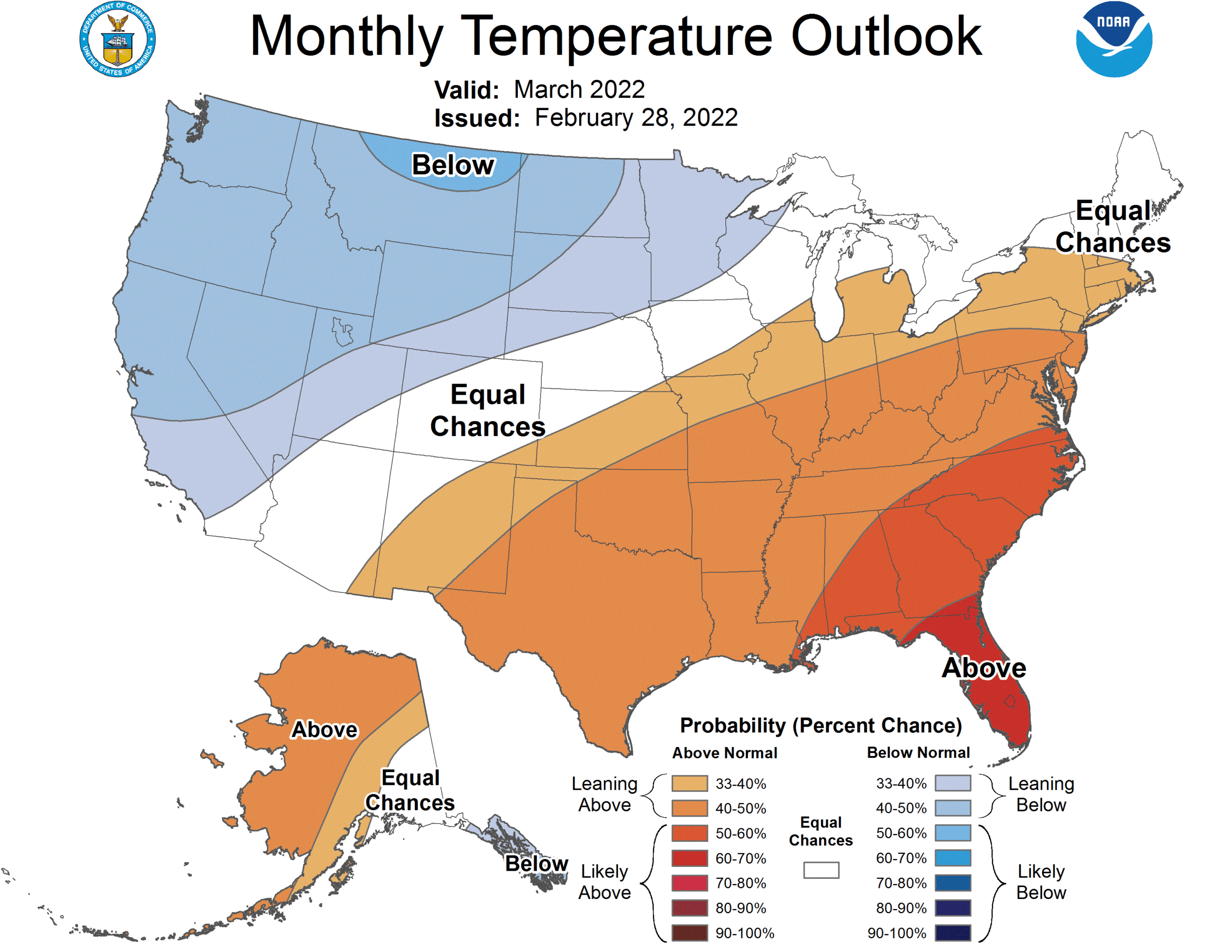
Persistently, for years, the abnormally warm part of the country has been the west. It’s exasperated the drought, fanned wildfires and brought hundreds of millions of dollars of destruction to the region. Finally, the upper level feature preparing to bog down over the western US will be a trough. The long wave, slow moving trough over the western US will ensure below normal temperatures for a large chunk of the Pacific Coast and Rocky Mountains.
The coldest stretch will be in the second week of the month, and there is a good deal of forecast confidence in the below normal temperatures.

The colder weather out west will turn around by the end of the month, as the feature will start to propagate and surely bring severe weather to the Plains, given the temperature change over such a narrow swath of land, showing up even in these long term outlooks. Despite the coming warm up as this broad trough starts moving, the overall outlook for the month of March is for below normal temperatures in the west.

Rain will come to the Pacific Northwest but the trough is going to be far enough east that low pressure will generally develop in the Rockies. Not necessarily a drought buster for California, but perhaps an extension to the ski season will be coming soon.
