
In many summers, I find myself rolling my eyes at other outlets’ analyses of the surface. There is often a stationary boundary, left for days along the Gulf Coast of the US. Perhaps a cold front had descended from the Ohio Valley a week prior, but eventually, you need to call a spade a spade. There is onshore flow, and it causes thunderstorms. Not every boundary is a cold front.
This year, and especially right now, we haven’t been seeing those straggler boundaries populating the coast. Right now, it’s evident that there is an off shore boundary pointing into the Carolinas
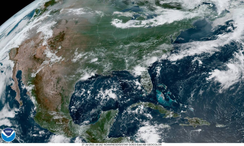
One might be inclined to analyze something along the band of thunderstorms through north Florida, or perhaps even further north on the clearing line from southern Kentucky to central Oklahoma. In fact, most outlets are keeping truncated fronts, and there is a very good reason for that.
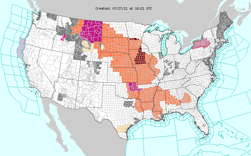
All of those orange and red shades are heat advisories. It is astonishingly hot throughout the Plains and Mississippi Valley. It’s really hard to say there is a cold front when there is a heat wave immediately behind the boundary. The WPC, proponent of the long ranging front, parlays the cold front into a warm front hugging those advisories to the west.
The jet is still somewhat active, but it remains well north of the domestic US. A cooler start to July in the southeast and a blistering start in the north is also starting to level off, but is making for a challenging environment for cold fronts to survive. If a change occurs, it will have to come from the west, which may happen next week.
Comment (1)