I am presently enjoying a vacation with my extended family in the Black Hills of western South Dakota, and we’ve had a bit of active weather in the last couple of nights. Tonight, we were in a severe thunderstorm watch, as a line of thunderstorms swept in from Wyoming and brought rain and marble sized hail to our cabin before getting a boost from the eastern slope of the Black Hills, and accelerated through Rapid City and is now preparing for a voyage through the Plains.
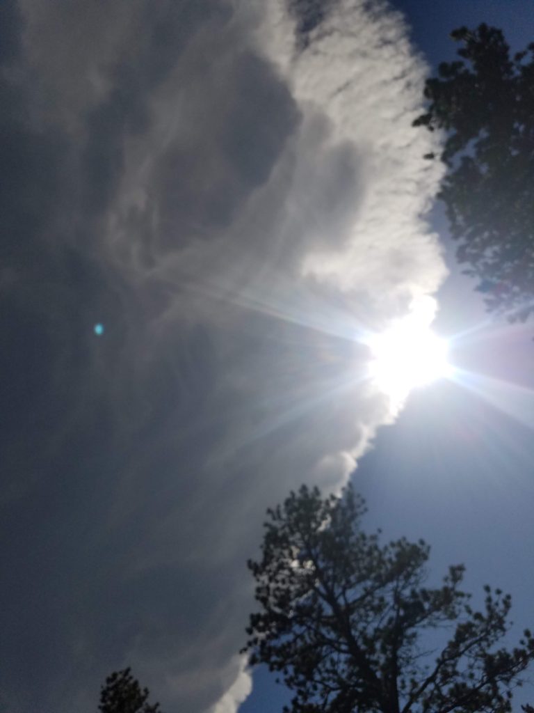
Last night, however, was different. An isolated thunderstorm, aided in part by the very mountain we are staying on, cropped up and stayed in the same spot for well over an hour. Here is the view from just to the north of the storm.

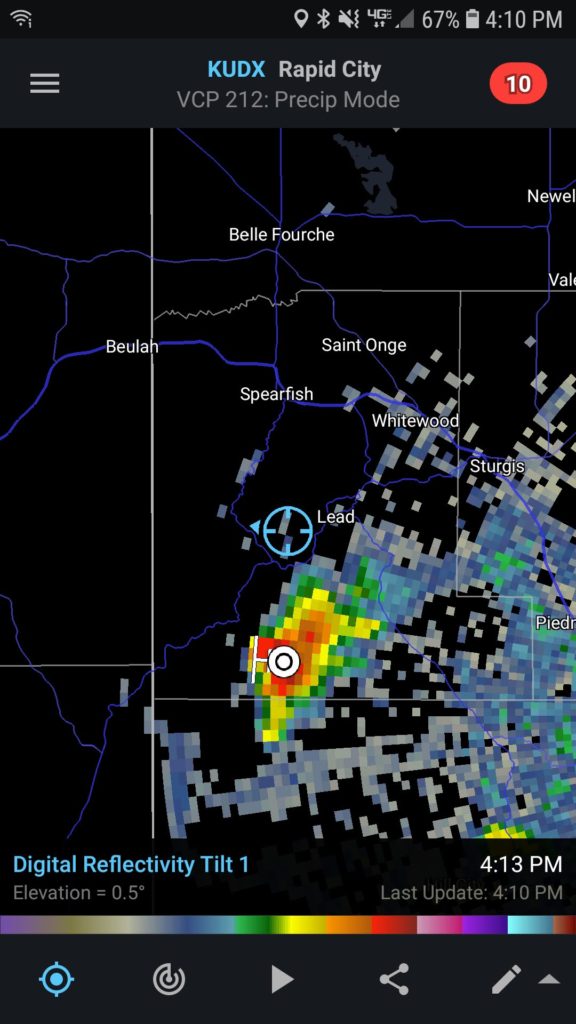
We were almost directly under this storm, and the radar confirmed our suspicions.

The storm did eventually expand and bring some drops of rain, but not as much as points on other faces of the mountain!
It was an interesting thing to see in action, the force of the terrain, and the structure of the storm that produced all of the wet weather to other parts of the mountain was pretty incredible.
