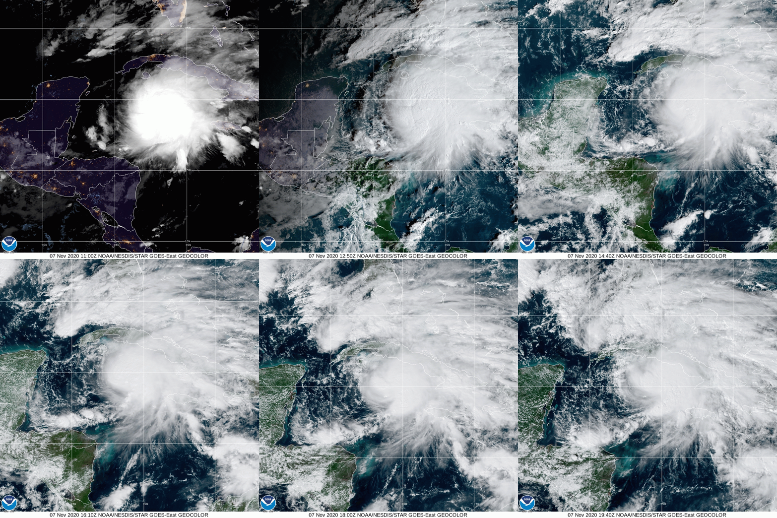
Hurricane Eta plowed into Central America after exploding from a depression to a Category 5 storm in an alarmingly short time frame. It hit Guatemala, Honduras and particularly Nicaragua with vicious winds, but the particularly brutal part of the storm were torrential rains that killed hundreds thanks to flash floods and mudslides in mountainous terrain. The topography of Central America makes the region a death trap during strong tropical storms.
Now, Eta, instead of expiring in the mountains, turned back to the east and is forecast to wind through the Caribbean, hitting a lot of highlights along the way. Part of the reason it is expected to be able to continue on this path, despite a pending bisection of Cuba tonight, and a graze of the Florida Keys in the early part of the week, is how good it continues to look on satellite.

It’s generated quite a bit of convection to it’s north, and because it isn’t as strong as it looked, it will probably continue to feature broad swaths of directionless convection over places like south Florida as it wiggles along the Gulf Coast.
It’s not going to be a major storm in Florida, but it will last a while and be quite a soaker.
