
The tornado season in the southern Plains was a lot quieter than in recent years, and was quieter than normal in general. This is welcome news to all, certainly. We are through May, the peak of the season around Oklahoma City, and well into June, often the time of year things peak in the Upper Midwest. We had some derecho activity in the Black Hills and High Plains in recent weeks, with strong thunderstorms tied in with Cristobal closer to the Great Lakes, but the beginning of June hasn’t been terribly traumatic either.
Strong thunderstorms will be possible as long as there is heat and humidity, however the organization for a large scale tornado outbreak requires some clashing of air masses, which only happens when cold air can invade from Canada. This year, those incursions haven’t been as regular, and 90 degree temperatures seem to be here to say.
For posterity, here is a look at the last bit of a legitimate jet streak that we will see through the rest of the model output, and perhaps for several weeks. This map represents tomorrow morning.
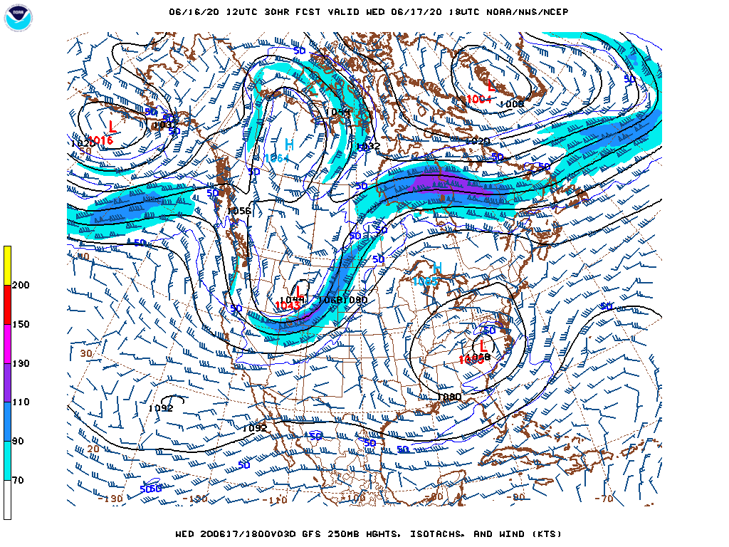
It will create some severe weather in the Dakotas tomorrow, with a little bit of a cool down behind a cold front, but then, the jet and the cold air will reside comfortably in Canada and the Arctic.