
As we noted a couple of days ago, the tropics have been active very early this season, and now, it appears as though the Gulf of Mexico will offer up it’s first tropical storm of the season. Tropical Depression Three is churning in the Bay of Campeche, as seen here on satellite.
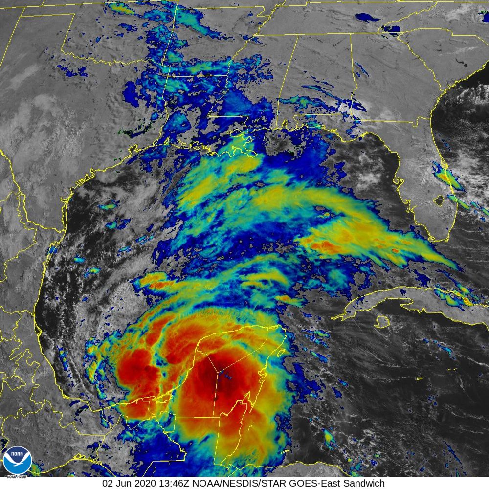
The circulation is just off shore, even as the primary area of convection is quite visibly over the Yucatan Peninsula. This is important, because this will allow the storm to continue to intensify. Models anticipate an intensification to a tropical storm — Cristobal — perhaps even this morning.
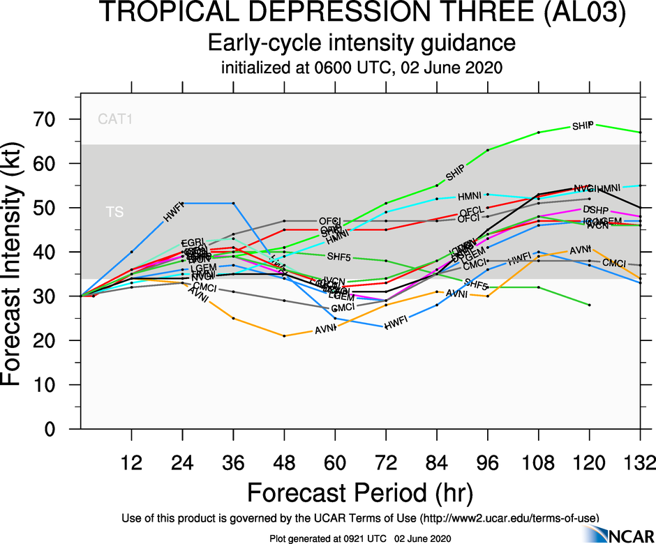
Spaghetti plots have a tendency to underestimate the peak intensity of tropical features, which means that I and many other outlets believe that this storm may even reach hurricane status as it drifts to the Gulf Coast.
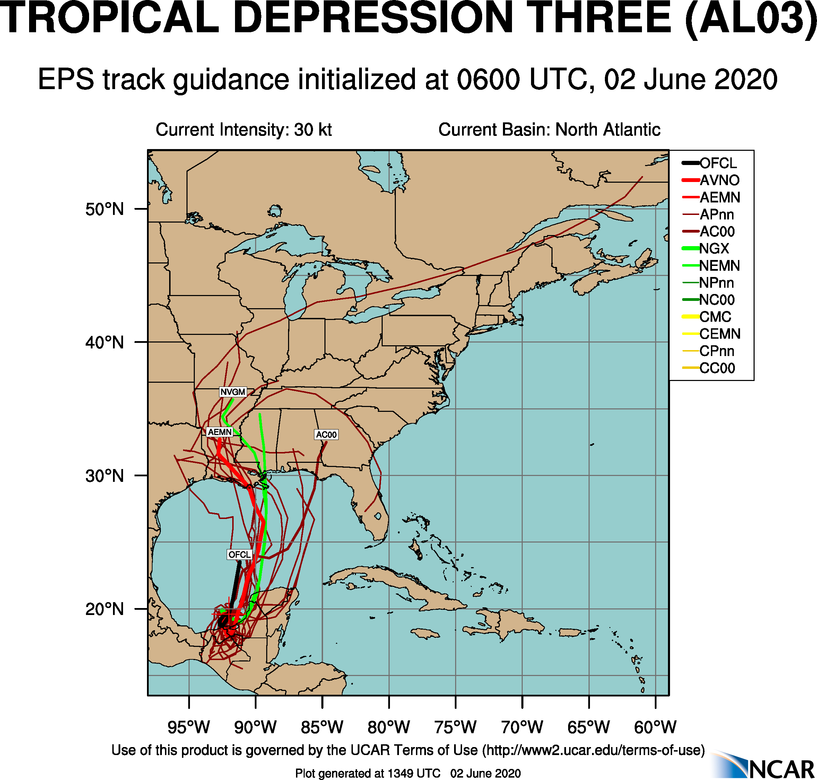
It’s still going to go through a period meandering through the Bay of Campeche before it starts to drift towards the Louisiana Bayous, which means there is still a great deal that is unknown. For the time being, this is what the forecast spaghetti plot looks like.
The potential for heavy rain will be the primary concern for coastal residents as the storm approaches, though wind and isolated tornadoes are always possible with tropical features.