
2019 may go down as one of the worst Thanksgivings for travelling in a very long time. As I sit on the south side of the Twin Cities metro area,
Snow has been ongoing today, particularly in northern Colorado, eastern Wyoming and across Nebraska, where it has closed schools, covered roads and severely disrupted Denver’s airport.
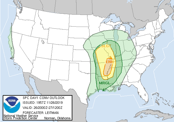
Since this isn’t a storm in the heart of the winter, there is the cold, snowy side, but also a side with strong to severe thunderstorms. There has already been one tornado warning in southern Missouri today, with more strong storms anticipated, particularly in eastern Arkansas.
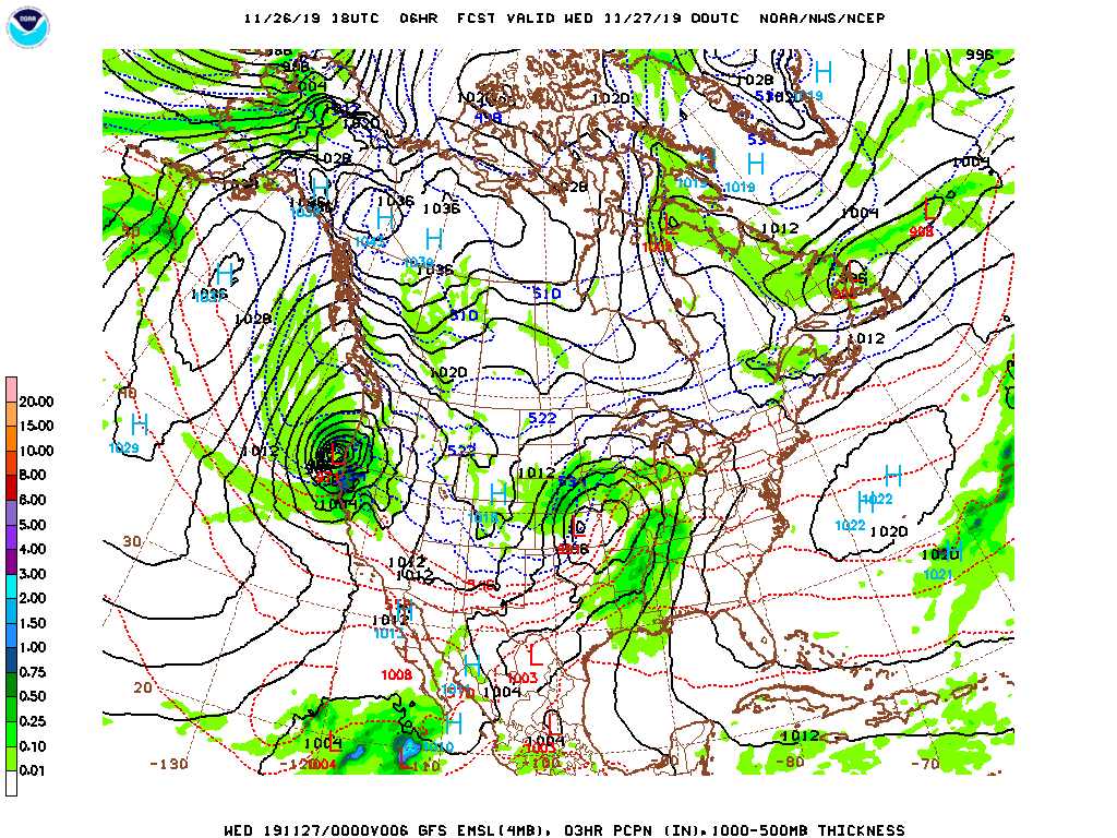
The storm is going to continue strengthening over the next 12-24 hours, reaching maximum intensity somewhere over northern Wisconsin, meaning the snow that has fallen in the Upper Midwest will be
THERE IS ANOTHER STORM.
This second storm, thanks to travel across the north Pacific is in the process of explosive cyclogenesis – a bomb cyclone – and will slam into the northern California coast tonight. With it will come more gusty winds, rain and a whole lot of snow the interior west. While much of California will appreciate the rain, they could do without more wind, and the snow inland will be fairly comprehensive. That is to say, it’s not going to be confined solely to the mountains. Take a look at the watches and warnings presently plastered across the country.
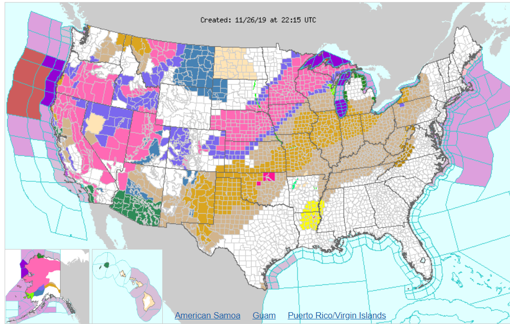
All the oranges and browns are wind related alerts, thanks to the potency of the first system, while southern Arizona is also under threat for flooding, thanks to the moisture
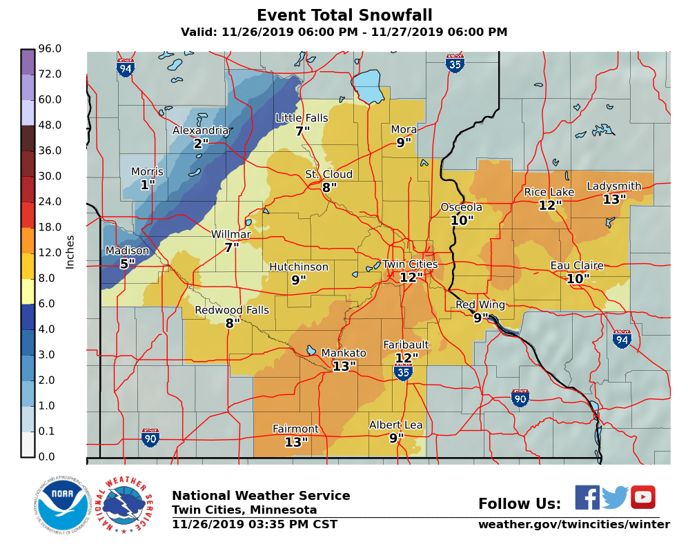
Most of the time, foot of snow the day before Thanksgiving would be bad enough, but in the Midwest, they will also need to concern themselves with the weather after Thanksgiving. If folks somehow managed to leave the house and visit their relatives, they will then need to contend with a second round of snow that will likely start as light freezing rain, particularly from about Sioux Falls to Omaha.
In my back yard, we are probably looking at another 2-4″ of snow on top of a glaze of ice, and more gusty winds to conclude what will be a very long holiday weekend.