
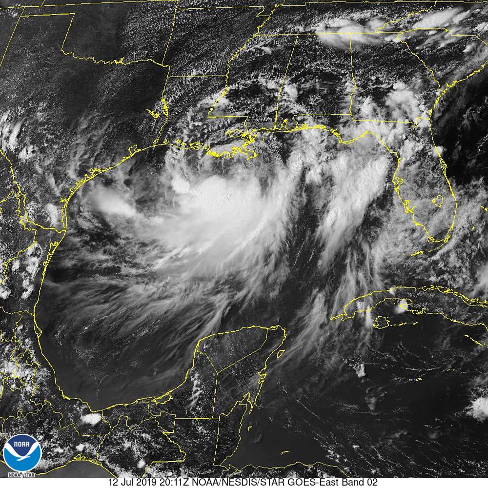
Barry formed sloppily over the northern Gulf of Mexico late in the week before he made landfall near Intracoastal City, in the south central part of the state. The forecast was for a weak hurricane, at some point, and it was, but Barry made his landfall as a tropical storm.
The traditional concerns with a hurricane – wind and storm surge, looked to be mitigated by the general disarray of the storm even as he approached the coast. Note that the center of the storm is actually on the far north side of this batch of clouds, taken on Friday.
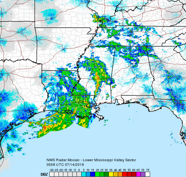
There was no rain ahead of the storm either, but that has since changed. There is now a sizeable plume of heavy rain over eastern Louisiana, with more intense bands in central Mississippi.
Barry isn’t sluggish, like Harvey a couple years ago, nor does it possess an otherworldly amount of rainfall, and isn’t very blustery. In most years, Barry would pass through inconvenient but forgotten
This year, however, the Plains have been beset by a whole lot of rain after an active late spring snow season. The Mississippi River was already up as a result of the upstream backlog, and now, Barry’s downpours will overwork the lower River and Delta.